Choosing between Morocco's coast, Atlas, and Sahara
From the Rif and Mediterranean coast to the High Atlas and the edges of the Sahara, Morocco's regions offer distinct travel experiences. This guide helps you compare landscapes and identify which logistics to verify before finalizing a route.
A documented soundscape that complements this guide to Morocco. From the Rif and Mediterranean coast to the High Atlas and the edges of the Sahara, Morocco's regions offer distinct travel experiences. This guide helps you compare landscapes and identify which logistics to verify before finalizing a route.
Audio by Eelke · Openverse · CC BY 4.0 · Duration: 03:19
Mediterranean North: Ports, Beaches, and Access to the Rif
The Mediterranean strip combines port cities like Tangier and Nador with coastal towns and settlements near the Rif mountains. Tetouan appears as a gateway to that range; Chefchaouen, located inland, offers an urban contrast of narrow streets and blue doors. The region also includes beaches and coastal destinations such as Al Hoceima, Oued Laou, and Saïdia. Coast and mountain can share the same region, but they do not describe the same experience: choose your base depending on whether you want to prioritize the shoreline, the city, or the interior of the Rif. The guide points to Tangier as a usual starting point for those arriving by ferry from Spain; verify current connections and schedules before organizing the journey.
The Atlas: Mountain Landscape and Inland Settlements
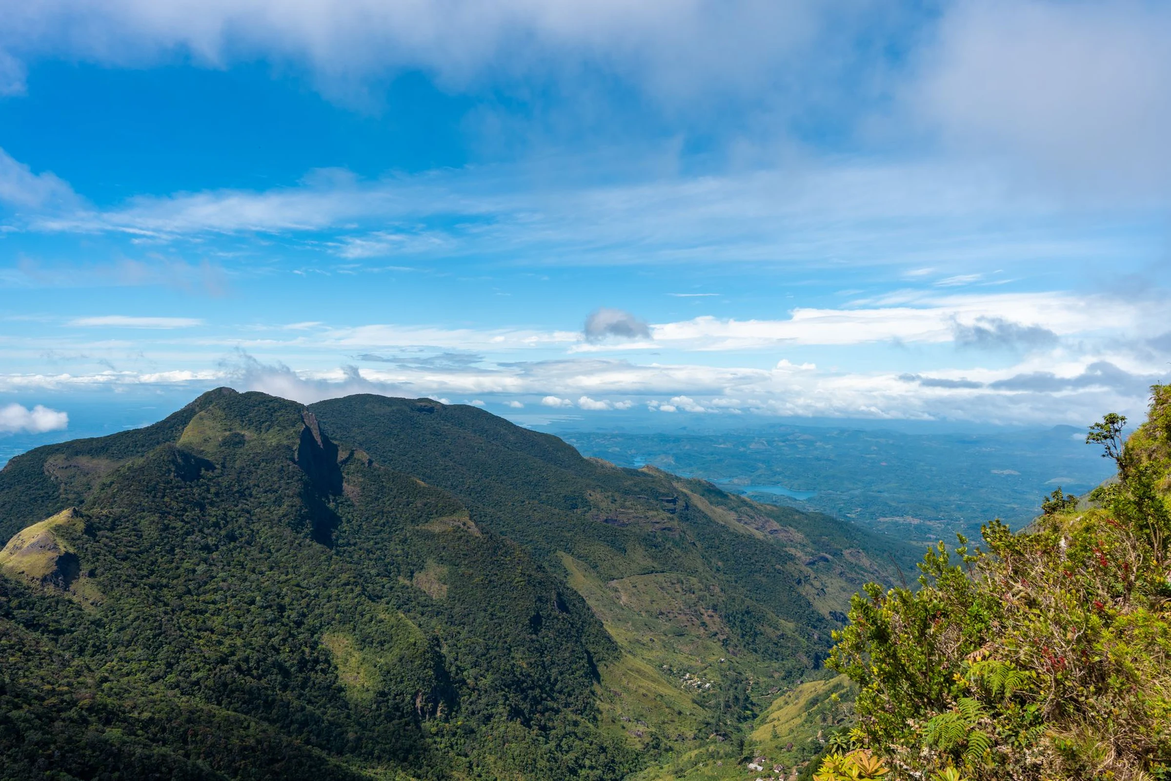
The High Atlas is listed as an area of interest for hikers and travelers attracted to Amazigh culture; Tabant is also identified as a locality in this mountainous region. The Middle Atlas, by contrast, is described alongside the areas surrounding Fez and Meknes. These references serve to separate a mountain visit from an urban tour of those cities, not to assume that distances or transfers are simple. The scale changes: before combining localities, confirm routes and travel times with updated information. The available source does not detail hiking itineraries or access conditions, so those aspects require specific verification.
South and Sahara: Choosing Between Cities, Oases, and Dunes
The Saharan region occupies an extensive part of the country and has a lower population than other described regions. Ouarzazate functions as an urban reference for the south; further east and south, M’Hamid and Merzouga are presented as settlements from whose surroundings desert excursions are organized. M’Hamid’s profile places it at the end of National Road No. 9, next to a landscape of sands and caravan routes. For a different stop, Oasis Fint is marked 15 km south of Ouarzazate. The desert is not a single stop: distinguish between using a city as a base, visiting an oasis, or planning a trip among the dunes, and verify transport, services, and local conditions separately.
Driving or Combining Transport: A Route Decision
The evidence consulted describes public transport options between cities and notes that hiring a taxi for a day of visits is a possible practice; it also indicates that a car can serve for independent travel. However, this is not enough to assert that any combination is practical. The same guide warns of narrow roads and paths shared with pedestrians, bicycles, and animal-drawn vehicles in some places. The car offers autonomy but demands attention: check rental conditions, insurance coverage, traffic restrictions, and the state of the planned route. If you prefer not to drive, confirm specific connections between the cities you have chosen; the available information does not offer current schedules or frequencies.
Sources and references
Hide references
14 references
References consulted during editorial review. Times, requirements and advisories may change: always confirm with the official source.
-
Mediterranean MoroccoLicence: CC BY-SA 4.0 Wikivoyage contributors · Mediterranean Morocco
-
MoroccoLicence: CC BY-SA 4.0 Wikivoyage contributors · Morocco
-
Saharan MoroccoLicence: CC BY-SA 4.0 Wikivoyage contributors · Saharan Morocco
-
Driving in MoroccoLicence: CC BY-SA 4.0 Wikivoyage contributors · Driving in Morocco
-
Marruecos - WikiviajesLicence: CC BY-SA 4.0 Wikivoyage contributors · Marruecos - Wikiviajes
-
Argelia - WikiviajesLicence: CC BY-SA 4.0 Wikivoyage contributors · Argelia - Wikiviajes
-
Sahara Occidental - WikiviajesLicence: CC BY-SA 4.0 Wikivoyage contributors · Sahara Occidental - Wikiviajes
-
M'HamidLicence: CC BY-SA 4.0 Fuente: Wikivoyage
-
Toubkal National ParkLicence: CC BY-SA 4.0 Fuente: Wikivoyage
-
TabantLicence: CC BY-SA 4.0 Fuente: Wikivoyage