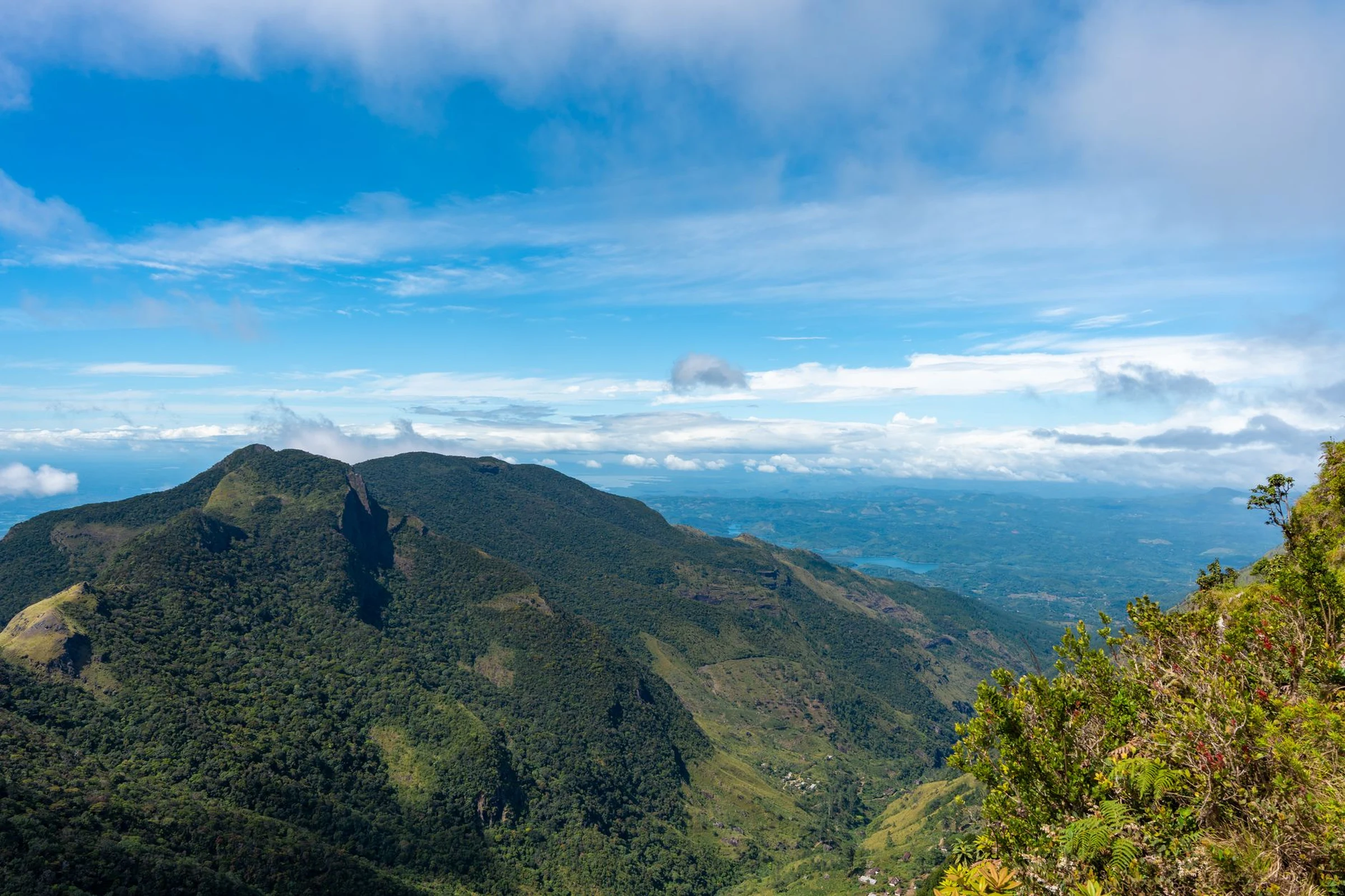
Eastern Kenya’s Highlands, Drylands and Regional Distances
In eastern Kenya, the transition from the agricultural slopes of Mount Kenya to the dry landscapes of the north and southeast changes the type of terrain and rural life encountered. This guide helps distinguish them before deciding on a route.
A broad region, not a single landscape
The designation covers areas extending from the eastern foothills of Mount Kenya and the central highlands to the more arid areas of the north and southeast. Meru, Embu, Isiolo, Marsabit, and Machakos serve as references to understand this breadth, not as a pre-resolved route between cities. Position within the region changes the landscape: the highland and western zones include fertile and more populated terrains; towards the east and north, drier areas predominate, featuring grasslands, scrub, and semi-desert.
Water helps explain the change
Around the foothills of Mount Kenya, higher rainfall favors intensive agriculture. Tea, coffee, fruits, vegetables, maize, and dairy products form part of the production described for those areas. Further east and north, where conditions are drier, livestock plays an important role in livelihoods. Do not extrapolate the highland climate to the entire region: conditions vary significantly between zones.
Localities to situate the territory
Embu and Meru help locate the sectors linked to the highlands; Isiolo and Marsabit provide orientation towards drier regions. Machakos appears as a reference for the semi-arid landscapes of the southeast. These are geographic orientation points, not a guarantee of convenient connections or specific services. Before incorporating them into an itinerary, separately verify transport, road conditions, and local availability with updated sources.
Landscape and ways of life
The environmental difference is also reflected in rural activities: agriculture in the wetter zones and livestock in the dry areas. The region brings together agricultural and pastoral practices, trade networks, and diverse languages; a responsible visit avoids treating these communities as a single culture or as a backdrop. Geography offers context, not a complete description of local life: for a specific visit, seek situated information and respect the customs of each community.
What to check before deciding
Available information allows comparing the broad features of the territory, but not establishing an itinerary, travel times, schedules, or current access conditions. Confirm these data for each place you wish to visit; distances and climate variety make it unhelpful to plan the region as if it were homogeneous. If your main interest is a specific reserve or park, consult the responsible source directly about access and current conditions.
Sources and references
Hide references
14 references
References consulted during editorial review. Times, requirements and advisories may change: always confirm with the official source.
-
Eastern KenyaLicence: CC BY-SA 4.0 Wikivoyage contributors · Eastern Kenya
-
Western KenyaLicence: CC BY-SA 4.0 Wikivoyage contributors · Western Kenya
-
Mount KenyaLicence: CC BY-SA 4.0 Wikivoyage contributors · Mount Kenya
-
Kenia - WikiviajesLicence: CC BY-SA 4.0 Wikivoyage contributors · Kenia - Wikiviajes
-
Sudán del Sur - WikiviajesLicence: CC BY-SA 4.0 Wikivoyage contributors · Sudán del Sur - Wikiviajes
-
Tanzania - WikiviajesLicence: CC BY-SA 4.0 Wikivoyage contributors · Tanzania - Wikiviajes
-
Uganda - WikiviajesLicence: CC BY-SA 4.0 Wikivoyage contributors · Uganda - Wikiviajes
-
MoyaleLicence: CC BY-SA 4.0 Fuente: Wikivoyage
-
NanyukiLicence: CC BY-SA 4.0 Fuente: Wikivoyage
-
KenyaLicence: CC BY-SA 3.0 DBpedia