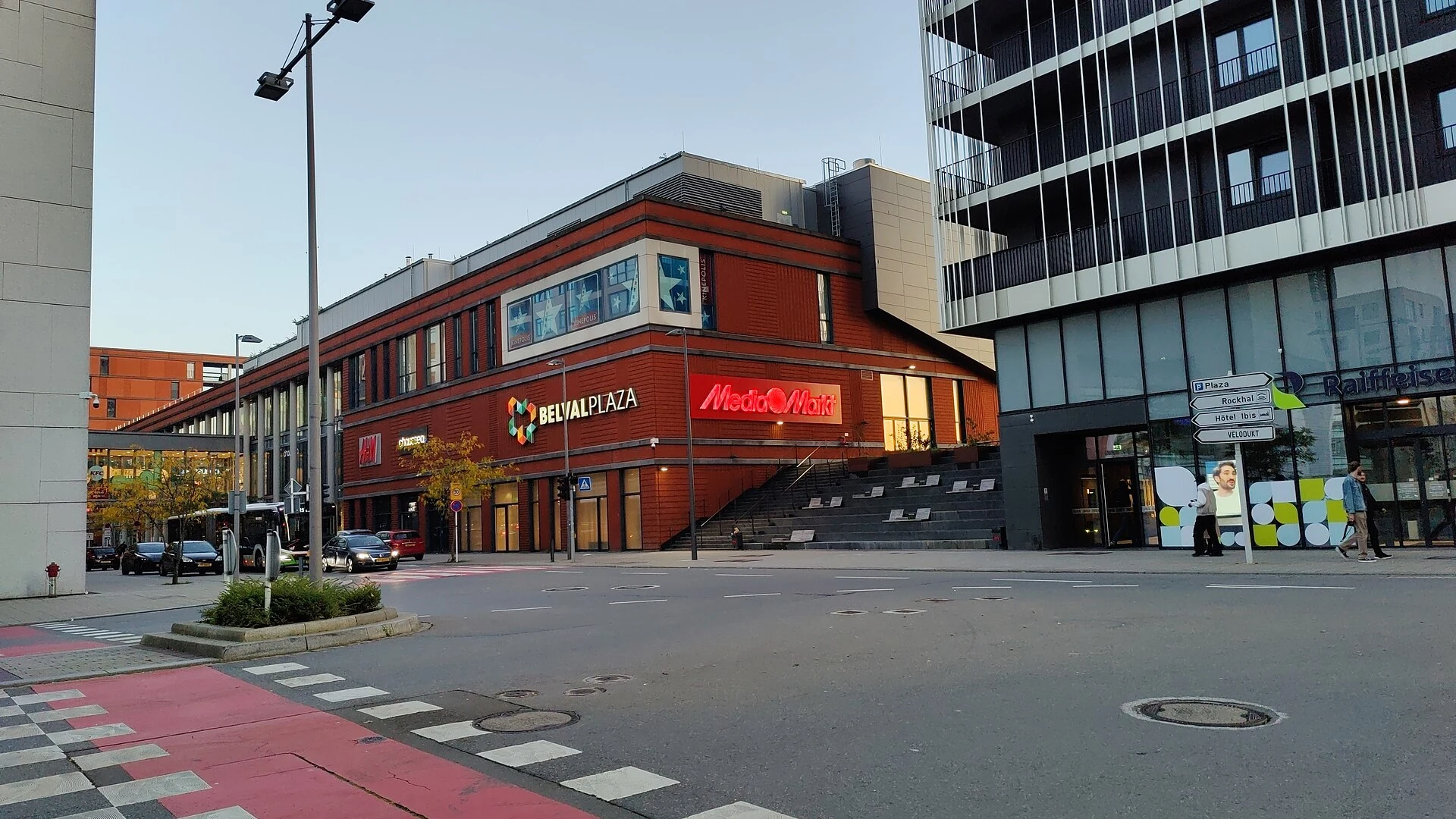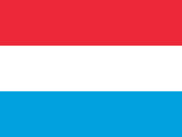
Luxembourg’s location, capital and three recorded languages
A straightforward starting point for getting your bearings in Luxembourg: its location, capital, recorded languages and currency.
Read guide →Grand Duchy of Luxembourg
All articles about the country, including other pages. Select a point to discover its guides.
If the map does not load, all guides remain available in this list.
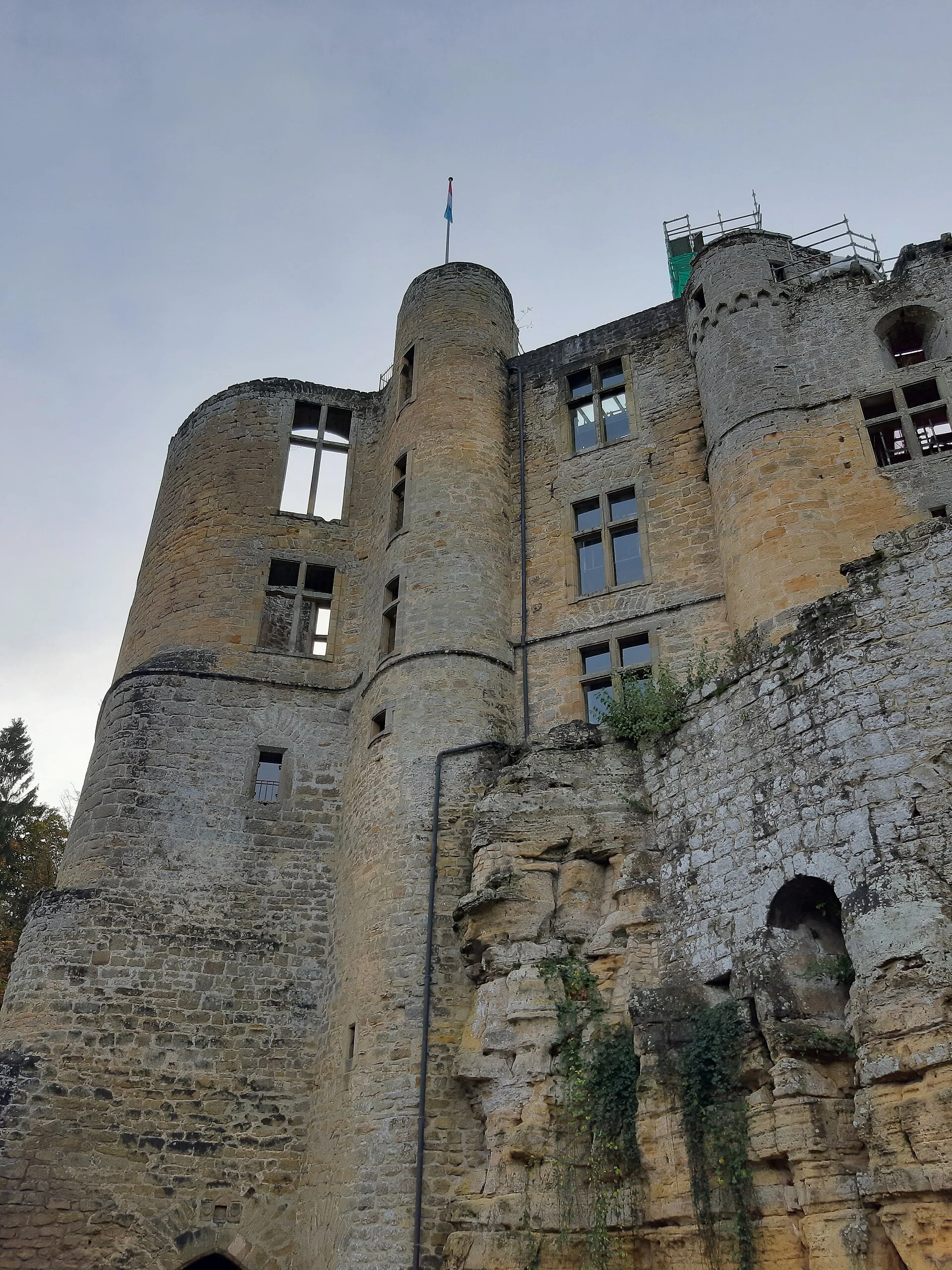
Beaufort features on Route 3 of the Mullerthal Trail, a 37.69 km walk through the Schwarze Ernz, Halerbaach and Haupeschbach valleys. The route is graded difficult and includes 686 m of ascent.
Explore the place →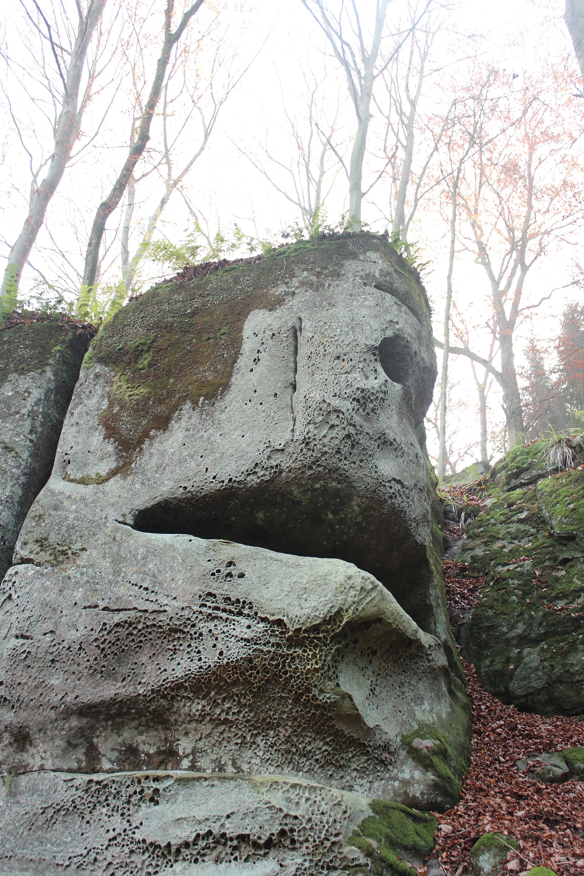
Berdorf is named as one of the settings on the Mullerthal Trail’s Route 2, known for rock formations and gorges. It suits a day focused on the rocky landscape rather than an attempt to complete the entire loop.
Explore the place →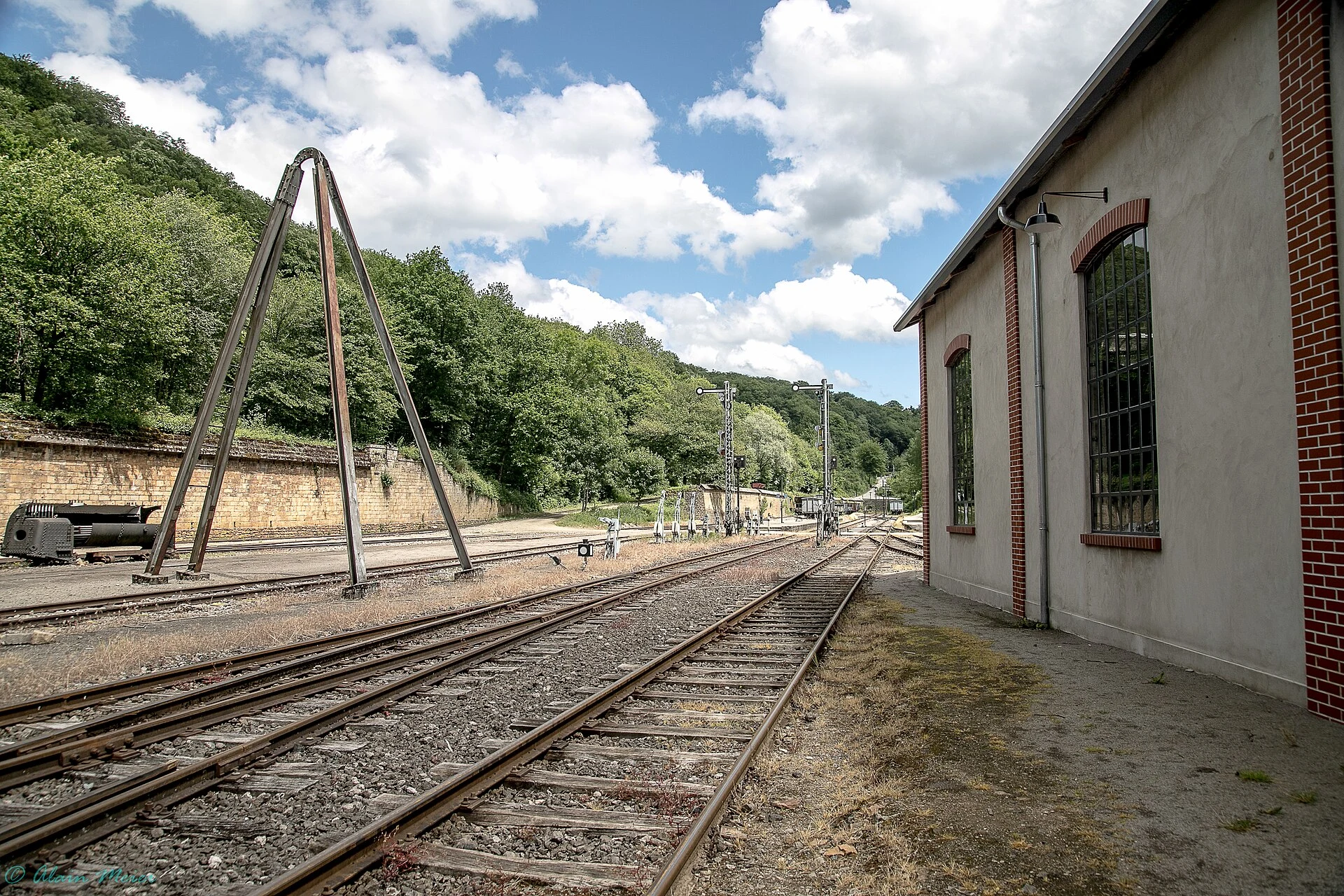
Fond-de-Gras presents Minett’s mining history through its tracks, locomotives and service buildings, as well as the route once used to transport ore.
Explore the place →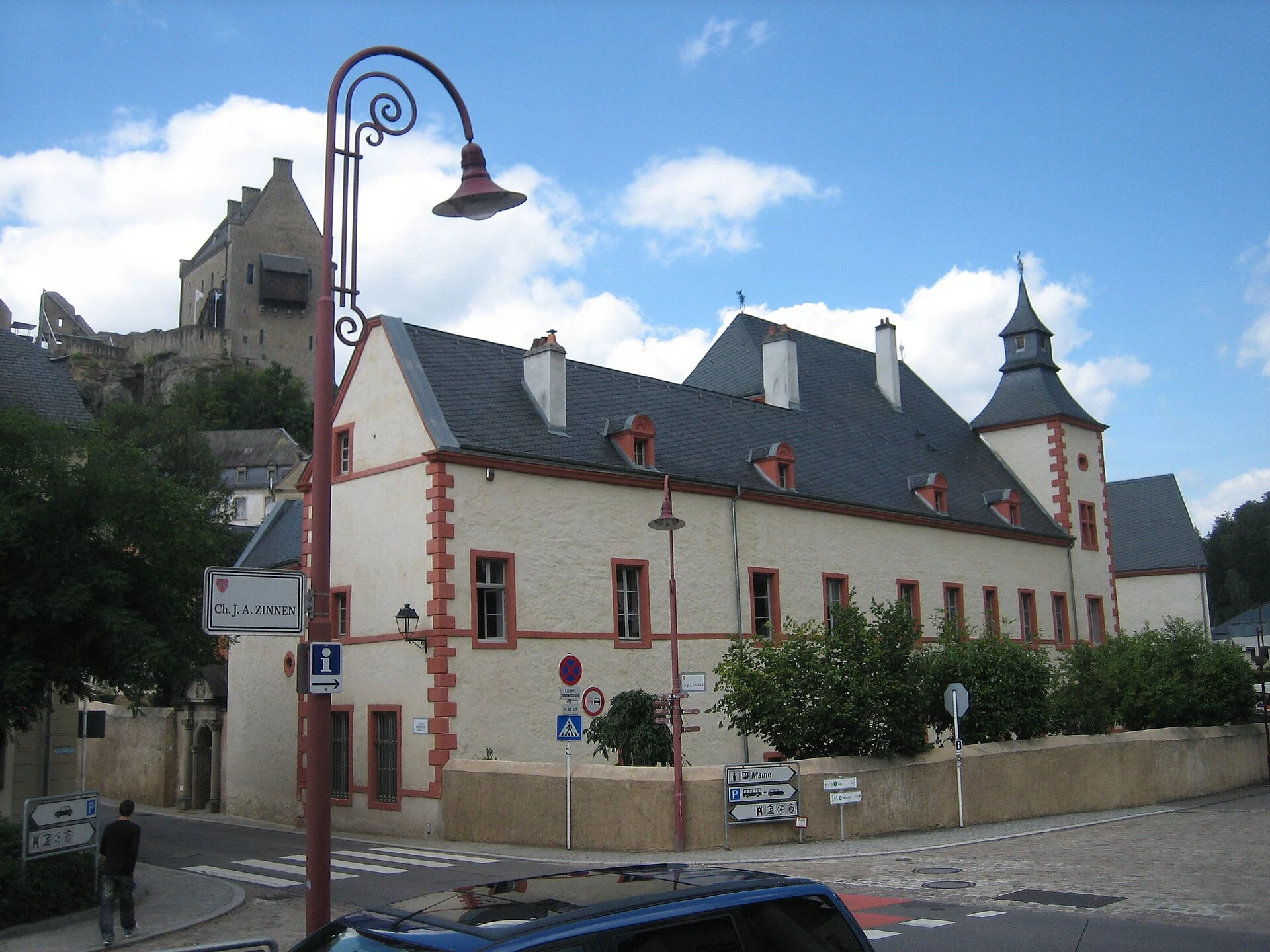
Larochette is one of the suggested access points for the Mullerthal Trail. Route 3, rated difficult and also proposed as a two-stage walk, links wooded valleys with Beaufort and Larochette, where hikers can pause in the town and by its castle.
Explore the place →
Lasauvage features on the Fond-de-Gras railway route: the Minièresbunn heads there and includes a stop for a mine visit.
Explore the place →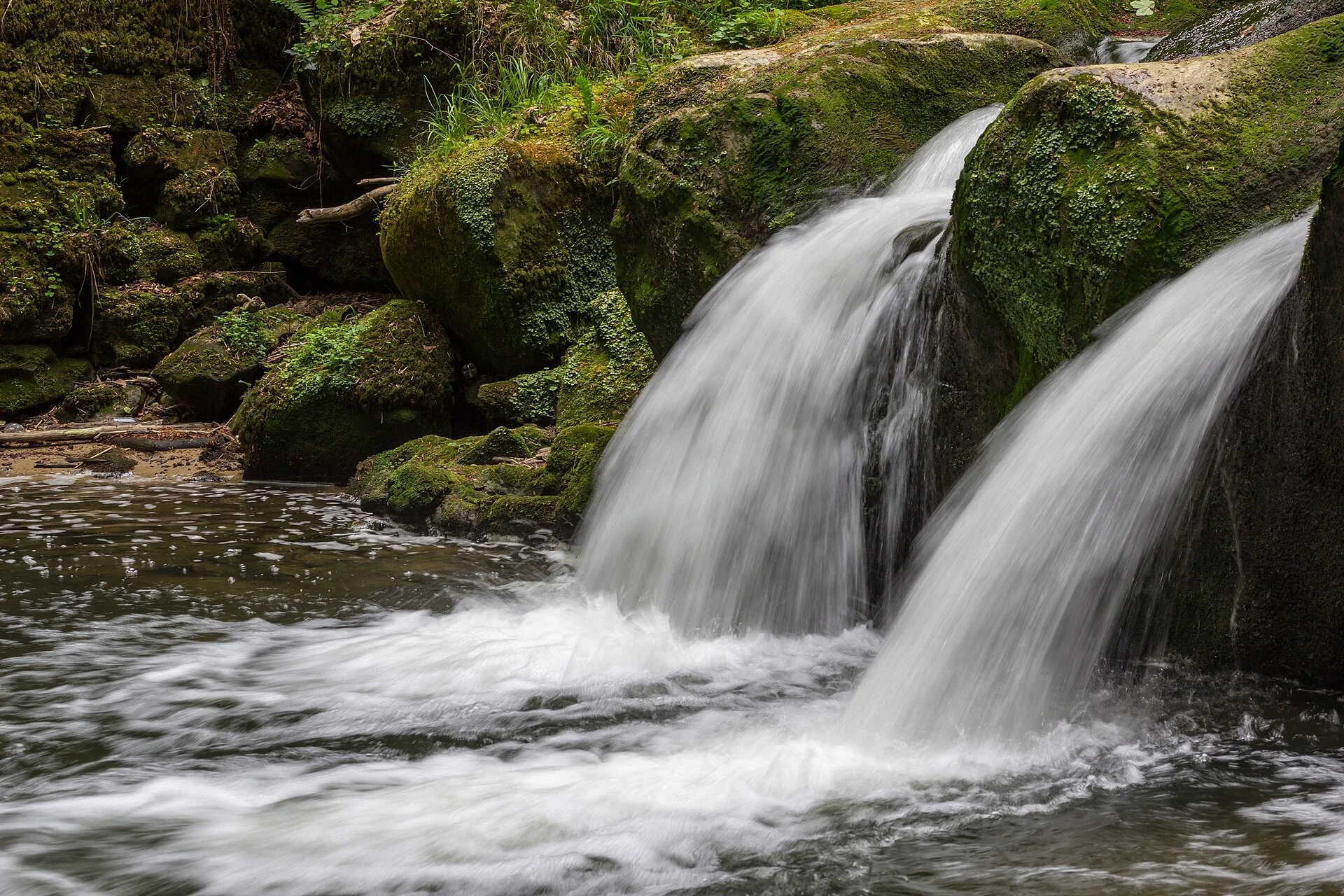
Luxembourg City is the capital of the country of the same name in western Europe. When consulting maps or making plans, distinguish the city from the Grand Duchy; the available information does not describe its districts, visits or urban transport.
Explore the place →
Müllerthal is a region of trails, water, rock and linked communities. Its Mullerthal Trail has three loops totalling about 112 km, each with different terrain, elevation and demands.
Explore the place →
Pétange is linked to an old mining railway connecting the town with the Fond-de-Gras valley by the historic Train 1900.
Explore the place →
Rumelange, in the Minett mining region, offers an insight into extraction work at the National Mining Museum. An individual visit includes a guided tour of the mine and a small train ride.
Explore the place →
Schéissendëmpel is a small bridge beside a waterfall in the Müllerthal region. It lies on Route 2 and appears at the end of Route 3 of the Mullerthal Trail; closures or diversions can change the planned walk.
Explore the place →