Geographic orientation and practical reference points
Madagascar, an Indian Ocean island to get your bearings before travelling
A first compass for locating Madagascar, understanding Antananarivo’s role and checking practical details without assuming that routes or services are current.
journal.travel Atlas
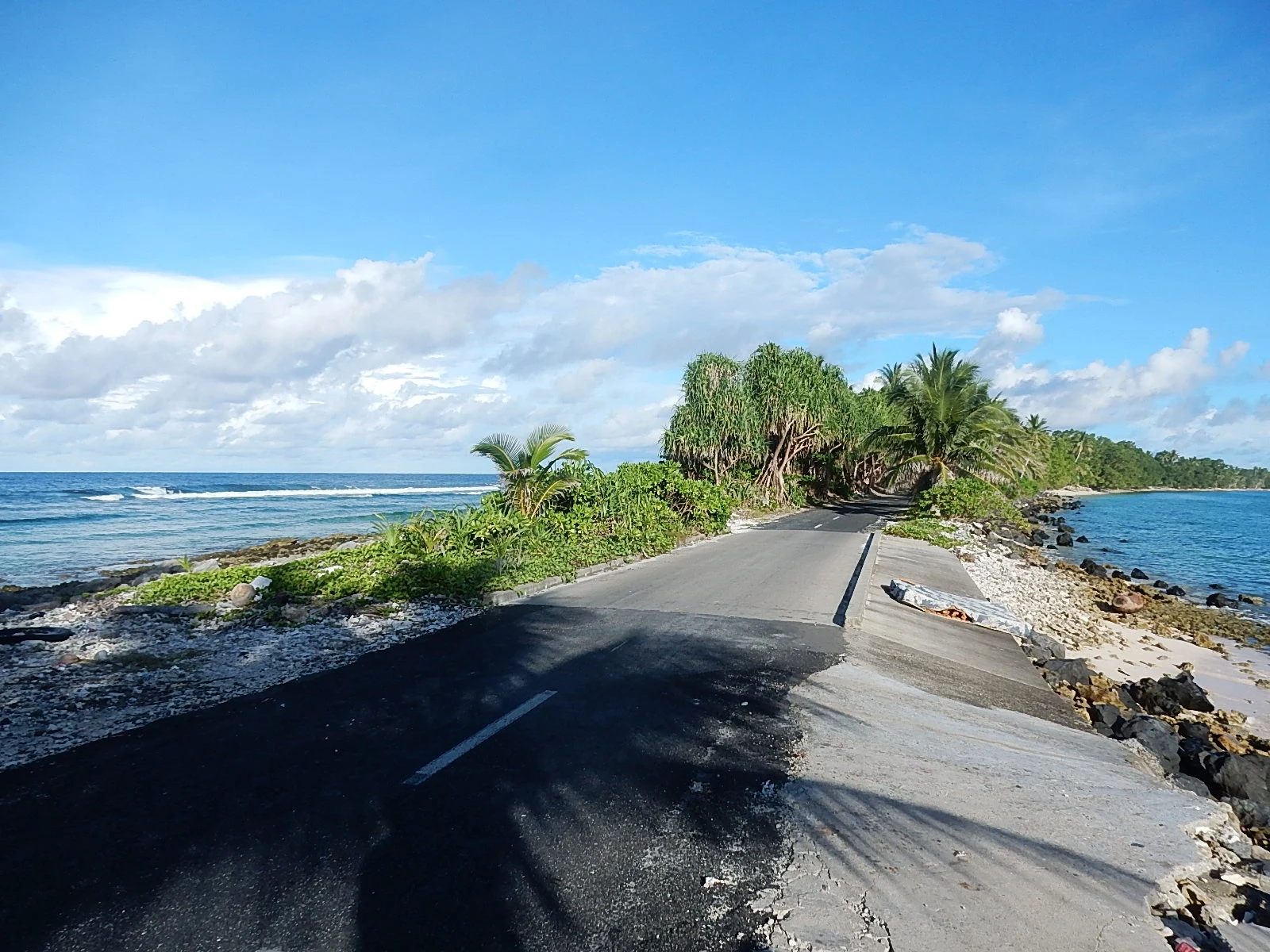
Photography pending verification
Madagascar is an island country in East Africa, located in the Indian Ocean; its capital is Antananarivo. The country and its capital are useful starting points, not an itinerary: the information available here does not document domestic connections, distances between destinations or specific attractions. When planning a trip, distinguish stable facts—location, languages and currency—from operational details, which can change and need to be checked directly. The recorded languages are French and Malagasy, and the currency is the Malagasy ariary (MGA; Ar).
An island and a country in the Indian Ocean
Madagascar is an island country in East Africa and shares no coastline with another country, making it a clear geographic reference point when you begin orienting yourself. The island of Madagascar and the state called Madagascar are closely linked by name, but the country profile does not provide a detailed map, visitor-oriented regional breakdown or list of other island territories. Use it as a starting point, then consult up-to-date maps before planning journeys. An island’s scale does not mean that getting around is straightforward: without verified transport and distance information, it is unwise to estimate journey times or string destinations together based on a general description.
Antananarivo as a reference point, not a guaranteed gateway
Antananarivo is the capital and is located in the Analamanga region, according to the available geographic records. This makes it a useful reference for locating the country and looking up specific local information. One database identifies Ivato Airport as being associated with Antananarivo, but that mention does not confirm that the airport is currently operating or provide information about current flights, airlines or routes. Before buying tickets or arranging transfers, check the airport’s status and connections directly using up-to-date operational sources. Do not turn a geographic identification into a promise of service: transport availability must be checked for your specific travel dates.
Languages to help you prepare for communication
The languages recorded for Madagascar are Malagasy and French. This information can help you prepare vocabulary, translations and travel materials, but it does not establish which language will be used in a particular situation or how well any individual understands it. If you need to take care of something specific, confirm in advance with the relevant establishment or organisation which language it can accommodate. A card with proper names, addresses and essential details may be useful, although the available profile does not assess interpreting services. Treat the languages as general guidance, not as a guarantee that a conversation or transaction will be possible in a particular language.
The ariary: know the currency and check payment arrangements
The stated currency is the Malagasy ariary, abbreviated as MGA and represented by the symbol Ar. It is a stable fact worth knowing before planning expenses and payments. However, the information compiled here does not include exchange rates, fees, card acceptance, cash availability or financial institution opening hours. Do not use this reference to estimate a budget: check current conditions with financial providers and businesses relevant to your trip. Separating currency from payment methods helps avoid assuming that knowing the national currency answers everyday questions; also check which options are available in the specific places you plan to visit.
What to check before finalising your plans
The information available provides a framework for locating the destination, but does not verify opening hours, entry requirements, safety, accessibility, prices or tourist services. Nor does it support recommendations about when to visit or descriptions of routes within the country. Before setting dates, confirm the requirements that apply to you with the relevant authorities; before booking tickets, check routes and operations with airlines and airports; and, for any specific visit, contact the relevant venue or provider. If your plans depend on assistance, mobility or a particular connection, ask for direct confirmation rather than inferring it from the geography. Practical decisions require current sources that match your dates, needs and exact destination.
References consulted during editorial review. Times, requirements and advisories may change: always confirm with the official source.
- Madagascar WikidataCC0 1.0 Wikidata · Q1019
- Madagascar WikidataCC0 1.0 Wikidata · Q174555
- Madagascar WikidataCC0 1.0 Wikidata · Q3496405
- Madagascar WikidataCC0 1.0 Wikidata · Q2261392
- Madagascar WikidataCC0 1.0 Wikidata · Q7463928
- Madagascar WikidataCC0 1.0 Wikidata · Q3234726
- Madagascar World Countries — mledozeODbL 1.0 World countries dataset by mledoze and contributors · ODbL 1.0
- Antananarivo GeoNamesDatos geográficos bajo CC BY 4.0; requiere atribución a GeoNames. Fuente: GeoNames
- Antananarivo, Analamanga, Province d’Antananarivo, 101, Madagascar OpenStreetMapODbL 1.0; atribución y obligación de compartir bases derivadas. Fuente: OpenStreetMap
- Madagascar World Bank Open DataCC BY 4.0 World Bank
- Madagascar DBpediaCC BY-SA 3.0 DBpedia
- Ivato Airport OpenFlightsODbL 1.0 (base de datos) / DbCL 1.0 (contenidos) Ivato Airport · OpenFlights · ODbL 1.0