Geographical and practical orientation before planning
Mali, Bamako, and the CFA Franc as a Foundation for Planning
Mali is a landlocked country in West Africa, with Bamako as its capital. This initial guide provides the data needed to locate the country and highlights which travel details must be verified separately.
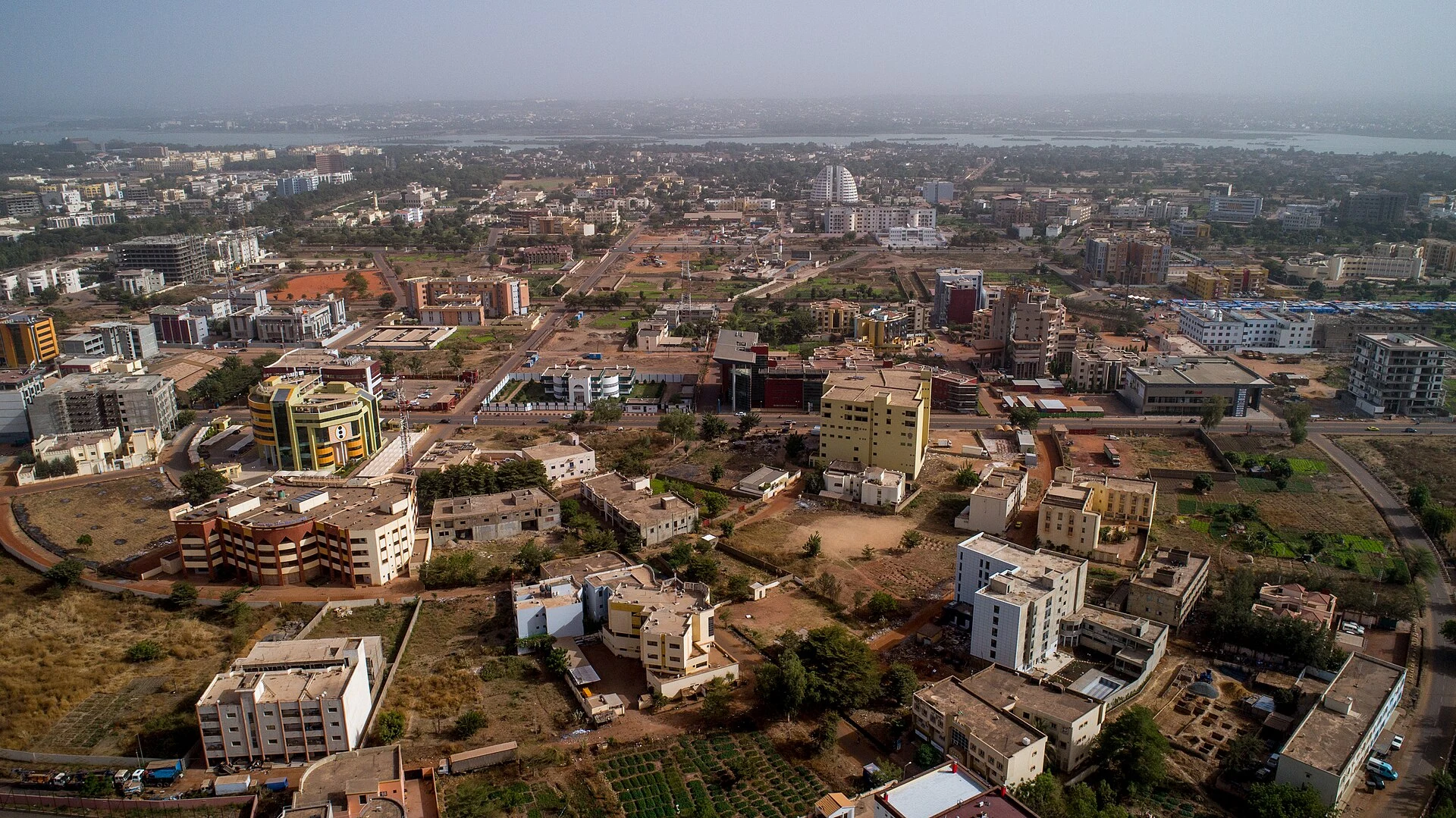
Mali is located in West Africa and has no coastline; Bamako, its capital, is the most concrete reference point available for beginning to locate the country. These details help organize planning but do not, on their own, describe current travel conditions. Before making decisions about connections, services, or transit, it is advisable to consult up-to-date and specific information. French is listed as a registered language, and the West African CFA franc as the currency: useful references for preparing questions and reviewing practical information, not guarantees of service availability in every location.
Locating Mali in West Africa
Mali belongs to West Africa and is a landlocked country. The combination of region and geographical condition helps situate it on a map, but it is not enough to deduce distances, viable routes, or travel times within the country. If you are considering an itinerary, consult current maps and transport data for each leg; general geographical information does not confirm that a specific connection exists or is operational. As a first reference, thinking of Mali as an inland country avoids planning it as a coastal destination and helps separate geographical orientation from mobility decisions.
Bamako, the capital reference
Bamako is the capital of Mali and the specific urban reference that gathers available information. It can serve as a starting point for searching updated data on entry to the country or subsequent travel, but it should not be taken as proof that specific flights, services, or connections are available. The geographical profile identifies the city; it does not provide schedules, access conditions, or services for travelers. Before finalizing plans, verify current options with relevant providers and confirm each leg separately. Keeping this limit clear turns Bamako into a reference for research, not a promise of connection.
Language and currency as preparation keys
French appears as a registered language of Mali, and the indicated currency is the West African CFA franc (XOF), whose symbol is Fr. These are useful data points for recognizing names and references when reviewing information intended for visitors. They do not allow asserting which languages are used in a specific situation or which payment methods are accepted by certain shops or services. For practical matters, confirm information with the relevant entity or provider before traveling. Thus, French and XOF function as initial orientation data, not as substitutes for local and updated verification.
What can be concluded and what remains to be verified
Available information allows affirming the region, the landlocked condition, the capital, a registered language, and the currency. It does not provide a guide to visitable places, heritage, public transport, accommodations, schedules, entry requirements, or security conditions. It also does not allow recommending dates or building a responsible tourist route with concrete details. To avoid decisions based on assumptions, separate stable data from what changes: check connections and services close to the planned date, and consult current official information for any travel requirement. Specific verification is an essential part of this initial orientation.
A brief basis for organizing research
Start by locating Mali in West Africa and noting Bamako as the capital; then, use French and the XOF as references when interpreting practical information. Next, research each travel leg and service you need separately, without assuming general or historical records are current. If you still cannot verify a connection, a requirement, or the availability of a service, leave that part of the plan open instead of completing it with an assumption. This approach does not constitute an itinerary: it is a prudent way to build one with current data and verifiable decisions.
References consulted during editorial review. Times, requirements and advisories may change: always confirm with the official source.
- Mali WikidataCC0 1.0 Wikidata · Q912
- Mali WikidataCC0 1.0 Wikidata · Q11987935
- Mali WikidataCC0 1.0 Wikidata · Q12795573
- Mali World Countries — mledozeODbL 1.0 World countries dataset by mledoze and contributors · ODbL 1.0
- Bamako GeoNamesDatos geográficos bajo CC BY 4.0; requiere atribución a GeoNames. Fuente: GeoNames
- Bamako GeoNamesDatos geográficos bajo CC BY 4.0; requiere atribución a GeoNames. Fuente: GeoNames
- Bamako, Mali OpenStreetMapODbL 1.0; atribución y obligación de compartir bases derivadas. Fuente: OpenStreetMap
- Bamako, Mali OpenStreetMapODbL 1.0; atribución y obligación de compartir bases derivadas. Fuente: OpenStreetMap
- Mali World Bank Open DataCC BY 4.0 World Bank
- Mali DBpediaCC BY-SA 3.0 DBpedia
- Criterios para la gestión sostenible de paisajes culturales extremos: (Hipo/Hiperdesarrollo): Mali, China y México OpenAlexCC0 1.0 OpenAlex
- Los retos en investigación, comunicación y educación de los museos de Lima en el marco de la COVID-19. Una discusión sobre los desafíos del futuro a partir de su situación actual y de las experiencias del MALI y el MUCEN OpenAlexCC0 1.0 OpenAlex
- Modibo Keita International Airport OpenFlightsODbL 1.0 (base de datos) / DbCL 1.0 (contenidos) Modibo Keita International Airport · OpenFlights · ODbL 1.0