How to prepare for a day hike
Plan a day hike with practical advice on routes, weather, equipment, water, group walking and emergencies, backed by official sources.
Conditions described in the guide: confirm current requirements and access with the official source before travelling.
Choose a route that suits the whole group
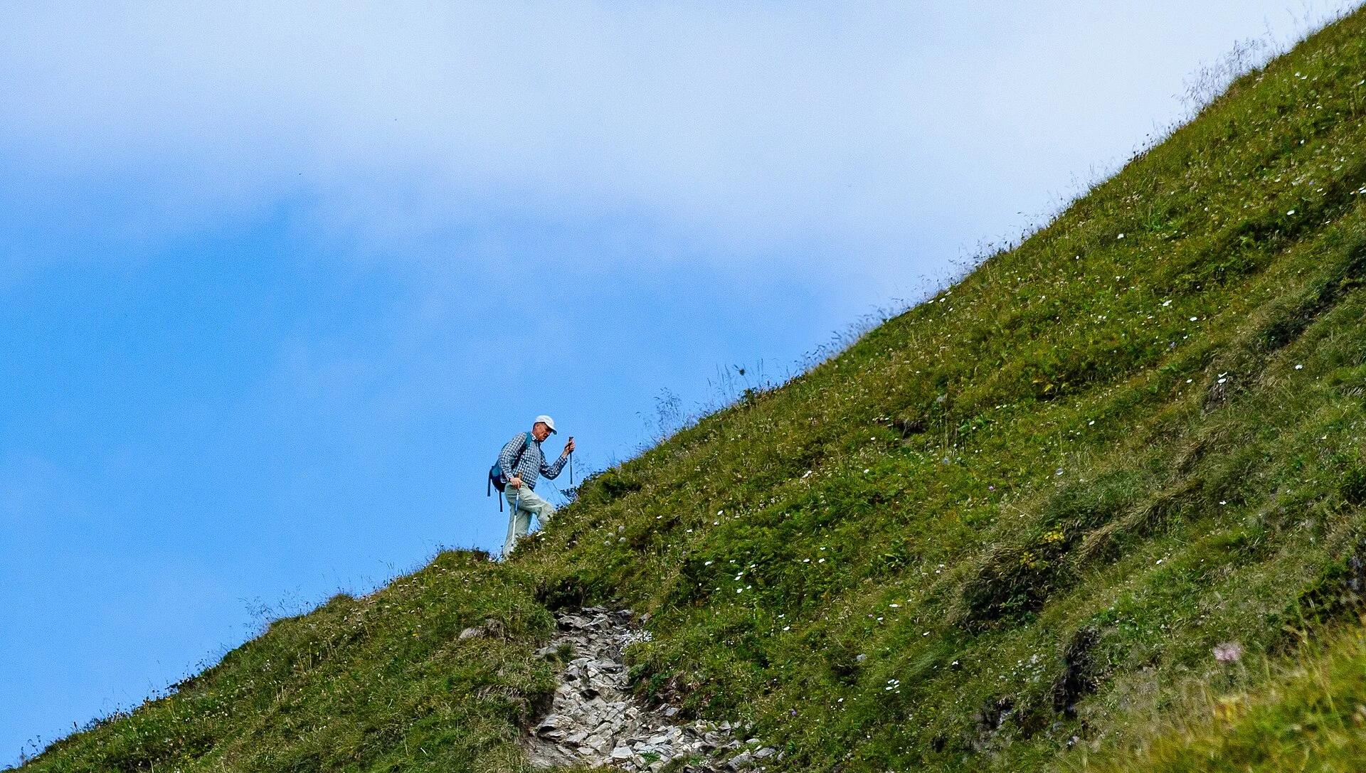
Find the route description from the land manager or the relevant hiking or mountaineering federation. Assess total distance, cumulative ascent and descent, expected duration and terrain together. A short route over rough rock, steep slopes or exposed ground may be harder than a longer walk on an easy track. Cumulative elevation gain adds up the climbs along the route; it is not simply the difference between the start and the highest point.
Check whether the distance is one way or for the complete walk, and where a linear route finishes. Include the return, breaks and time for delays. App timings are estimates: adapt them to the experience and pace of the people who need to move more slowly. A grading system such as Spain’s MIDE can help describe demands, but does not replace a group assessment.
Start with a well-documented trail, straightforward navigation and safe ways to turn back. Avoid snow, ice, difficult river crossings and sections requiring unfamiliar skills. Agree on a turnaround point and time even if the destination has not been reached. Clubs should explain the actual demands before accepting participants and check permits, site rules and organisational responsibilities with the relevant federation or authority.
Check forecasts and be willing to cancel
Consult the official weather service when planning and again before leaving. Check the area and elevations on your route, rather than just the nearest town: rain, thunderstorms, wind, temperature, wind chill and visibility can change with height. In Spain, AEMET provides mountain forecasts and warnings; elsewhere, use the appropriate national service.
Read which hazard a warning covers, its timing and geographical area. Check closures, wildfire restrictions and notices from the land manager as well. No warning does not mean every route is safe. Forecast thunderstorms, wind that could affect balance, unmanageable heat, fog on difficult terrain or snow beyond your skills are reasons to change the walk or cancel.
As you walk, compare actual conditions with the forecast. Turn back while a safe alternative remains available if conditions worsen, daylight margins shrink or someone cannot continue safely. Travelling to the trailhead or being close to a summit creates no obligation to keep going.
Write a trip plan and arrange a return check
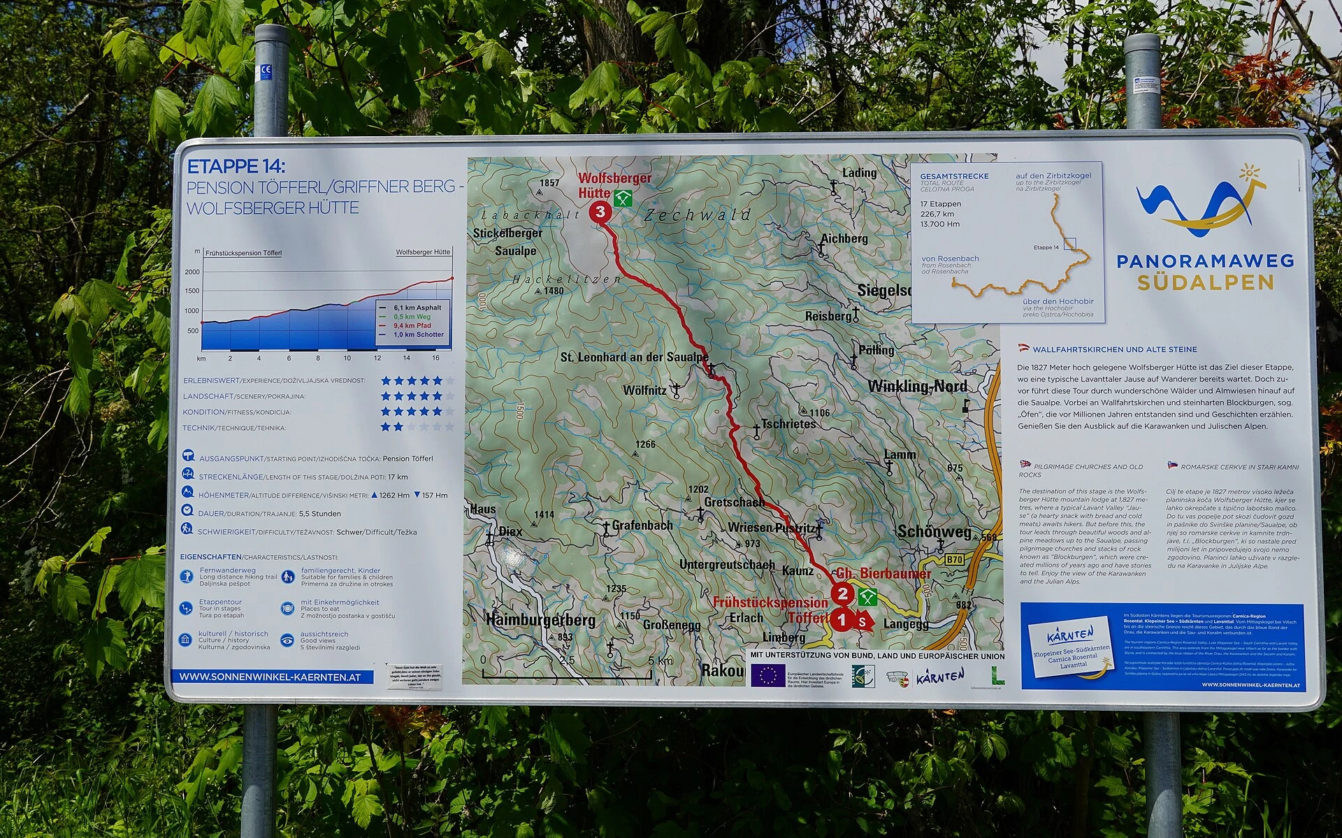
Prepare a plan you can read offline and leave a copy with someone who is not coming. Include the route name and location, start and finish, intended itinerary, alternatives, timings, participants, phone numbers and transport details. A route file is useful, but add a clear description of important junctions and landmarks.
Agree on your expected return time and what your contact should do if they hear nothing: try to reach you and, if the delay is worrying or there are signs of danger, contact emergency services with the plan. Tell them about changes when possible, and explicitly confirm your safe return. Live location sharing can help, but depends on coverage and battery power and cannot replace this arrangement.
Pack essential equipment and know how to use it
Wear footwear you have already tried, suitable for the surface and with sound soles; do not break in boots on a demanding outing. Use layers to regulate warmth and carry insulation and rain and wind protection for the forecast conditions. A hat, sunglasses and sunscreen remain useful in cool weather. Waterproof the clothing and equipment that must stay dry.
Each person needs water, food, a working headlamp, spare batteries or power and their usual medication. Adapt the first-aid kit to the group and carry supplies you know how to use, such as dressings, gauze and blister protection. An emergency blanket and whistle can help during an unexpected wait. Check the contents before leaving; sharing group equipment must not leave someone without essentials if accidentally separated.
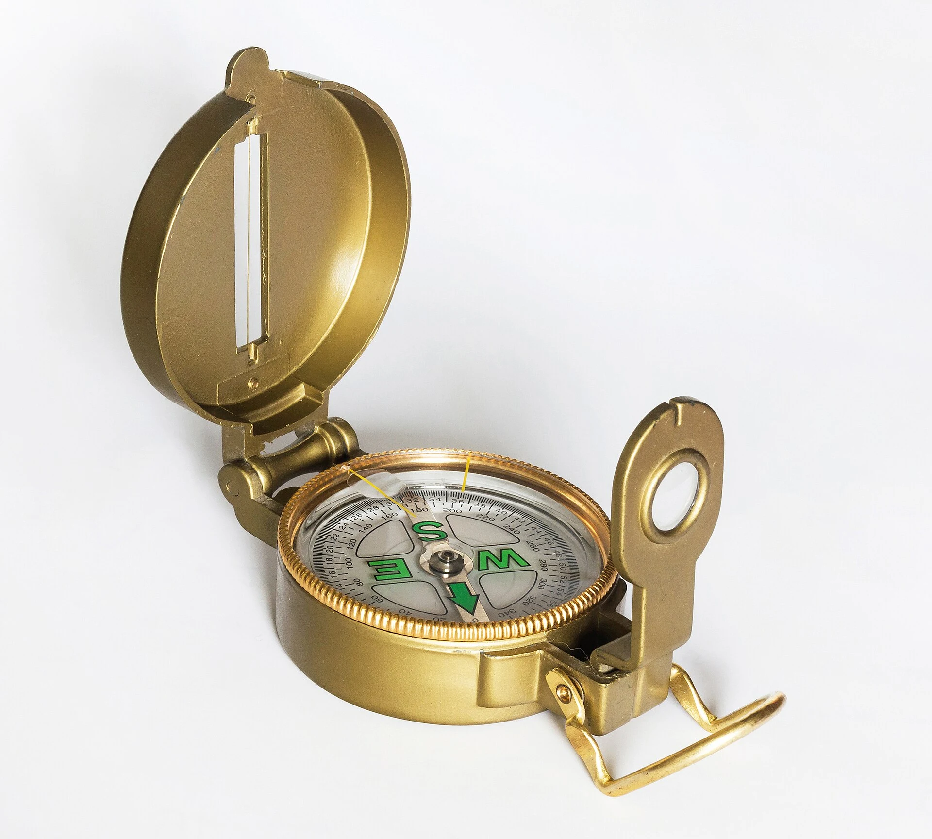
Carry a readable map and navigation tools you can operate. Download your map and route in advance if using an app, and check that they open without mobile data. Charge your phone and conserve its battery; a power bank may help. A dot on a screen does not explain a ravine, a closed trail or a difficult section. Practise navigation somewhere easy before relying on it.
Plan water and food for the actual conditions
Work out your water needs using the full duration, effort, heat, sun exposure and individual requirements. Consult local land-manager advice and allow for delays. There is no single quantity that suits every hike. Confirm that refill points are open and provide drinking water; do not rely on a seasonal spring or assume a clear stream is safe.
Bring familiar food that travels well and is easy to eat during a break, plus a reserve for unexpected delays. Keep water and some food accessible so stops are not continually postponed. Drink regularly and reduce effort in heat. If you cannot reliably carry or replenish enough water, shorten the route or choose another.
Keep a comfortable pace and notice fatigue
Start gently and maintain a pace everyone can sustain, including on the descent. Stop in safe places without blocking the trail to drink, eat and adjust layers. Ask how people are doing: repeatedly falling behind, stumbling more often or no longer enjoying the walk are reasons to reconsider the plan before exhaustion develops.
Strong thirst, a dry mouth, weakness, headache, dizziness or nausea may indicate dehydration, heat-related illness or other problems; they do not establish a diagnosis on the trail. Stop exertion, find a safe, cooler place and assess whether to return or seek help. Confusion, fainting, significant breathing difficulty or worsening symptoms require urgent assistance. Do not force fluids on anyone who is not fully conscious or cannot swallow. Discuss individual medical concerns with a health professional before the activity.
Follow the trail and organise the group
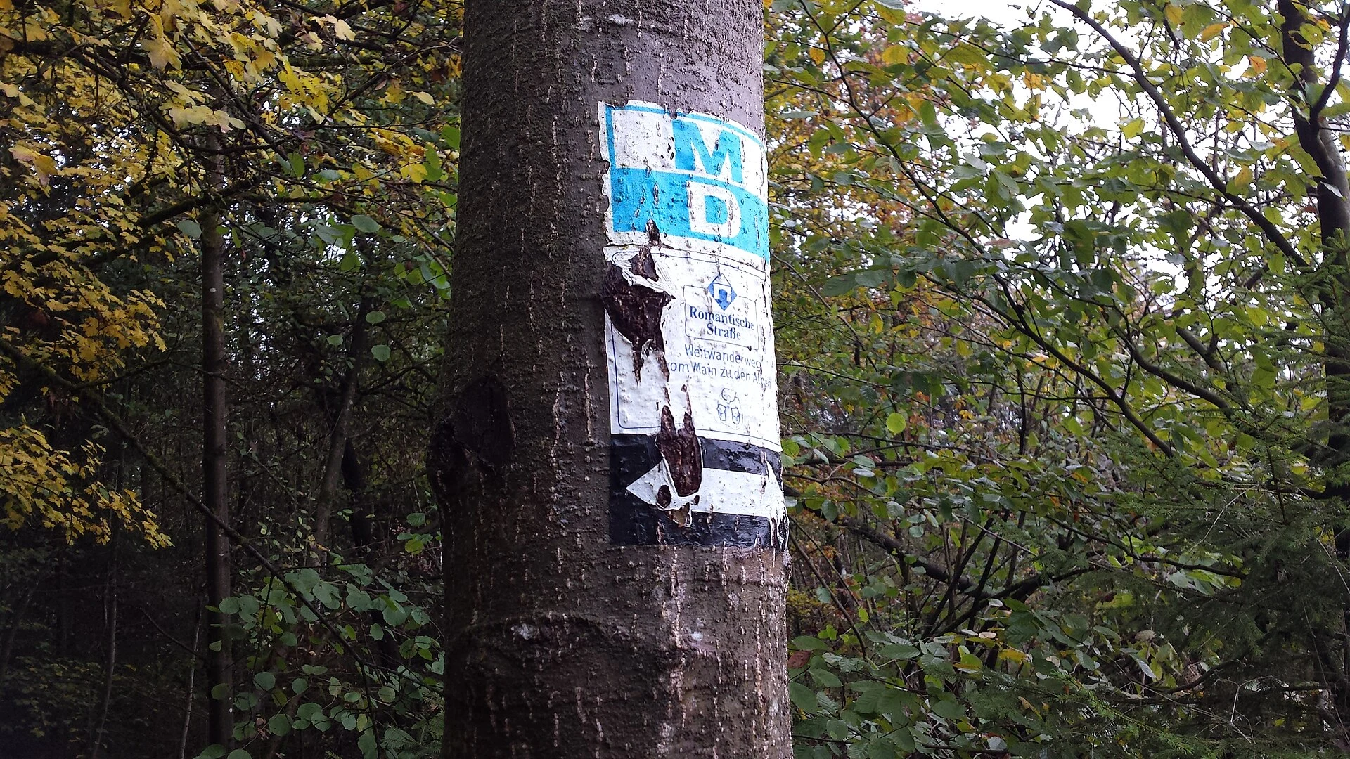
Check the map and direction at junctions. Waymarks help, but may be missing, and colours and meanings vary between trail networks and countries. Confirm that a marker belongs to your route and do not take shortcuts to correct a mistake. At road crossings, use designated crossings, ensure good visibility and obey local rules; do not assume the group has priority.
Correctly adjusted trekking poles may help balance, but cannot make an exposed section safe or replace technique. Leave room around other walkers and keep the tips away from them. Adapt your footing to wet surfaces, roots and loose stones.
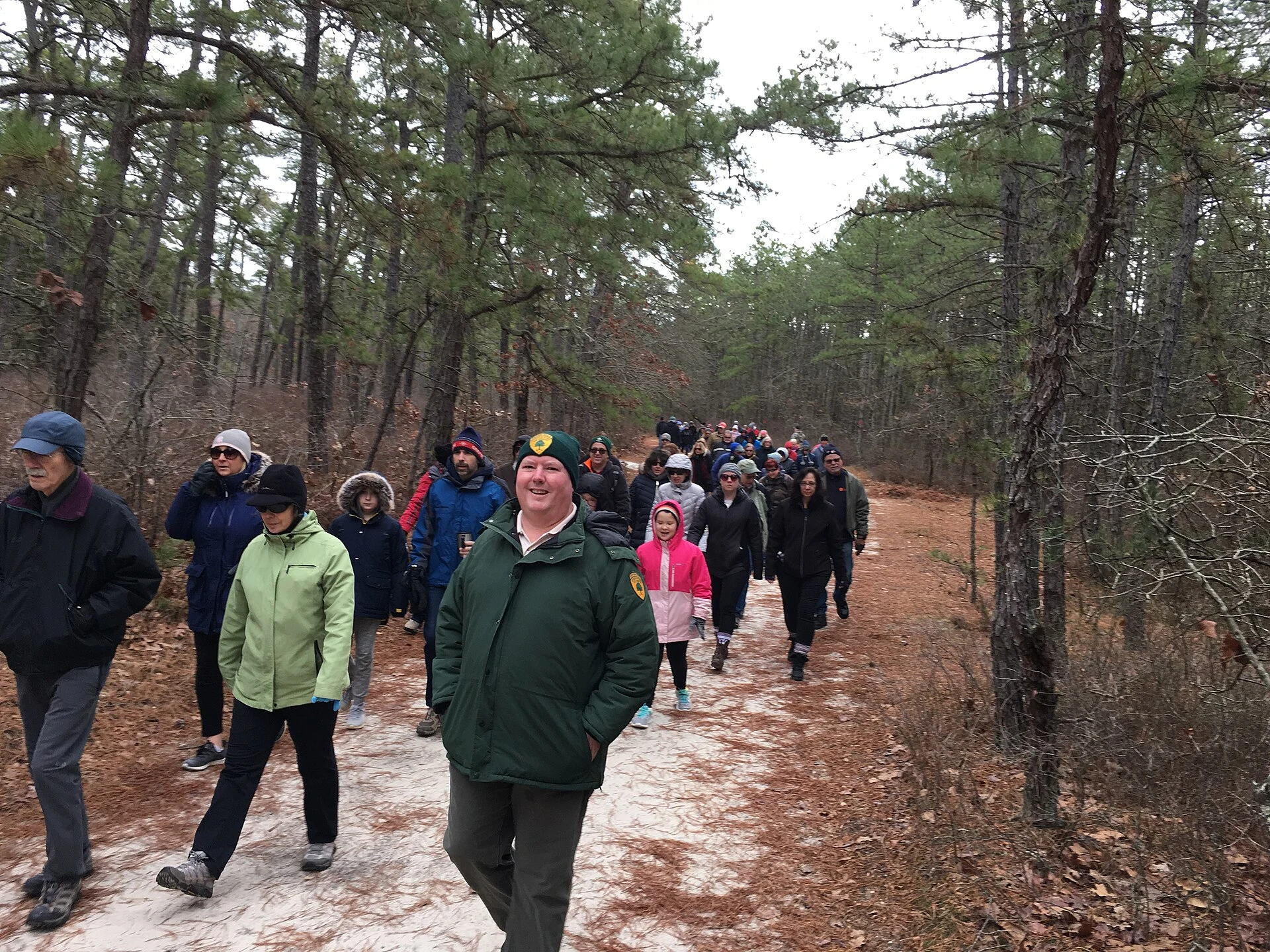
For a club outing, identify who navigates at the front and who brings up the rear. Regroup at junctions and before changes of direction, check everyone is present and never leave someone alone because they walk more slowly. Everyone should know about decisions to shorten the walk or return. Split by pace only under an agreed arrangement that preserves safe accompaniment and communication.
Respond to an accident or a navigation problem
If you do not know where you are, stop somewhere safe, gather the group and check the map, last known position and route. Do not keep trying unfamiliar paths or descend an unknown slope to look for a road. Retrace your steps only if you can identify a safe route with certainty. If you cannot resolve the situation safely, seek help before daylight or battery power runs out.
After an accident, avoid creating another casualty, protect the group and call for help. Do not move an injured person unless there is immediate danger, and provide only first aid you know, following the call handler’s instructions. In Spain and throughout the European Union, 112 is a free emergency number. Elsewhere, confirm the local number before travelling rather than assuming 112 works the same way everywhere.
Explain what happened, how many people need help, their condition and your phone number. Give coordinates with their format, plus landmarks, the route name, last junction and weather conditions. Practise finding your location on your phone beforehand. A 112 call still needs an available network: it does not create coverage where none exists. Follow instructions about location, battery and waiting; do not move without telling rescuers unless staying is dangerous. If a helicopter arrives, wait for the crew’s instructions and do not approach on your own initiative.
Respect trails, wildlife and livestock
Stay on authorised routes and respect closures even when a section looks easy. Avoid cutting corners or widening trails to dodge mud. Take all rubbish home, including food scraps, tissues and packaging. Use toilets where available and check local hygiene rules; do not contaminate water or leave hygiene products outdoors.
Watch wildlife from a distance without feeding or chasing it. Give livestock space, do not walk through a herd and leave gates as you find them, following the landowner’s instructions. Check dog restrictions and maintain the required control. Keep noise down, allow others to pass without damaging vegetation and respect people who live or work nearby. A day hike should leave no permanent trace.
Use reliable sources before every outing
Consult the current land-manager route page for access, closures and drinking water; the hiking or mountaineering federation for difficulty and preparation; the official weather service for forecasts and warnings; and local emergency services for procedures. The references below include verifiable guidance from Montaña Segura, AEMET, Spain’s Guardia Civil, the European Commission and the National Park Service, alongside official heat-health information.
The evening before, review the route, timings, alternatives, forecast, equipment and return-contact arrangement. Check anything that could have changed again before setting off. Save essential information offline: an old route description or another group’s experience cannot certify today’s conditions. For more on personal medication and first-aid preparation, see Preparing your health for a long trip.
Sources and references
Hide references
11 references
References consulted during editorial review. Times, requirements and advisories may change: always confirm with the official source.