Alta Via dei Monti Liguri: stages and route planning
Plan the Alta Via dei Monti Liguri with official sources on stages, parks, access, waymarks, mountain weather, water and safety.
Conditions described in the guide: confirm current requirements and access with the official source before travelling.
What the Alta Via is and how long it is
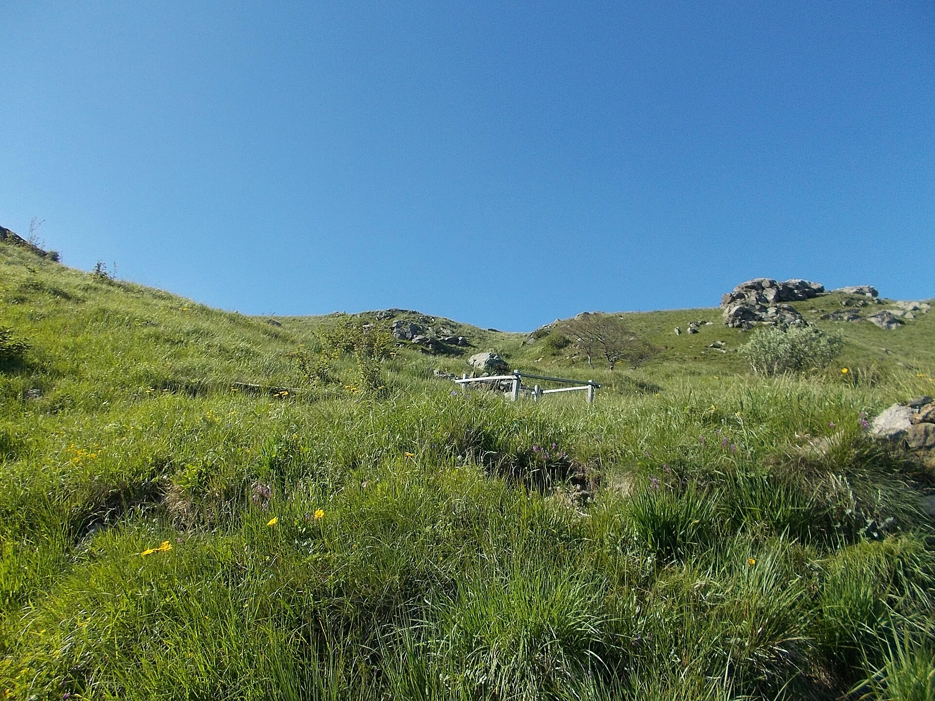
The Alta Via dei Monti Liguri, also known as AV or AVML, links Ventimiglia in the west with Ceparana in the east. Much of it follows the watershed between the Ligurian and Po-facing slopes, alternating ridges, passes and woodland. It is not a continuous coastal promenade, nor does it always follow the highest possible ground.
For orientation, the regional tourism portal La Mia Liguria gives 422 km, while Regione Liguria’s environmental overview rounds the length to about 400 km. The Parks.it stage catalogue consulted and the regional tourism description present 43 stages; the maps linked by Regione Liguria also run through stage 43. These figures describe a crossing of more than 400 km rather than the exact length of every combination of variants and access paths.
Choose one catalogue and check its endpoints and route line. If another publication uses different figures or stage numbers, compare start and finish locations before joining sections. Walking from a station, descending to accommodation and returning to the main trail all add distance and elevation change to the advertised total.
Read a stage description before planning a day
Stages are descriptive units, not compulsory daily distances for every walker. Find the full names of the start and finish, the map and the direction of travel. Record distance, cumulative ascent and descent, elevations, time, grade, terrain and escape options. If a page simply gives an elevation difference, check what it measures before treating it as the total climbing effort.
The catalogue uses grades including T, E and EE: Turistico, Escursionistico and Escursionisti Esperti. They are not interchangeable, and a grade for snow-free terrain does not automatically describe winter conditions. Read the account of exposed sections and variants as well as the letter grade.
For example, the Beigua park page for Pratorotondo — Passo del Faiallo lists E and about 2 hours 30 minutes. That does not automatically include reaching the trail from the coast, breaks, the return or a detour to accommodation. Adapt timings to the group and leave daylight in reserve. Combining apparently short stages without these additions can create an excessively demanding day.
Landscapes and parks between Alps and Apennines
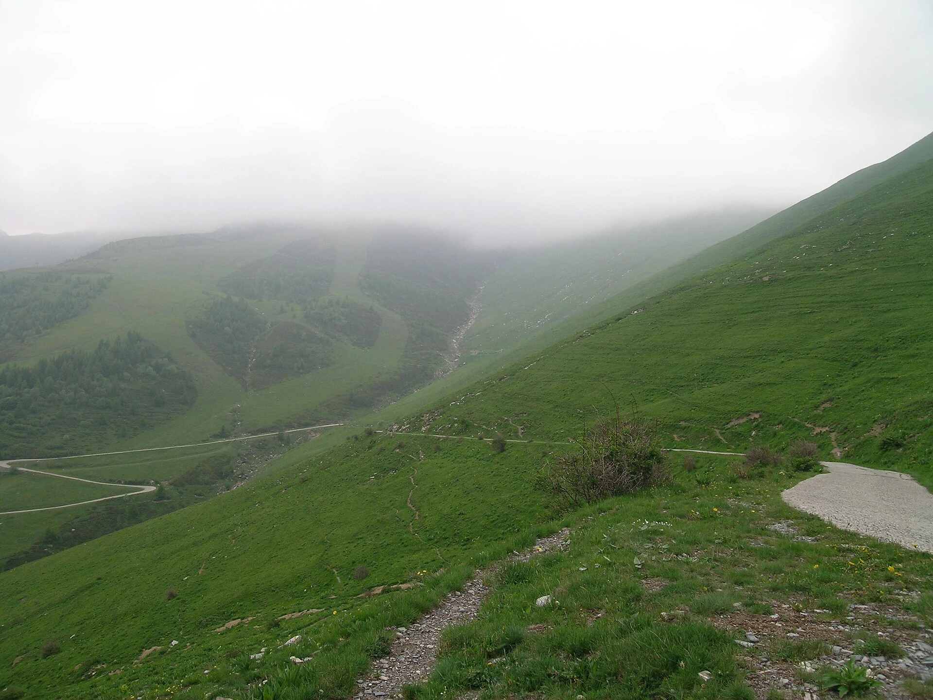
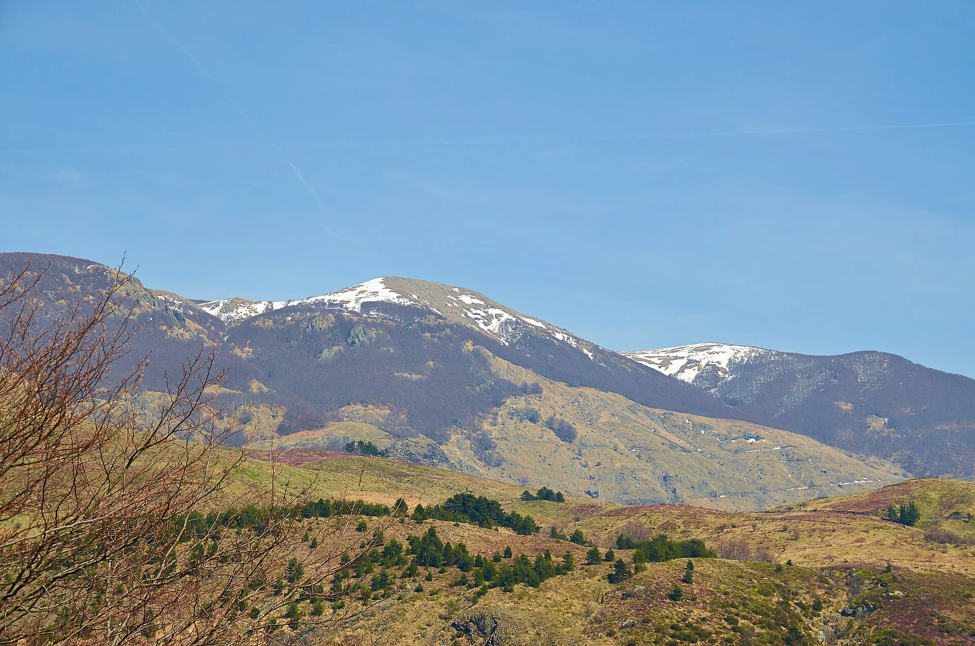
The western sector introduces the Ligurian Alps and mountain landscapes around Toraggio, Pietravecchia and Saccarello. Further east, passes, woodland and pasture alternate across inland Liguria. In Beigua, the nearby sea and open watershed create one of the route’s characteristic settings. The Aveto sector adds forests and the terrain around Monte Aiona and other Apennine mountains.
Regione Liguria specifically identifies the Alpi Liguri, Beigua and Aveto regional parks and the Adelasia reserve in its route overview. Parks.it also relates other protected areas to the corridor and its surroundings, including Antola and Montemarcello Magra Vara. This is not a promise that every itinerary crosses the centre of every park: check boundaries and the section chosen. Ceparana is the main route’s stated eastern endpoint.
Sea views depend on direction and visibility, and alternate with long wooded or inland stretches. A nearby summit, lake or viewpoint may require a variant. Check whether it is part of your plan and add its demands rather than assuming it is an automatic stop.
Choose a section for one day or several
For an introduction, choose a recently documented section within your abilities, with both access and return arranged. Pratorotondo — Passo del Faiallo provides a Beigua section to investigate, but it is linear: without a confirmed connection you must arrange the return or choose an out-and-back suitable for your group. Two endpoints beside roads do not by themselves solve the logistics.
In Aveto, Passo delle Lame — Passo della Spingarda offers another concrete example: the park lists E and about 2 hours 45 minutes, with warnings about snow and navigation in poor weather. Consider those conditions rather than treating it as a universal beginner recommendation.
For several days, link only stages with confirmed support and keep an alternative exit. Account for pack weight, descents and the person who needs the slowest pace. Spring and autumn do not guarantee freedom from snow, rain or wind; summer requires heat and water planning, while winter brings snow, ice and shorter days. Choose by conditions and ability, not just the month. Clubs should agree leaders, pace, regrouping and cancellation criteria beforehand.
Reach the route from the coast by public transport
The coastal railway helps with the journey but does not follow the ridge. Ventimiglia, Savona, Genova and La Spezia are regional rail reference points; from these or other stations you still need an inland connection and a walking approach. Aveto park identifies Chiavari or Lavagna as rail gateways and refers visitors to bus connections. This does not guarantee a direct service to every pass.
Consult official regional mobility information, the transport operator and the park’s access page. Check the exact stop, operating date, weekday and holiday differences, possible school-day or seasonal services and the last return departure. Clubs should also confirm capacity and group travel arrangements. Save the timetable offline and plan for a missed final connection.
A road-accessible pass does not imply a bus stop, and a line on a map does not prove a service runs that day. At Ceparana, explicitly check the onward connection to the rail network. Visitor centres, tourist offices and local CAI sections can help verify access and support points, but service confirmation for your date remains essential.
Recognise waymarks and prepare navigation
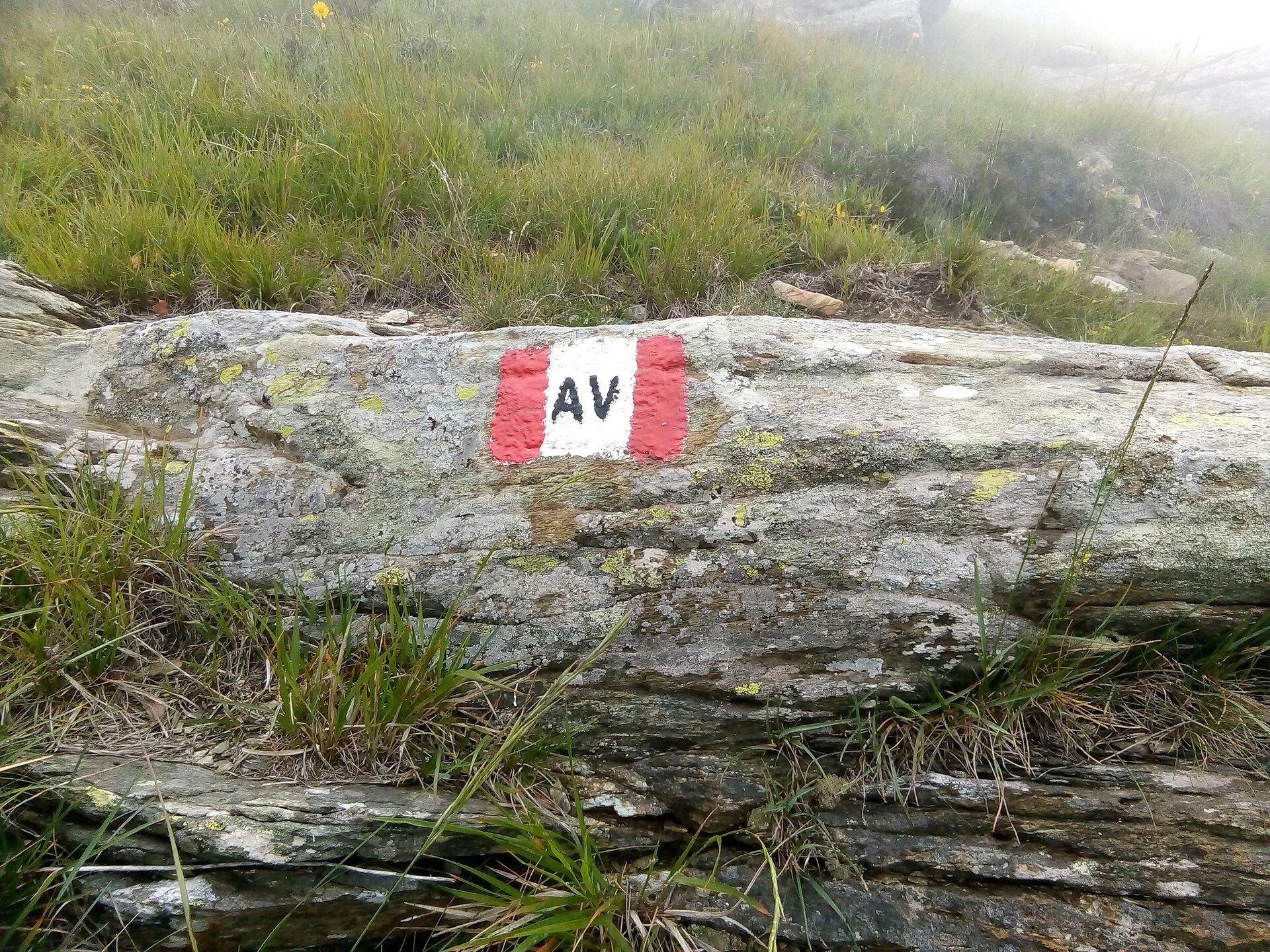
The characteristic mark is red-white-red with AV in the white band. It may appear as painted marks and junction signs. Where several paths meet, confirm that the direction and destination match your stage: following any red-and-white mark can take you onto another trail.
Carry current mapping, the track for your chosen version and navigation tools you can use. Download map and route and test them without mobile data. Note passes, key junctions, escape routes and location references. Neither a GPX file nor a waymark guarantees an open, usable path; compare them with current notices and conditions on the ground.
If marks disappear or your position does not make sense, stop somewhere safe and review the last certain reference. Do not descend an unknown slope in search of a supposed connection. Regroup before changes of direction and avoid leaving isolated walkers because of different speeds.
Mountain weather close to the sea
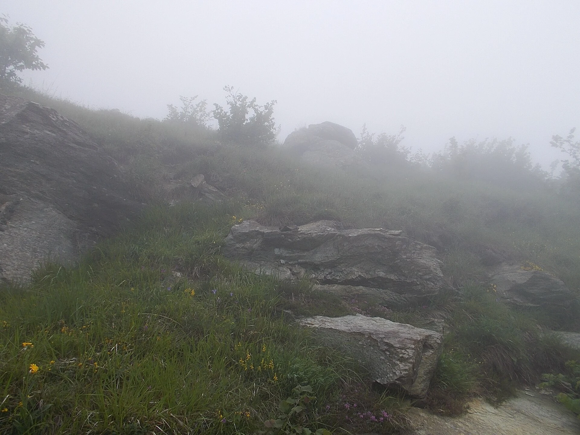
Use ARPAL for regional forecasts and AllertaLiguria for official weather and civil-protection warnings. Read the area, elevation, validity period and hazard: conditions in a coastal town do not necessarily represent the watershed. Check wind, fog, thunderstorms, rain, temperature and, where relevant, snow and ice. Sunshine by the sea does not establish clear conditions on the ridge.
Aveto has a specific navigation warning: the park’s Passo delle Lame — Passo della Spingarda page describes sudden fog and a magnetic anomaly in the Aiona area affecting compass use. Do not rely on that instrument as your sole reference there. Prepare with park information and avoid entering the sector when poor visibility prevents you from navigating safely.
Cancel or shorten the walk if wind threatens balance, thunderstorms are forecast on exposed ground, snow or ice exceed your preparation, or fog prevents safe navigation. Decide alternatives and a turnaround time before entering difficult terrain. Warnings and closure orders take precedence over the itinerary; the absence of an alert does not guarantee safe walking.
Check water, huts and accommodation
Build each day around confirmed drinking water and a workable stopping point. A mapped spring can be seasonal, dry or unsafe to drink. Ask about its recent condition and carry water for the walk, approach and possible delays. Requirements depend on effort, heat and individual needs; change the section if reliable supply is not possible.
Confirm opening dates and days, staffing, reservations, water, meals and access with each support point. A mountain hut does not necessarily mean staffed accommodation or an unlocked door. Emergency spaces and winter rooms have their own rules and must not be assumed available. Check the descent from the Alta Via and the next day’s climb back: sleeping away from the route may add substantial effort.
Use park, CAI and Parks.it directories to find information, then confirm the service directly rather than relying on an old review. Carry reserve food and equipment for an unexpected wait. Camping and bivouacking are governed by local rules; do not assume either is permitted if a booking falls through.
Safety, emergencies and respect for the environment
Leave a written route, participant list, alternatives and return time with someone staying behind. Carry familiar footwear, clothing layers, rain, wind and sun protection, a headlamp, first-aid kit and charged phone with reserve power. Set the pace for the whole group and never leave a slower walker alone.
In an emergency in Italy, call 112. Explain what happened, how many people need help, their condition, your phone number and your location: coordinates with their format, stage, last pass or junction and visible landmarks. A call still needs an available network; 112 does not create coverage where none exists. Avoid a second accident, provide only first aid you know and follow the call handler’s instructions. Do not move an injured person unless there is immediate danger or approach a helicopter without the crew’s directions.
Respect closures and authorised trails, avoid erosion-causing shortcuts and remove all rubbish. Give wildlife and livestock space, follow local instructions for gates and check dog rules. Do not light fires or assume camping permission. In protected areas, check the manager’s rules for groups and organised activities, as well as notices about works or trail damage.
Official sources and a final check
Use Regione Liguria for the route framework and maps, La Mia Liguria for regional tourism information and links, and CAI Liguria and its sections for hiking information. Parks provide section descriptions, access details and notices. Parks.it brings together stages and material published by managing authorities. ARPAL and AllertaLiguria serve different purposes: forecasts and warnings need to be read together.
Before finalising the plan, verify route version, each stage’s endpoints, difficulty, access and return, water, accommodation, weather and alternatives. The references below lead back to those sources; a general description cannot certify that the whole trail is open today. For the equipment checklist and group organisation, see How to prepare for a day hike.
Sources and references
Hide references
14 references
References consulted during editorial review. Times, requirements and advisories may change: always confirm with the official source.