A first look at the country, its capital, and basic data
Republic of the Congo – Brazzaville and Key Reference Points
The Republic of the Congo is located in Central Africa with an Atlantic coastline. Brazzaville, its languages, and the Central African CFA franc offer a starting point; however, the available information is insufficient for planning specific services or visits.
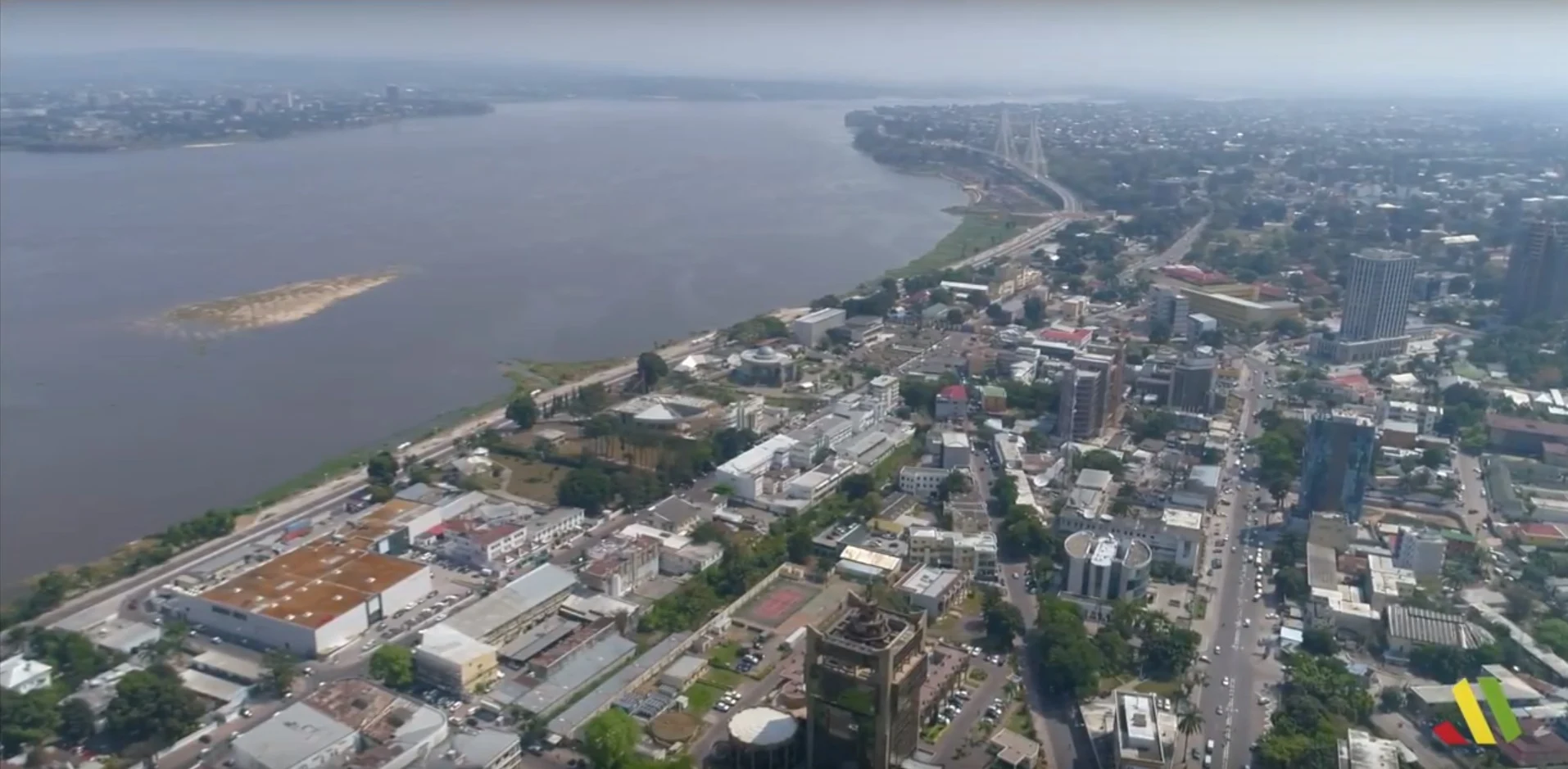
The Republic of the Congo is situated in Central Africa, within the Central African subregion, and is not a landlocked country. Its capital is Brazzaville; French, Kikongo, and Lingala are among the country's languages, and the registered currency is the Central African CFA franc. These references help locate the country and prepare questions, but they are not enough to decide on routes, transport, or visits: those details require up-to-date verification before organizing the trip.
First, distinguish the country from the Democratic Republic of the Congo
The name Republic of the Congo can be confused with the Democratic Republic of the Congo, which is a different country. To find practical information, it is advisable to use the full name and ensure that the data corresponds to the capital Brazzaville and the country code CG. This basic precision reduces the risk of mixing maps, requirements, or services from different destinations. The evidence available here identifies the Republic of the Congo as a Central African country; it does not, however, provide information to compare both countries or to determine current travel conditions. Verify the exact destination in each query before booking or making decisions.
Brazzaville as an initial reference
Brazzaville is the capital and a clear geographical reference point to start locating the country. Available data places it approximately at 4.27° South and 15.28° East; it also records a population close to 1.98 million, although the year of this figure is not provided. This data serves as context, not as a current measure of size or an indication of services for visitors. The supplied information does not describe neighborhoods, monuments, museums, accommodations, or internal connections, so it is not advisable to turn the capital's name into an assumed itinerary. To organize a stay there, look for recent and specific sources on Brazzaville.
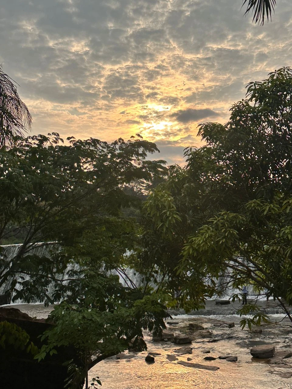
Central Africa and an Atlantic coastline
The Republic of the Congo belongs to Africa and the Central African subregion; its territory is not completely surrounded by land, so it is not a landlocked country. These references help locate it on a regional scale and avoid confusion with destinations of similar names. However, the available profile does not provide detailed information on borders, distances, roads, ports, landscapes, or journey durations. It also does not allow inferring which areas are accessible or suitable for a visit. Take the geography as a general orientation, not as a substitute for updated maps or a check of the specific conditions of the route you are interested in.
Languages: what you can prepare before leaving
French, Kikongo, and Lingala appear as languages of the country. This is useful data to anticipate that communication needs may vary depending on the place and situation, but the available information does not specify where each language is spoken, its reach, or which languages are used in tourist services. Do not assume that a single language will resolve all interactions. If you need to communicate for practical reasons, prepare basic vocabulary in advance and confirm with your accommodation or reliable local sources which language is useful for your planned activities. The presence of these languages is a contextual fact, not a guarantee of the attention available.
Currency and limits of economic information
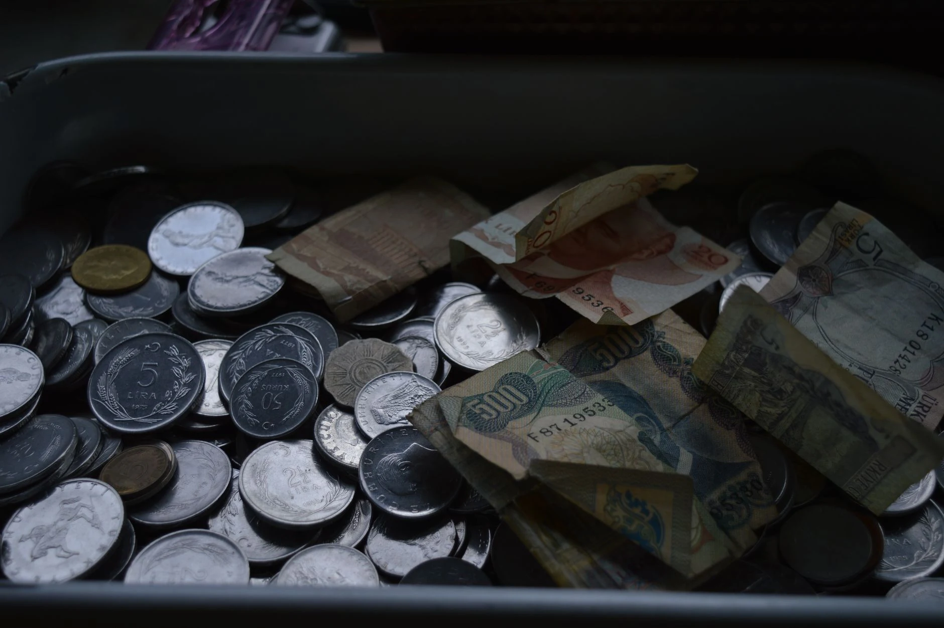
The recorded currency is the Central African CFA franc, with the symbol Fr and the code XAF. This reference serves to recognize the currency mentioned in financial information or a quote, but it does not allow knowing the current exchange rate, accepted payment methods, or cash availability. There are also no data on prices, transport costs, or travel budgets in the supplied evidence. Before leaving, check the exchange rate and payment options with updated financial sources and the specific providers you will use. Treat XAF as a reference to prepare these checks, not as an estimate of the cost of the stay.
What to check before turning the map into a plan
The available information sets a brief base: a Central African country, capital in Brazzaville, Atlantic coastline, three registered languages, and currency XAF. It does not offer data on flights, local transport, accommodations, tickets, schedules, visas, security, accessibility, or opening seasons. Therefore, responsible planning starts by identifying what you need to resolve and consulting current sources for each matter. Check entry conditions, connections, services, and any specific visit separately; the evidence gathered here does not allow asserting what they are. Do not extrapolate from the location, the name of a city, or the currency to practical details that are not documented.
References consulted during editorial review. Times, requirements and advisories may change: always confirm with the official source.
- Congo WikidataCC0 1.0 Wikidata · Q971
- Congo WikidataCC0 1.0 Wikidata · Q3503
- Congo WikidataCC0 1.0 Wikidata · Q37027768
- Congo WikidataCC0 1.0 Wikidata · Q2009615
- Congo World Countries — mledozeODbL 1.0 World countries dataset by mledoze and contributors · ODbL 1.0
- Brazzaville GeoNamesDatos geográficos bajo CC BY 4.0; requiere atribución a GeoNames. Fuente: GeoNames
- Brazzaville GeoNamesDatos geográficos bajo CC BY 4.0; requiere atribución a GeoNames. Fuente: GeoNames
- Congo, Rep. World Bank Open DataCC BY 4.0 World Bank
- Sostenibilidad de la pesca artesanal en la comunidad rural de Río Congo, Darién OpenAlexCC0 1.0 OpenAlex
- Agenda bilateral de política exterior Ecuador- República del Congo OpenAlexCC0 1.0 OpenAlex