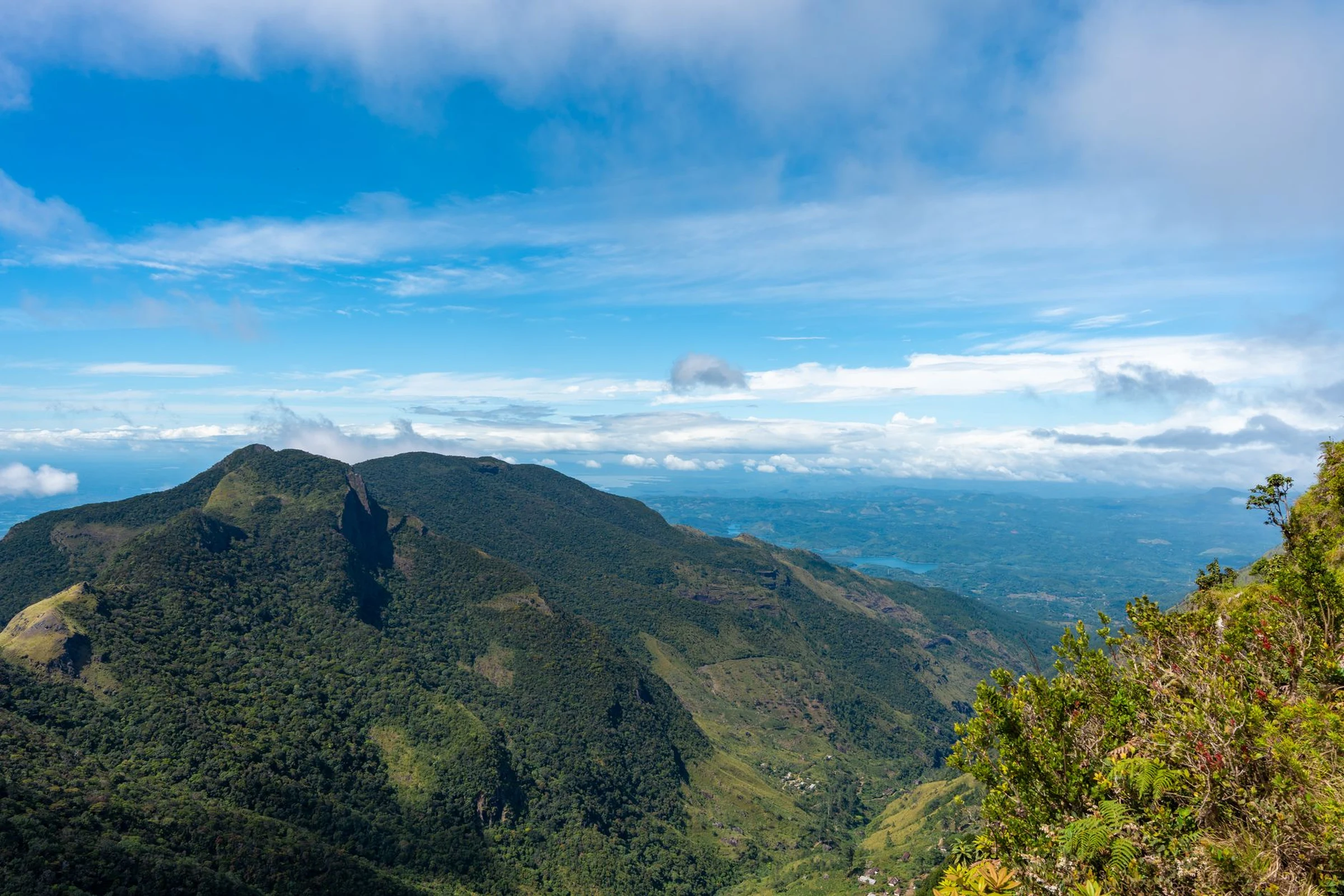
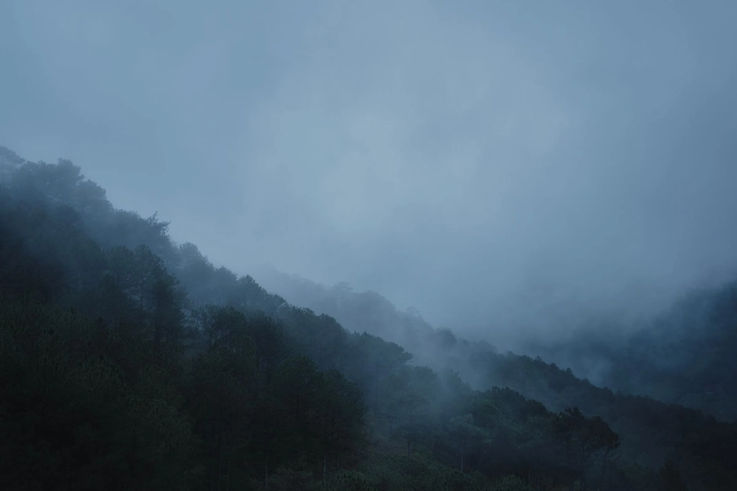
Choosing a Region in Slovenia Based on the Landscape You Seek
The Adriatic coast, the Karst caves, the Julian Alps, and the eastern river valleys shape distinct journeys. Compare regions and verify connections before finalizing your itinerary.
Coast and Karst: Brief Shoreline and Caves
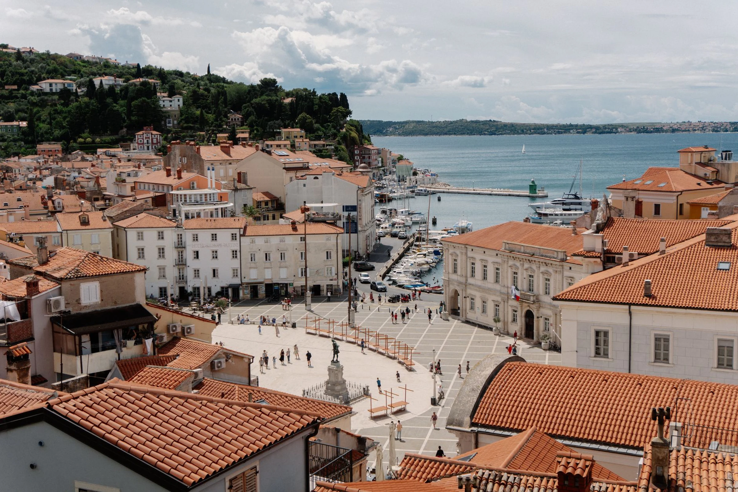
The southwest combines hills, caves, and the country's 47 kilometers of coastline. Koper and Piran are key urban references on the coast: Koper is the largest city on the Slovenian coast, while Piran is a port town with Venetian influences. In the regional interior, the Škocjan Caves offer a distinct landscape. Coast and Karst can be considered the same geographical zone, but check travel times and visiting conditions separately before linking these locations.
Julian Alps: Mountains, Lakes, and Activities
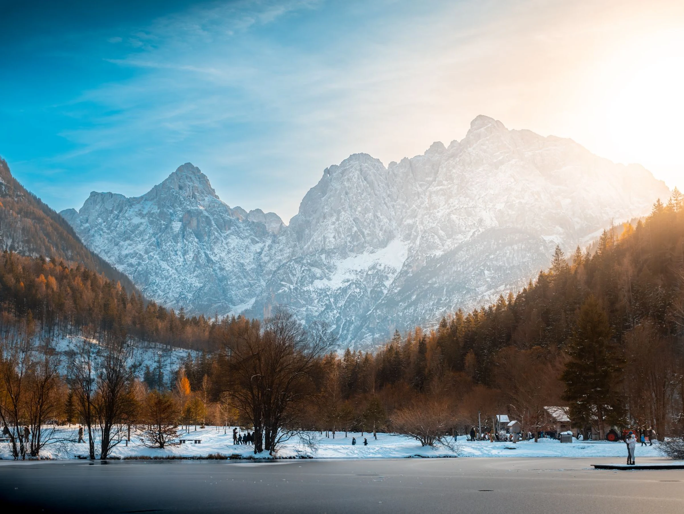
The northwest is defined by the Julian Alps, a mountainous region associated with lakes, hiking, rafting, and Mount Triglav, described as the symbolic heart of Slovenia. This profile helps distinguish a mountain trip from one focused on the coast or cities. However, it is not enough to assess the difficulty of a route, terrain conditions, or current access: verify these details for each activity and location.
Ljubljana and the Central Surroundings
Ljubljana is the capital and the main urban reference for the central region, which extends toward the Kamnik Alps to the north. It is important to distinguish the geographical name of the region from an administrative division: Central Slovenia is a statistical region, not a level of government between the state and municipalities. The capital orients the map, but available information does not document specific connections for exploring from it.
East and Southeast: Rivers and Cities
The east is organized around the Drava and Mura rivers. Further northeast, Prekmurje is characterized by the Goričko hills, the Mura River, and geothermal features; Maribor and Ptuj are two urban references in the area. The regional panorama also mentions vineyards and a Hungarian influence in the east. In the southeast, the geographical framework is centered on the Krka and lower Sava rivers, with Novo Mesto among its cities. These regions expand options beyond the capital, but available evidence does not allow for comparing routes or transport.
From Map to Verifiable Plan
Start by choosing the contrast that interests you: coast and caves, mountains and lakes, city and central surroundings, or rivers and eastern towns. Then verify connections, schedules, and visiting conditions with updated sources; the regional description does not resolve these practical details. Grouping locations by zone can help organize the plan, but confirm how demanding each link is before closing the itinerary. To decide on a specific visit to Škocjan Caves, also consult the guide for Škocjan.
Sources and references
Hide references
11 references
References consulted during editorial review. Times, requirements and advisories may change: always confirm with the official source.
-
Central SloveniaLicence: CC BY-SA 4.0 Wikivoyage contributors · Central Slovenia
-
Eastern SloveniaLicence: CC BY-SA 4.0 Wikivoyage contributors · Eastern Slovenia
-
SloveniaLicence: CC BY-SA 4.0 Wikivoyage contributors · Slovenia
-
Southeastern SloveniaLicence: CC BY-SA 4.0 Wikivoyage contributors · Southeastern Slovenia
-
Croacia - WikiviajesLicence: CC BY-SA 4.0 Wikivoyage contributors · Croacia - Wikiviajes
-
Eslovenia - WikiviajesLicence: CC BY-SA 4.0 Wikivoyage contributors · Eslovenia - Wikiviajes
-
Hungría - WikiviajesLicence: CC BY-SA 4.0 Wikivoyage contributors · Hungría - Wikiviajes
-
LjubljanaLicence: Datos geográficos bajo CC BY 4.0; requiere atribución a GeoNames. Fuente: GeoNames
-
LjubljanaLicence: Datos geográficos bajo CC BY 4.0; requiere atribución a GeoNames. Fuente: GeoNames