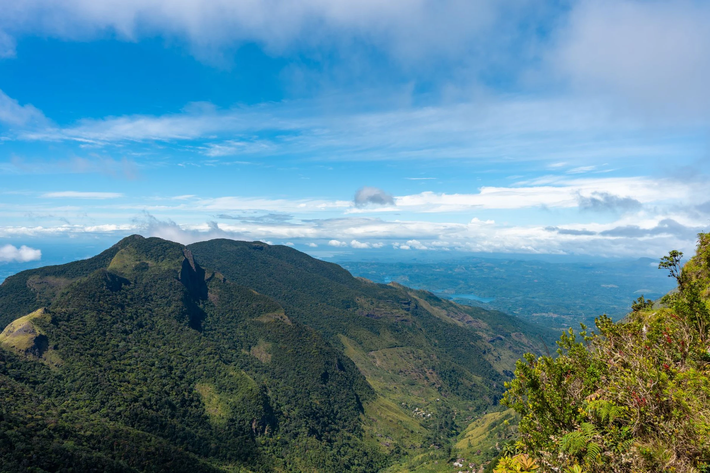
Choosing Between the Coast, the Historic Northeast, and the Sahara in Algeria
The Mediterranean coast, the northern mountains, and the vast Sahara describe very different journeys. This guide helps you select a primary focus and highlights the connections and conditions to verify before turning it into an itinerary.
A documented soundscape that complements this guide to Algeria. The Mediterranean coast, the northern mountains, and the vast Sahara describe very different journeys. This guide helps you select a primary focus and highlights the connections and conditions to verify before turning it into an itinerary.
Audio by Gunster, Frederick; Stevenson, Elise; MacDonough, Glen; Bieling, John H. · loc_national_jukebox · Public Domain · Duration: 04:25
The North: Coast, Cities, and Ancient Heritage
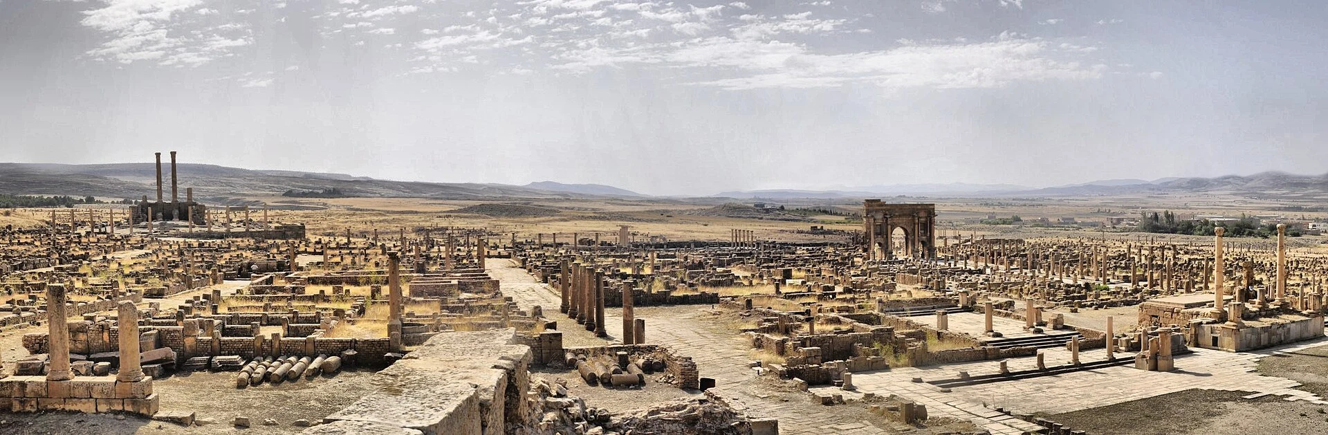
The central zone revolves around Algiers and extends into Mediterranean areas such as Béjaïa and Tipasa. In the northeast, the landscape shifts toward mountains and high plateaus; this is where Constantine and the Roman ruins of Timgad and Djémila are located. This combination allows for a trip centered on cities and archaeological heritage, but it should not be mistaken for a simple circuit: available information does not establish specific times, links, or current conditions between stops. Check transport and access for each location separately.
The Sahara: Distances and Different Bases
The south is not a single, compact destination. Tamanrasset is one of the main gateways to the Saharan region; Ghardaïa and Timimoun offer oasis references, and the Hoggar and Tassili n’Ajjer are among the highlighted landscapes. The M’Zab Valley adds a distinct architectural dimension. To choose, define whether you are more interested in oases, mountains, or the desert, and verify connections and visiting conditions for each area in advance. Do not assume that one base allows easy access to the others.
Choose the Focus Before Combining Regions
Prudent planning begins with a priority: the coastal and northern cities, the ancient sites of the northeast, or a specific Saharan zone. The country's immense extent means that combining distant points requires verifying real connections, not just measuring them on a map. The consulted material mentions trains in the northeast from Algiers and other cities, but this reference does not confirm current schedules; consult the railway operator before counting on this service. Also, review the most recent official and local information on access and security separately, particularly for remote travel.
Useful Preparation Without False Certainties
Arabic is listed as a language in the consulted data, and the currency is the Algerian dinar. These are starting references, not a complete description of the languages used in each region or a payment guide. Before traveling, confirm entry requirements, transport options, availability of services, and any local conditions that may affect your route. To contextualize the country and its capital, you can consult the geographic references for Algeria; for the trip itself, cross-check every variable data point with current sources.
Sources and references
Hide references
14 references
References consulted during editorial review. Times, requirements and advisories may change: always confirm with the official source.
-
AlgeriaLicence: CC BY-SA 4.0 Wikivoyage contributors · Algeria
-
Central AlgeriaLicence: CC BY-SA 4.0 Wikivoyage contributors · Central Algeria
-
Northeast AlgeriaLicence: CC BY-SA 4.0 Wikivoyage contributors · Northeast Algeria
-
Saharan AlgeriaLicence: CC BY-SA 4.0 Wikivoyage contributors · Saharan Algeria
-
Túnez - WikiviajesLicence: CC BY-SA 4.0 Wikivoyage contributors · Túnez - Wikiviajes
-
Argelia - WikiviajesLicence: CC BY-SA 4.0 Wikivoyage contributors · Argelia - Wikiviajes
-
Sahara Occidental - WikiviajesLicence: CC BY-SA 4.0 Wikivoyage contributors · Sahara Occidental - Wikiviajes
-
TamanrassetLicence: CC BY-SA 4.0 Fuente: Wikivoyage
-
ArgeliaLicence: CC BY-SA 3.0 DBpedia
-
Algeria national rugby union teamLicence: CC BY-SA 3.0 DBpedia