Federated States of Micronesia: Four States and One Ocean
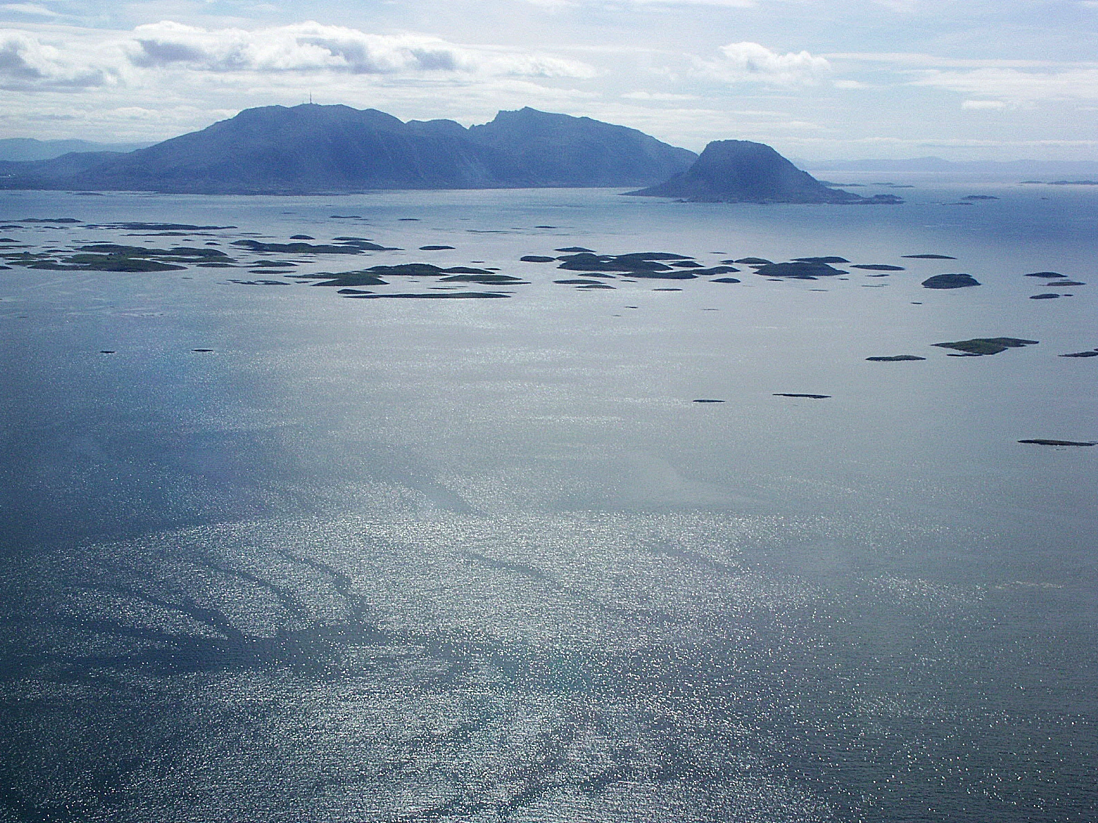
The country comprises four widely dispersed island states. Understanding the scale helps you identify each island’s priorities and check connections carefully before planning a route.

Four states, four reference points
From west to east, the country is made up of Yap, Chuuk, Pohnpei and Kosrae. These are not neighbourhoods on one island: they are island states separated by long stretches of the Pacific. The federal capital, Palikir, is on Pohnpei. It helps locate the country’s seat of government, but does not represent the other islands or serve as a national itinerary.
This distinction helps narrow your research: first decide which state or island interests you, then check how to get there. If your route covers several areas, verify each connection separately.
A map of high islands and atolls
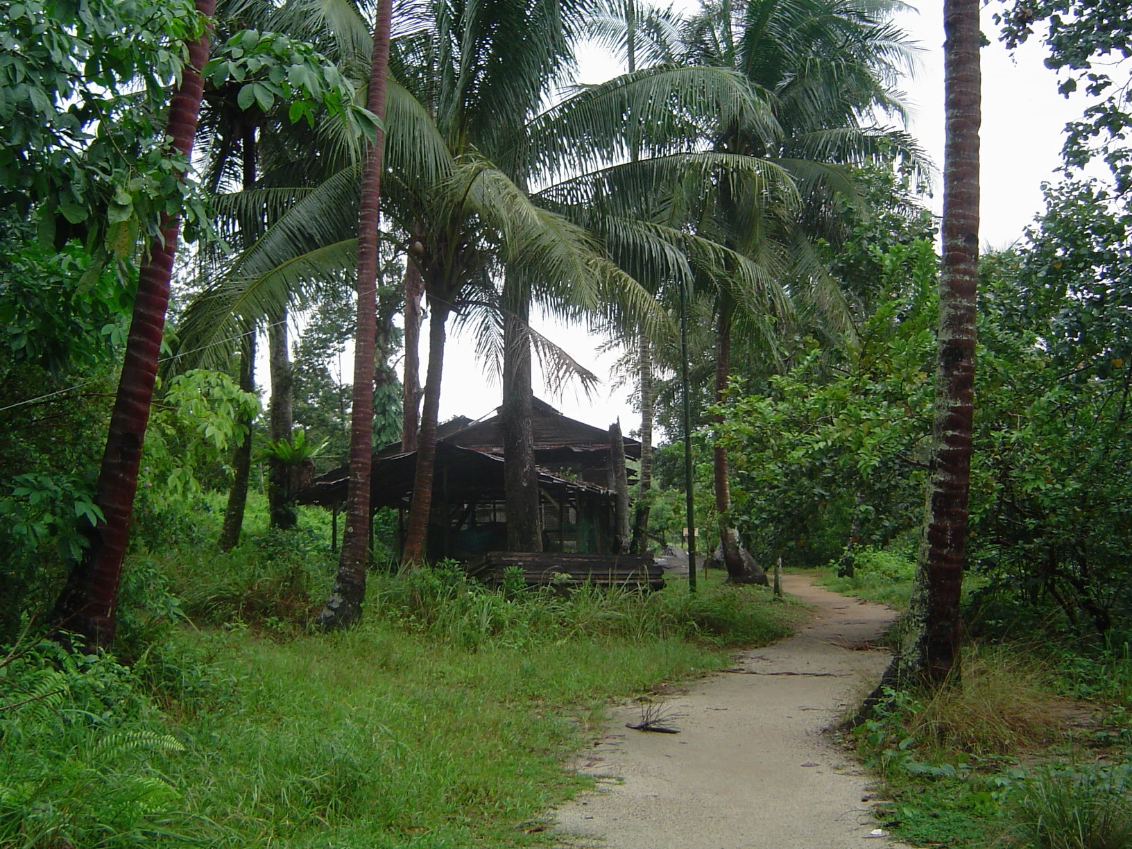
The terrain varies from island to island. The archipelago combines mountainous islands with low coral atolls, and volcanic outcrops occur in Pohnpei, Kosrae and Chuuk. Land covers a small area compared with the maritime zone, which exceeds 2.6 million km².
A map can therefore make the country look compact even though travelling between places is not. Treat each destination as a separate stop rather than assuming that visual proximity means an easy transfer.
Traditional navigation is part of the cultural context
Navigation by reading natural signs, using traditional vessels, has been practised in the Caroline Islands. The source consulted describes this knowledge as a tradition that remains active on a limited scale in Micronesia; it is not automatically a tourist activity or a promised demonstration for visitors.
Approaching these practices respectfully means not turning community knowledge into a spectacle. Before seeking an experience, confirm whether an activity is open to the public and who organises it.
What to check before committing to a route
Connections, services and entry conditions can change, and the available information is not enough to establish a complete itinerary or confirm current schedules. Before buying a ticket, check service days, stops, baggage conditions and any current requirements with official sources or the relevant operator.
The tropical climate and frequent rainfall are also part of the country’s context. The source consulted notes that typhoons are possible between June and December. Do not treat this as a forecast for specific dates: check current weather advisories and service status before travelling.
Sources and references
Hide references
14 references
References consulted during editorial review. Times, requirements and advisories may change: always confirm with the official source.
-
Federated States of MicronesiaLicence: CC BY-SA 4.0 Wikivoyage contributors · Federated States of Micronesia
-
MicronesiaLicence: CC BY-SA 4.0 Wikivoyage contributors · Micronesia
-
Micronesia (disambiguation)Licence: CC BY-SA 4.0 Wikivoyage contributors · Micronesia (disambiguation)
-
Guam - WikiviajesLicence: CC BY-SA 4.0 Wikivoyage contributors · Guam - Wikiviajes
-
Estados Federados de Micronesia - WikiviajesLicence: CC BY-SA 4.0 Wikivoyage contributors · Estados Federados de Micronesia - Wikiviajes
-
Micronesia - WikiviajesLicence: CC BY-SA 4.0 Wikivoyage contributors · Micronesia - Wikiviajes
-
Palaos - WikiviajesLicence: CC BY-SA 4.0 Wikivoyage contributors · Palaos - Wikiviajes
-
KiribatiLicence: CC BY-SA 4.0 Fuente: Wikivoyage
-
MicronesiaLicence: CC0 1.0 Wikidata · Q3359409
-
MicronesiaLicence: ODbL 1.0 World countries dataset by mledoze and contributors · ODbL 1.0
-
PalikirLicence: Datos geográficos bajo CC BY 4.0; requiere atribución a GeoNames. Fuente: GeoNames
-
Federated States of MicronesiaLicence: CC BY-SA 3.0 DBpedia
-
MicronesiaLicence: CC BY-SA 3.0 DBpedia