Fiji: Choosing an Island by Landscape, Activities, and Connections
The archipelago comprises islands with distinct profiles. Understanding the locations of Suva, Viti Levu, and other island groups helps set priorities before verifying current connections and services.

Start with the scale of the archipelago
Guides describe Fiji as a collection of hundreds of islands and distinguish several island groups. Viti Levu and Vanua Levu are the largest; the Lomaiviti, Lau, and Rotuma islands are also prominent. This geography means that a stay centered on the capital and one focused on outer islands involve different transport decisions. Do not assume that a simple connection on a map equals an available transfer: confirm routes, schedules, and conditions with providers before finalizing the itinerary.
Suva and Viti Levu as a reference
Suva is located on the southeast coast of Viti Levu and functions as the political and commercial capital. It is a useful reference for orienting the trip, but it does not summarize the country's attractions or distances. On the same island, tourism information mentions interior hills, tropical rainforest, and reefs; for specific activities outside Suva, verify the exact location and available transport. The city also features the Fiji Museum, described as a space to learn about the country's history and archaeology; check hours and conditions directly before visiting.
Choose by interest, not a single image
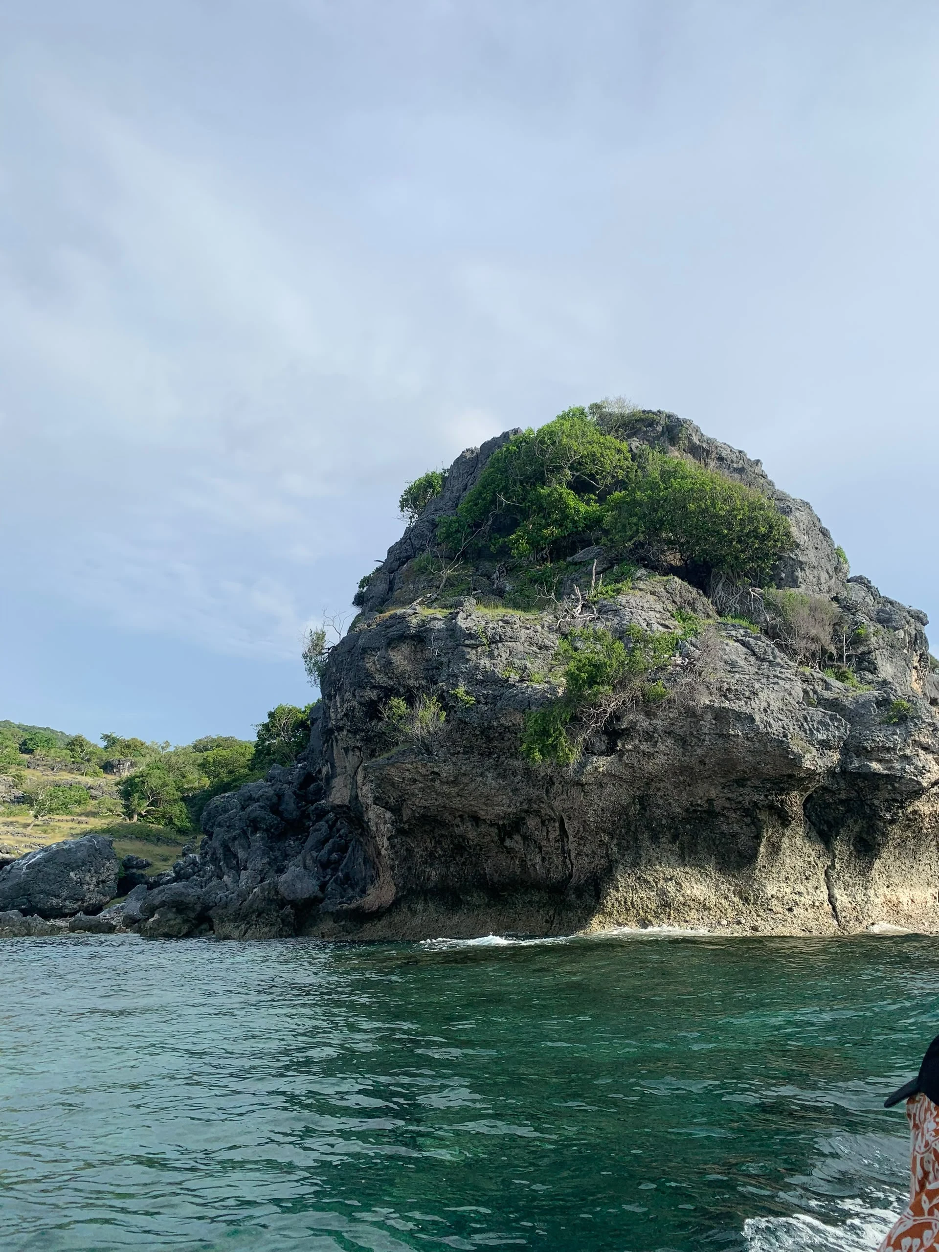
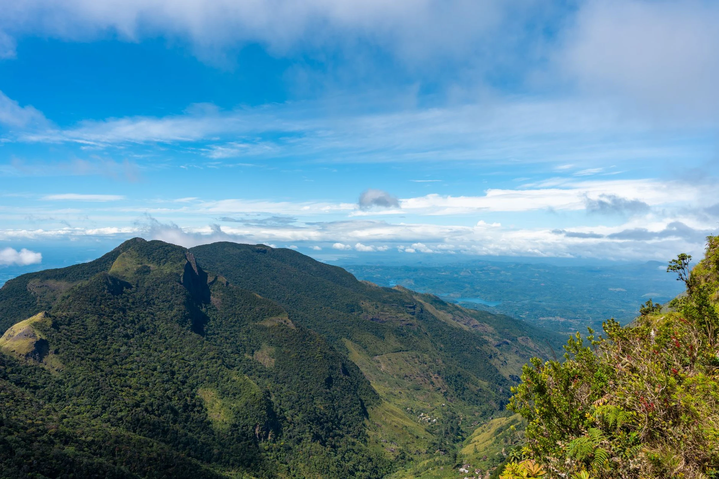
Options cited in guides cover distinct experiences: beaches and immersion in the Mamanuca islands; a limestone cave in the Yasawas; dunes in the Sigatoka Valley; and forest, bird, waterfall, and volcanic peak landscapes in Taveuni. Diving information also points to reefs and sites on various islands, but their conditions and services should not be assumed uniform. The chosen activity determines the island: decide whether you prioritize coast, diving, hiking, or mountainous interior, then check current access and operators.
Languages and currency for orientation
English, Fijian, and Fiji Hindi are listed among the languages registered for the country; this reference does not determine which language each person will use in a specific service. The currency is the Fijian dollar (FJD). These are starting points, not substitutes for verifying accepted payments, exchange rates, and practical details at the places included in your plan.
What to confirm before finalizing the route
Available information describes a tropical maritime climate and notes that the rainy season falls between December and March; another guide warns that tropical cyclones can occur between November and April. These periods do not guarantee weather for specific dates. Consult forecasts and alerts close to the travel date, as well as maritime or air connections and activity conditions. For a hike or dive, verify the requirement and status of the trail or site with the corresponding operator; do not extrapolate conditions from one island to the entire archipelago.
Sources and references
Hide references
13 references
References consulted during editorial review. Times, requirements and advisories may change: always confirm with the official source.
-
FijiLicence: CC BY-SA 4.0 Wikivoyage contributors · Fiji
-
Fijian phrasebookLicence: CC BY-SA 4.0 Wikivoyage contributors · Fijian phrasebook
-
Diving in FijiLicence: CC BY-SA 4.0 Wikivoyage contributors · Diving in Fiji
-
WikiviajesLicence: CC BY-SA 4.0 Wikivoyage contributors · Wikiviajes
-
Fiyi - WikiviajesLicence: CC BY-SA 4.0 Wikivoyage contributors · Fiyi - Wikiviajes
-
Suva - WikiviajesLicence: CC BY-SA 4.0 Wikivoyage contributors · Suva - Wikiviajes
-
Wallis and FutunaLicence: CC BY-SA 4.0 Fuente: Wikivoyage
-
SuvaLicence: Datos geográficos bajo CC BY 4.0; requiere atribución a GeoNames. Fuente: GeoNames
-
Suva, Rewa, Central, FijiLicence: ODbL 1.0; atribución y obligación de compartir bases derivadas. Fuente: OpenStreetMap
-
FijiLicence: CC BY-SA 3.0 DBpedia
-
SuvaLicence: CC BY-SA 3.0 DBpedia