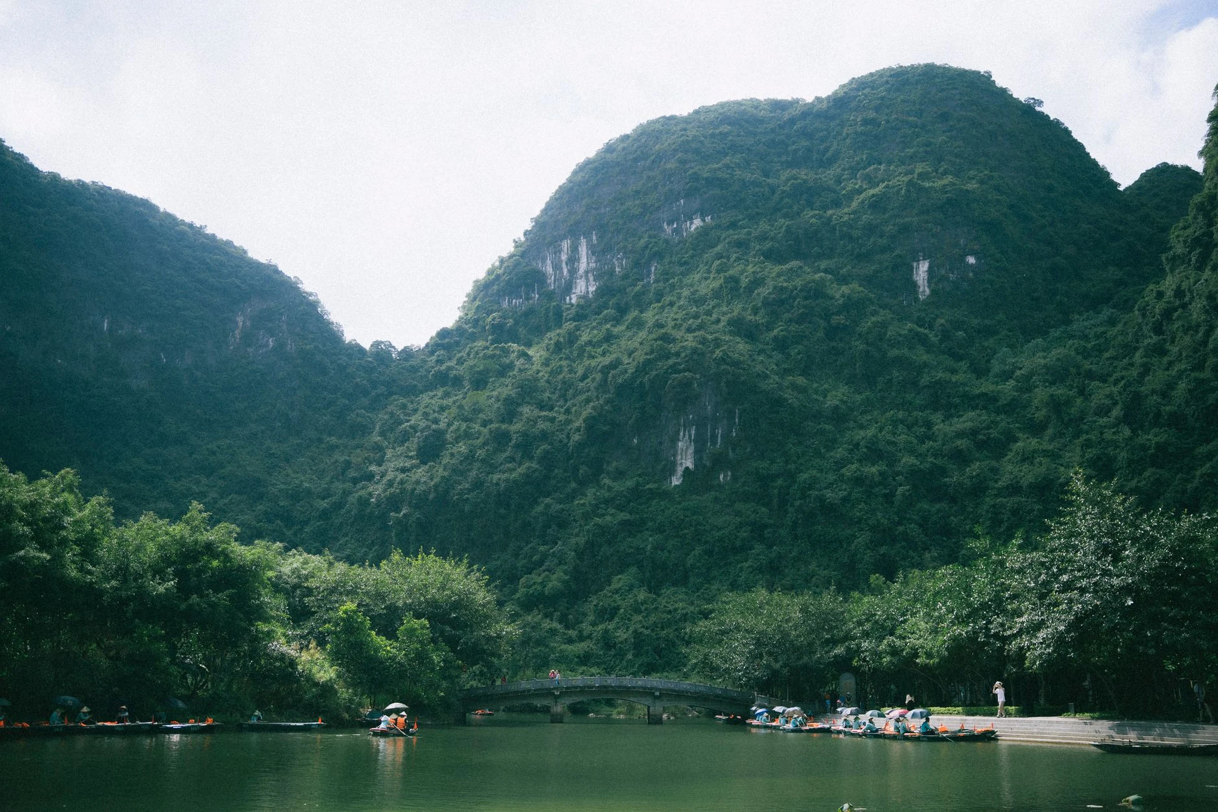
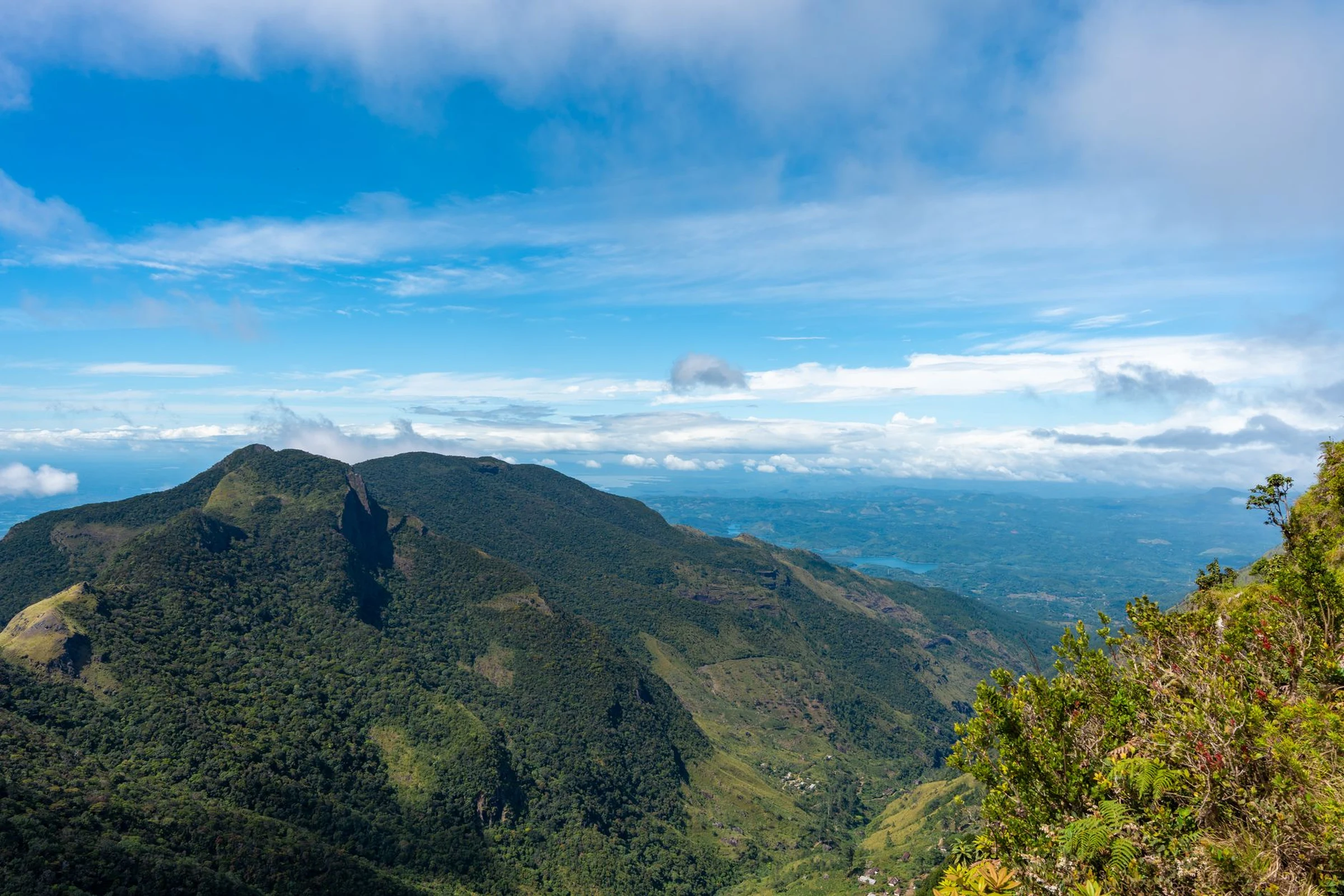
Gabon's Atlantic coast, central highlands and eastern jungle
The Atlantic coast, central highlands, and eastern rainforest offer distinct landscapes. Comparing them helps you decide which region to prioritize and which connections to verify before organizing your itinerary.
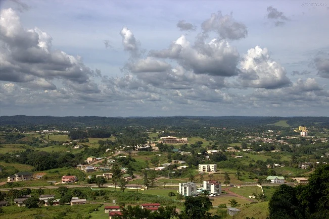
Atlantic Coast: Lagoons and Dispersed Towns
The coastal plain includes Libreville, the capital, and towns such as Gamba, Port-Gentil, and Mayumba. The landscape combines river plains, lagoons, and jungle alongside the Atlantic; therefore, 'coast' does not describe a single type of stop. Gamba, for example, is located near the Ndogo lagoon, close to the ocean, and is surrounded by small plains and forests. Choose the town based on the specific landscape, not just its coastal location, and verify how to get there before finalizing your plan.
Central Highlands: A Different Landscape Scale
The Cristal Mountains and the Chaillu Massif form the physical reference for the central highlands, with extensions of montane rainforest. This region contrasts with the coastal plains, but available information does not allow for a specific route recommendation or guarantee of access conditions. If you wish to include it, research an entry town and confirm current transfers and services before booking.
The East: Franceville and the End of the Railway
The eastern interior, largely along the border with the Republic of Congo, is dominated by jungle. Franceville is one of its main urban references: it is located along the Mpassa River and at the end of the Transgabon Railway. The railway offers a reference for planning a journey between the coast and the interior, but its schedules and conditions can change. Confirm the current service directly before building your itinerary around it.
Choosing Scope Before Accumulating Stops
For a short trip, focusing on one region can reduce dependence on connections that require verification. If you are looking to compare landscapes, the coast and the interior present a clear contrast; adding the highlands incorporates a third zone and more planning. Gabon also has national parks in different regions, but this data is not enough to recommend one or guarantee access or sightings. Decide first which landscape to prioritize and then check transfers, connections, and local conditions.
Libreville as a Practical Reference
Libreville is the capital and a point of orientation for the country. French is the language, and the Central African CFA franc (XAF) is the currency. These are useful data points for preparing a first visit, but they do not confirm flights, entry requirements, or service availability. Consult official sources and operators for details subject to change; for the train, verify schedules and conditions with the corresponding service.
Sources and references
Hide references
14 references
References consulted during editorial review. Times, requirements and advisories may change: always confirm with the official source.
-
FrancevilleLicence: CC BY-SA 4.0 Wikivoyage contributors · Franceville
-
GabonLicence: CC BY-SA 4.0 Wikivoyage contributors · Gabon
-
GambaLicence: CC BY-SA 4.0 Wikivoyage contributors · Gamba
-
LibrevilleLicence: CC BY-SA 4.0 Wikivoyage contributors · Libreville
-
Santo Tomé y Príncipe - WikiviajesLicence: CC BY-SA 4.0 Wikivoyage contributors · Santo Tomé y Príncipe - Wikiviajes
-
Guinea Ecuatorial - WikiviajesLicence: CC BY-SA 4.0 Wikivoyage contributors · Guinea Ecuatorial - Wikiviajes
-
República del Congo - WikiviajesLicence: CC BY-SA 4.0 Wikivoyage contributors · República del Congo - Wikiviajes
-
Gabón - WikiviajesLicence: CC BY-SA 4.0 Wikivoyage contributors · Gabón - Wikiviajes
-
LibrevilleLicence: Datos geográficos bajo CC BY 4.0; requiere atribución a GeoNames. Fuente: GeoNames
-
GabonLicence: CC BY-SA 3.0 DBpedia
-
Gabon national football teamLicence: CC BY-SA 3.0 DBpedia