Karera and Nyakazu: water and escarpments in southeastern Burundi
The Karera waterfalls and Nyakazu Fault form a protected-landscape visit that requires organised transport, a local guide and last-minute safety checks.
Conditions described in the guide: confirm current requirements and access with the official source before travelling.
Two landscapes best understood together
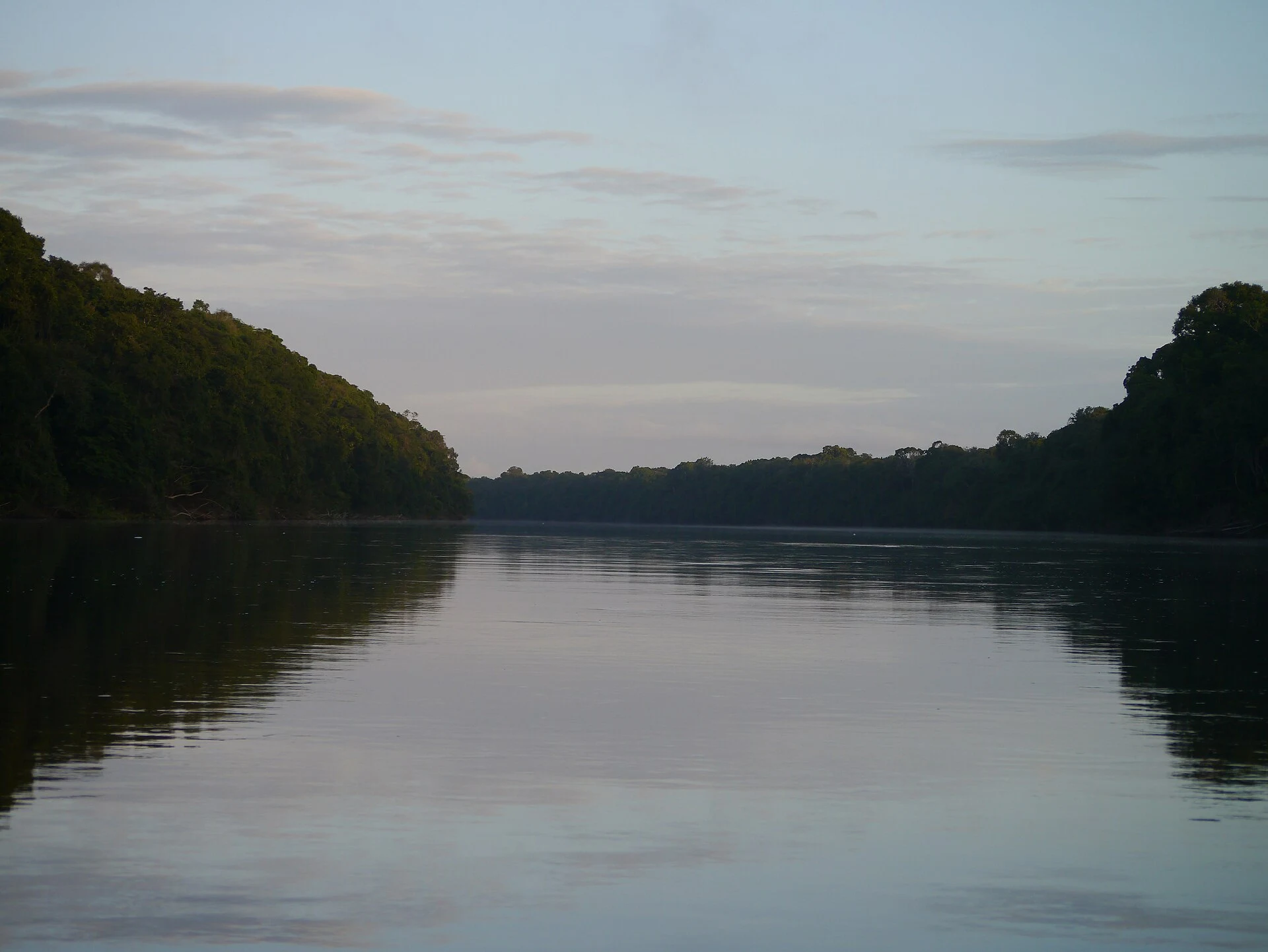
Karera is the watercourse site: its branches are arranged in three levels of waterfalls amid gallery vegetation. The experience is not only about viewing a main cascade, but also about pausing to take in the changing scale of rock, pools, tall trees and the sound of the flowing water.
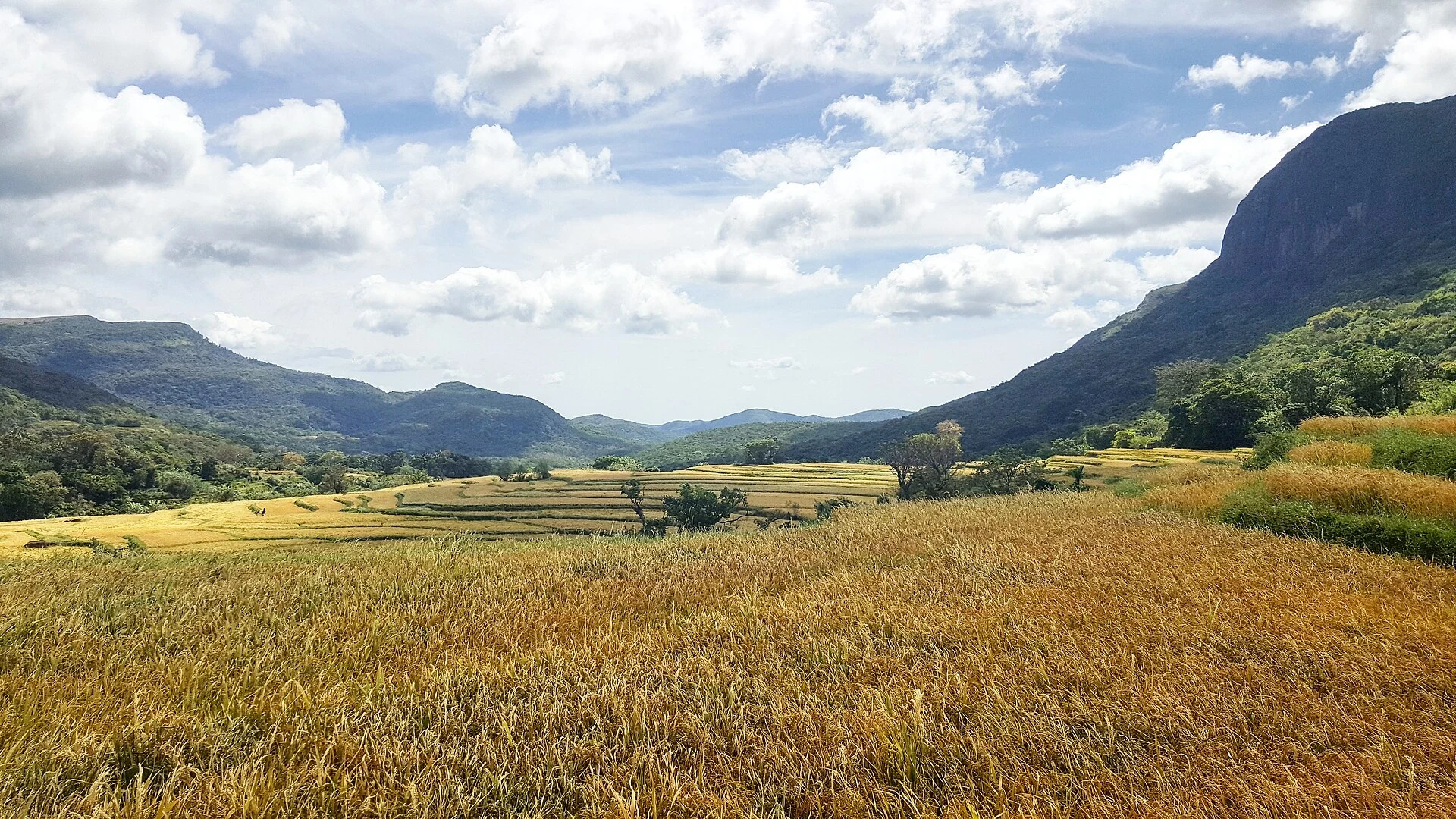
Nyakazu, farther east, offers a contrast. The fault cuts through the escarpment separating the central plateau from Kumoso; its walls, forest and openings towards the depression explain why it is worth allowing time to observe the landform rather than treating it as a simple viewpoint. The most logical order is Karera first and Nyakazu afterwards: from the closeness of the water to the escarpment’s broad landscape.
The value of visiting a protected area
Both sites form part of the Nkoma Natural Monuments, a protected area of approximately 742 hectares under Burundi’s environmental authorities. Institutional documentation describes management shared between the state and local communities, with tourist guides participating in the site’s operation.
That context changes the appropriate attitude. Stay on the routes indicated by those responsible for the site, do not collect plants, stones or other materials, and avoid entering cracks, caves or forest areas beyond the designated access. Karera Cave is also a place of reflection for people from different regions: ask before taking photographs, speak quietly and accept that part of the site is not designed as a spectacle.
Logistics matter more than map distance
Karera and Nyakazu are in the Rutana area, in the southeast of the country. Official tourism information presents them as a regional combination accessible by road, but that reference should not be turned into a rigid calculation of journey times: road conditions, checkpoints, fuel availability, weather and the local situation can all change the plan.
The prudent option is to hire transport with a local driver and agree in advance on the itinerary, meeting point, latest return time and an operational contact in Rutana. Guided visits are described as available through the area’s tourism management; confirm whether a guide will be available on your chosen day, in which language and which parts of the route are actually open. Do not assume there will be toilets, food services, mobile coverage, card payments or nearby medical assistance.
What to check before deciding to go
This route works best for travellers who accept a flexible, landscape-focused visit, not for those who need guaranteed timetables. Before committing money, check with current official sources: the travel advisory applicable to your nationality, entry and health requirements, road conditions towards Rutana, whether Karera and Nyakazu are open, and the actual availability of a guide and vehicle.
If security recommendations become stricter, if you cannot rely on a trustworthy local network or if a medical emergency would leave you without a clear evacuation plan, postpone the excursion. If conditions allow travel, leave some flexibility in the schedule and focus on these two landscapes rather than adding distant stops. That decision reduces rushed journeys and allows you to follow the guidance of people working in the area.
A visit shaped by landform, water and context
Karera offers the close-up scale of waterfalls and forest; Nyakazu, a territorial reading of a fracture in the landform. Together, the two stops show that southeastern Burundi cannot be reduced to a photograph of water or a panorama from above.
The traveller’s best contribution is simple: arrive with realistic expectations, follow local guidance and accept that safety and access take precedence over the itinerary. In a protected landscape with changing operating conditions, giving up a particular visit can be a well-informed travel decision.
Sources and references
Hide references
20 references
References consulted during editorial review. Times, requirements and advisories may change: always confirm with the official source.
-
BurundiLicence: CC BY-SA 3.0 DBpedia
-
NyakazuLicence: Datos geográficos bajo CC BY 4.0; requiere atribución a GeoNames. Fuente: GeoNames
-
NyakazuLicence: Datos geográficos bajo CC BY 4.0; requiere atribución a GeoNames. Fuente: GeoNames
-
Nyakazu, Rutana, BurundiLicence: ODbL 1.0; atribución y obligación de compartir bases derivadas. Fuente: OpenStreetMap
-
RutanaLicence: Datos geográficos bajo CC BY 4.0; requiere atribución a GeoNames. Fuente: GeoNames
-
RutanaLicence: Datos geográficos bajo CC BY 4.0; requiere atribución a GeoNames. Fuente: GeoNames
-
Rutana, BurundiLicence: ODbL 1.0; atribución y obligación de compartir bases derivadas. Fuente: OpenStreetMap
-
Rutana, BurundiLicence: ODbL 1.0; atribución y obligación de compartir bases derivadas. Fuente: OpenStreetMap