Lagoons, Savannas, and Forests of Côte d’Ivoire for Route Planning
Coastal lagoons, northern savannas, and humid southwestern forests describe distinct regions of Côte d’Ivoire. This guide helps prioritize landscapes, understand the roles of Abidjan and Yamoussoukro, and know which practical data to verify before departure.
Three landscapes, different priorities
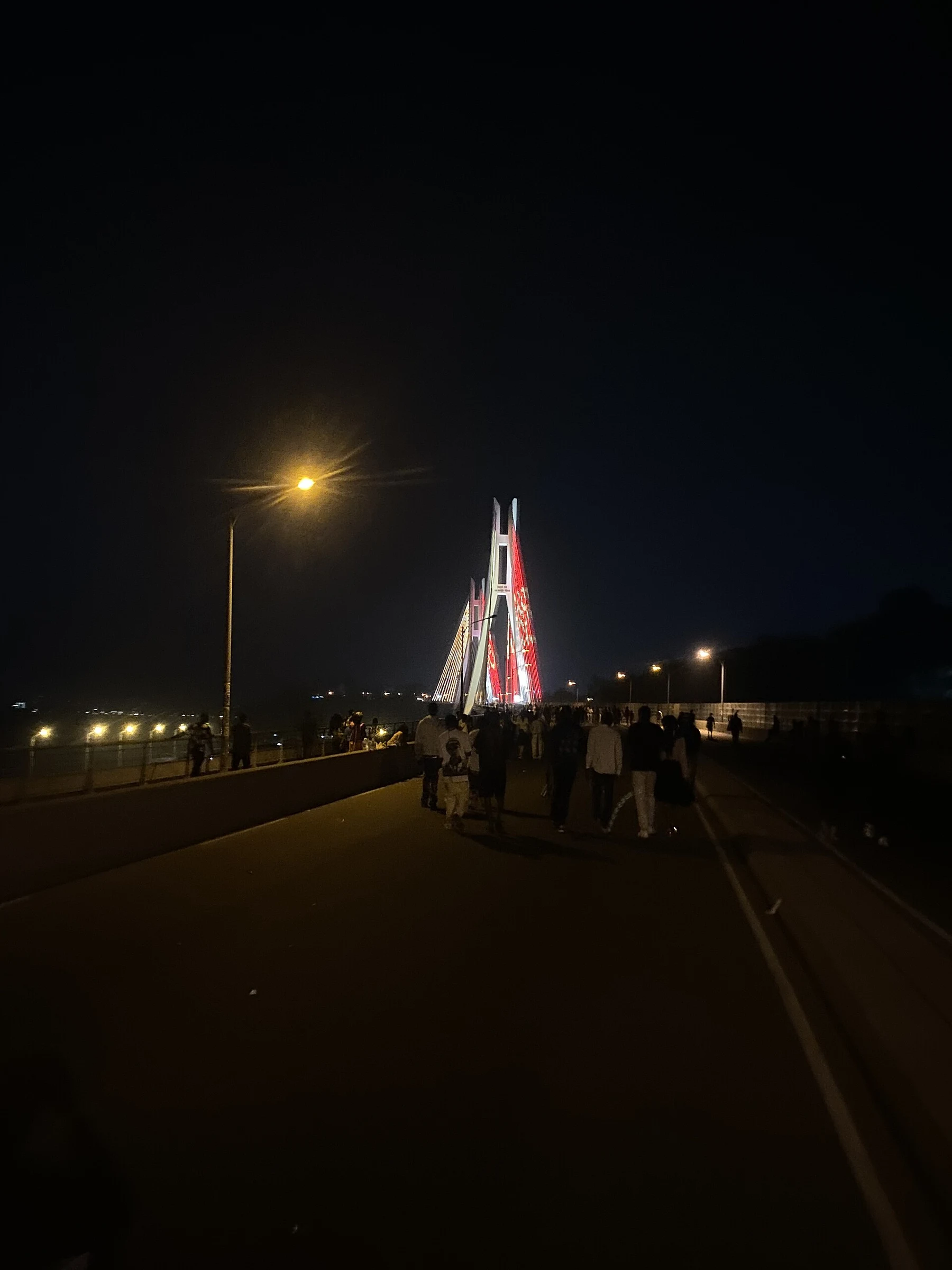
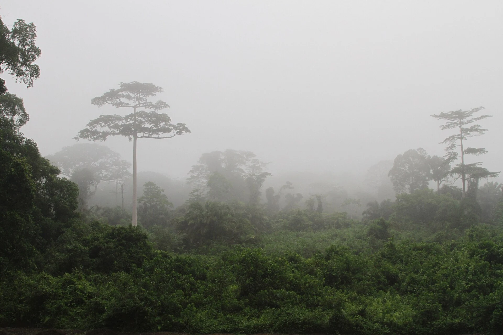
The southern strip faces the Gulf of Guinea and includes coastal lagoons around Abidjan. To the north extends a mostly dry savanna; the southwest corresponds to humid tropical forest. Between Lake Kossou and the border with Ghana lies a partially cultivated zone. The relief is mostly flat or rolling, although the northwest has mountains. They are not stops on a compact circuit by definition: the map helps decide which landscape interests you, but it does not prove that travel between them is easy.
Abidjan and Yamoussoukro are not interchangeable
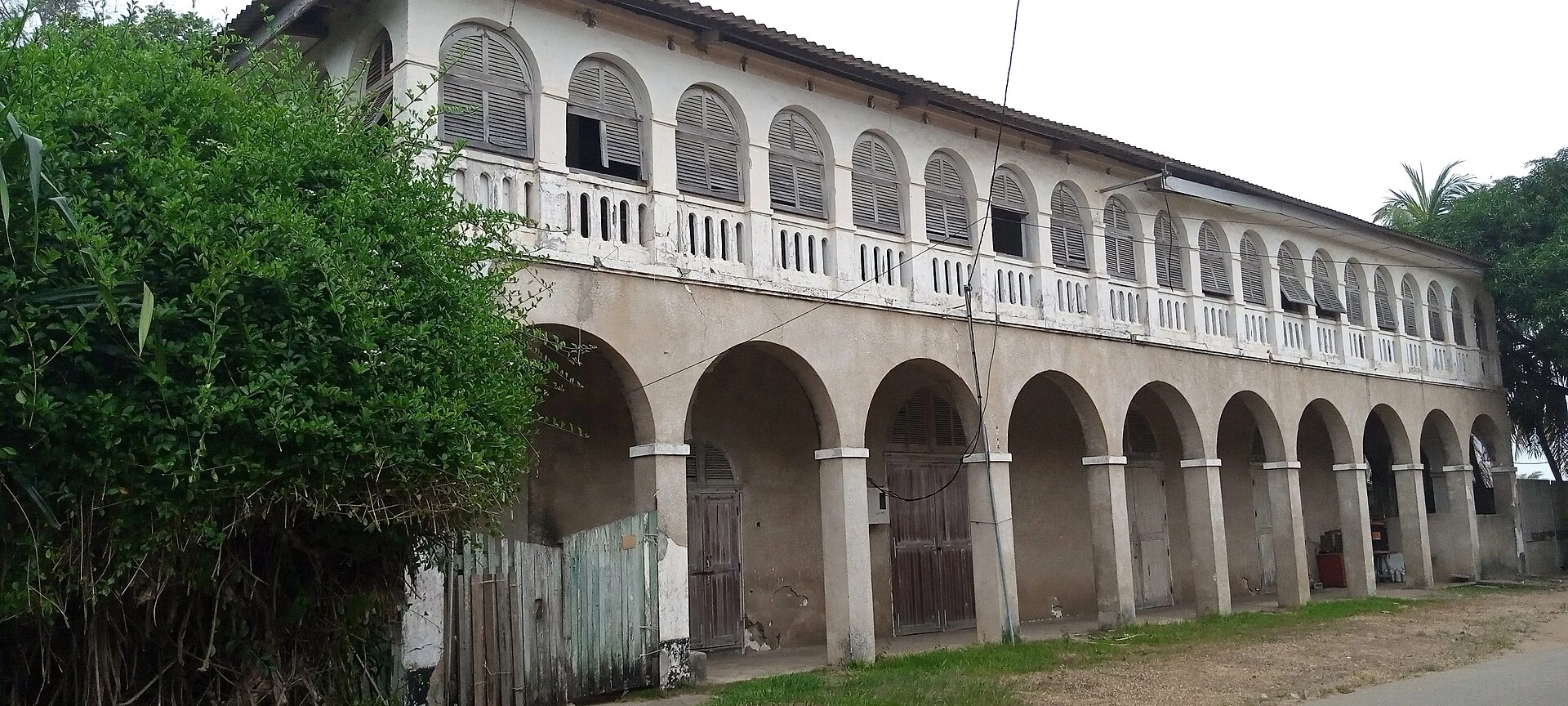
Yamoussoukro has been the capital since 1983, but it is not the administrative center. Abidjan fulfills that function, and other countries maintain their embassies there. This distinction matters when organizing an arrival or an administrative task: confirm where the service you need is offered, rather than deducing it from the title of capital. Grand-Bassam is a coastal town that often serves as a weekend retreat for Abidjan residents; San Pedro is another important port. To plan connections between cities, verify current options and times.
Coast and climate: context, not calendar
The coast has strong surf and lacks natural harbors. The climate ranges from tropical on the coast to semi-arid in the far north; the general reference distinguishes warm dry periods from a warm rainy season. During the rains, torrential flooding can occur. This serves to frame questions about the location and dates, not to recommend specific months or predict the weather of a locality. Check the forecast and local conditions before fixing activities.
Checks before finalizing the route
French is a useful linguistic reference; the currency is the West African CFA franc (XOF). For operational decisions, review the entry requirements that apply to your nationality and confirm transport, services, and local conditions with up-to-date sources. You can also use a guide to Grand-Bassam on foot: Quartier France, the museum, and the lagoon to expand information about that locality.
Sources and references
Hide references
14 references
References consulted during editorial review. Times, requirements and advisories may change: always confirm with the official source.
-
Côte d'IvoireLicence: CC BY-SA 4.0 Wikivoyage contributors · Côte d'Ivoire
-
FrancLicence: CC BY-SA 4.0 Wikivoyage contributors · Franc
-
Dagaare phrasebookLicence: CC BY-SA 4.0 Wikivoyage contributors · Dagaare phrasebook
-
Costa de Marfil - WikiviajesLicence: CC BY-SA 4.0 Wikivoyage contributors · Costa de Marfil - Wikiviajes
-
Malí - WikiviajesLicence: CC BY-SA 4.0 Wikivoyage contributors · Malí - Wikiviajes
-
Burkina Faso - WikiviajesLicence: CC BY-SA 4.0 Wikivoyage contributors · Burkina Faso - Wikiviajes
-
Guinea - WikiviajesLicence: CC BY-SA 4.0 Wikivoyage contributors · Guinea - Wikiviajes
-
Costa de MarfilLicence: CC0 1.0 Wikidata · Q1008
-
costa de MarfilLicence: CC0 1.0 Wikidata · Q37790802
-
Ivory CoastLicence: ODbL 1.0 World countries dataset by mledoze and contributors · ODbL 1.0
-
YamoussoukroLicence: Datos geográficos bajo CC BY 4.0; requiere atribución a GeoNames. Fuente: GeoNames
-
Costa de marfilLicence: CC BY-SA 3.0 DBpedia