Lilongwe, Chongoni and Mua on Malawi’s Central Plateau
Lilongwe helps place central Malawi on the map, while Chongoni and Mua offer two distinct reasons to explore the region. Check travel connections and conditions before setting out.
Lilongwe as a point of reference, not a complete itinerary
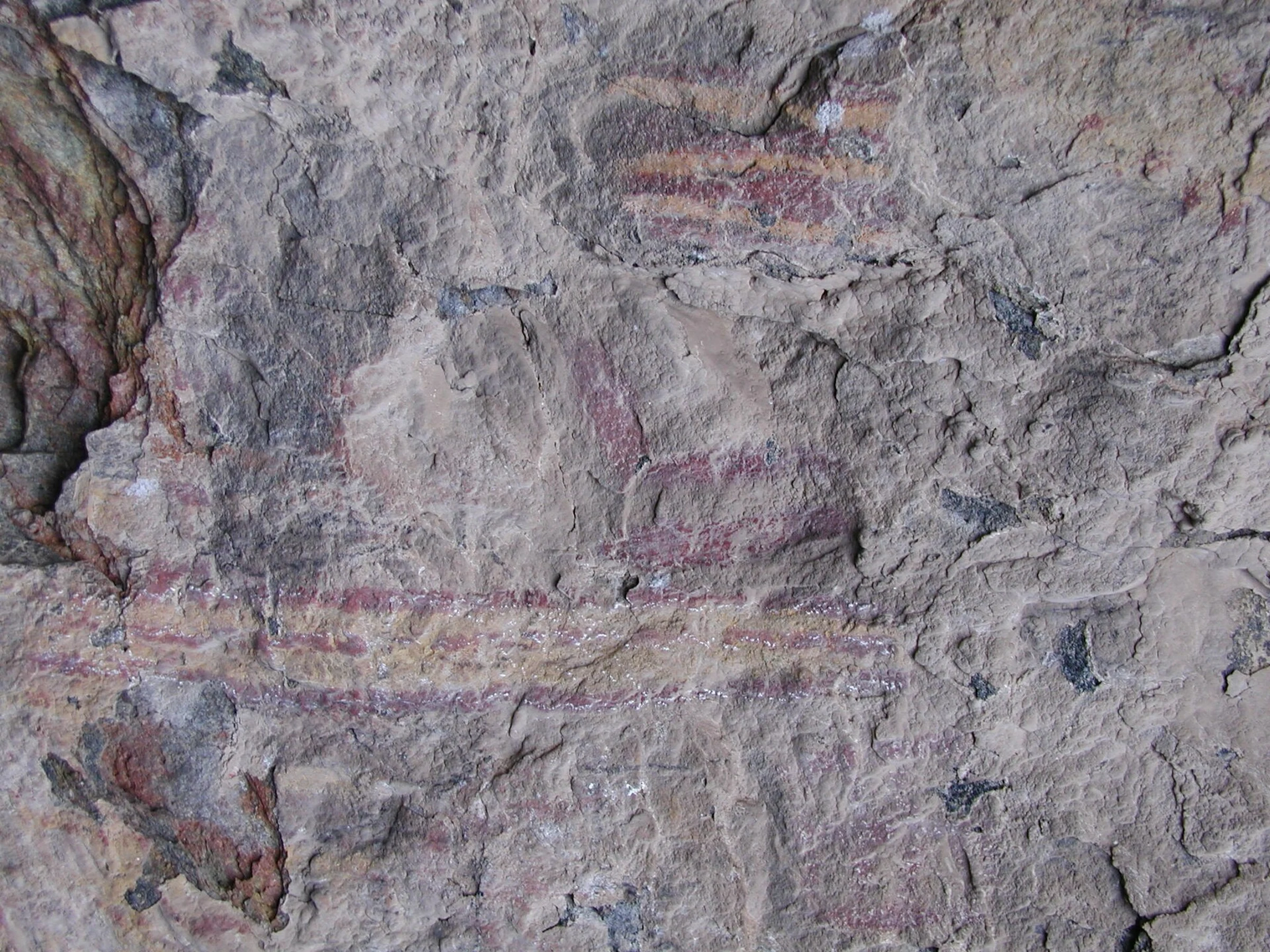
Lilongwe is in Malawi’s Central Region and is the country’s political capital. It is a useful starting point for getting your bearings, but the available information does not describe routes, journey times or current services to other destinations. If you want to combine the city with regional stops, check how to reach each place and how much time the journey requires. Malawi is landlocked: Lake Malawi is part of the country’s geography, but it does not make Lilongwe a coastal destination. For broader context, see this guide to Malawi’s geography, Lilongwe and practical checks before a trip.
Chongoni: rock art in the Dedza landscape
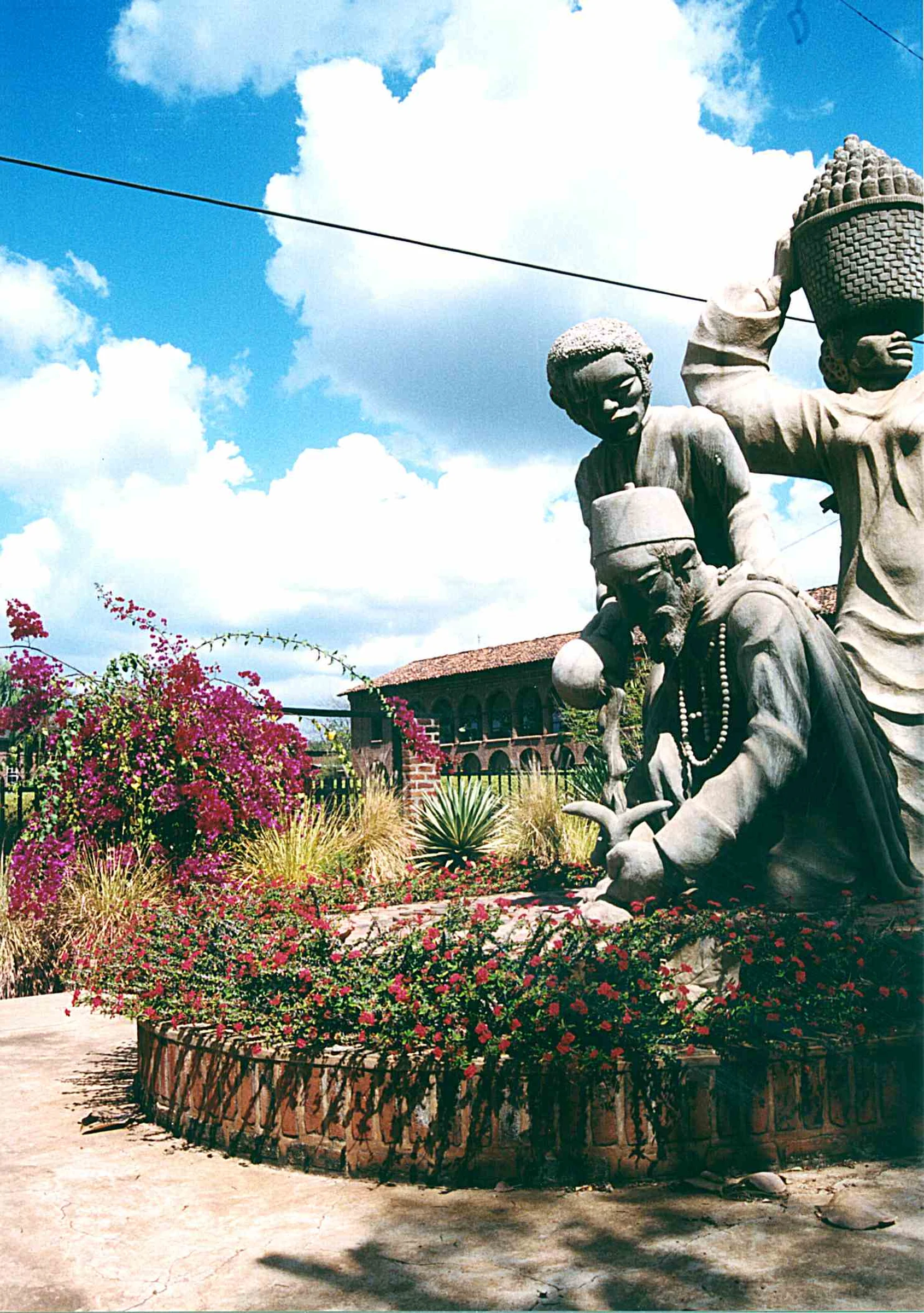
The Chongoni rock art area, near Dedza, brings together prehistoric and historic rock paintings. Its interest lies in the wider site and its context, rather than in treating each rock shelter as a separate stop without first checking access. The guide consulted identifies Chongoni as a UNESCO World Heritage Site. Before planning a specific visit, confirm current conditions with the relevant local or tourism authority.
Mua and the KuNgoni Centre of Culture and Art
In Dedza District, Mua brings together Mua village, the Mua mission and the KuNgoni Centre of Culture and Art. It offers a different focus from Chongoni: here, the emphasis is on a cultural and artistic institution, not solely on rock paintings. Available information does not specify opening hours, activities, fees or entry requirements, so check these details before travelling.
A plateau region and local language references
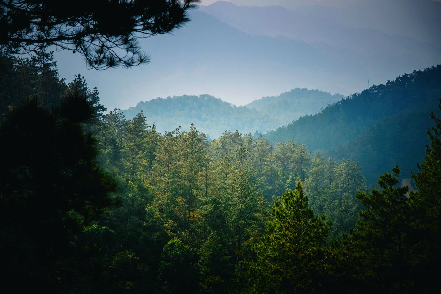
The central landscape may appear relatively flat, but it forms part of the elevated Central African Plateau. The regional guide notes Chichewa and Chitumbuka among the widely used local languages, with Chitumbuka present in several districts and parts of Lilongwe. These names offer useful context, but they should not be taken to mean that a language is used uniformly throughout the region.
What to check before choosing your stops
The available information does not confirm current connections, opening hours, fees or access conditions at Chongoni or Mua. Check these details with the local contacts responsible before finalising your plans. If your trip includes several places, treat travel time as uncertain until you have reliable confirmation; do not infer journey times or availability from map distance alone.
Sources and references
Hide references
14 references
References consulted during editorial review. Times, requirements and advisories may change: always confirm with the official source.
-
Central MalawiLicence: CC BY-SA 4.0 Wikivoyage contributors · Central Malawi
-
MalawiLicence: CC BY-SA 4.0 Wikivoyage contributors · Malawi
-
Northern MalawiLicence: CC BY-SA 4.0 Wikivoyage contributors · Northern Malawi
-
Southern MalawiLicence: CC BY-SA 4.0 Wikivoyage contributors · Southern Malawi
-
Malaui - WikiviajesLicence: CC BY-SA 4.0 Wikivoyage contributors · Malaui - Wikiviajes
-
MuaLicence: CC BY-SA 4.0 Fuente: Wikivoyage
-
LilongweLicence: Datos geográficos bajo CC BY 4.0; requiere atribución a GeoNames. Fuente: GeoNames
-
Lilongwe, Central Region, Malawi, MalawiLicence: ODbL 1.0; atribución y obligación de compartir bases derivadas. Fuente: OpenStreetMap
-
Lilongwe, Central Region, Malawi, MalawiLicence: ODbL 1.0; atribución y obligación de compartir bases derivadas. Fuente: OpenStreetMap
-
MalawiLicence: CC BY-SA 3.0 DBpedia
-
Malawi national football teamLicence: CC BY-SA 3.0 DBpedia
-
Central Region, MalawiLicence: CC BY-SA 3.0 DBpedia
-
Southern Region, MalawiLicence: CC BY-SA 3.0 DBpedia