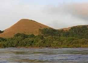
Malanje from Luanda by train to Kalandula and Pungo Andongo
A multi-day route to Malanje, taking in the full force of the Lucala and understanding why the Black Rocks are also a landscape of memory.
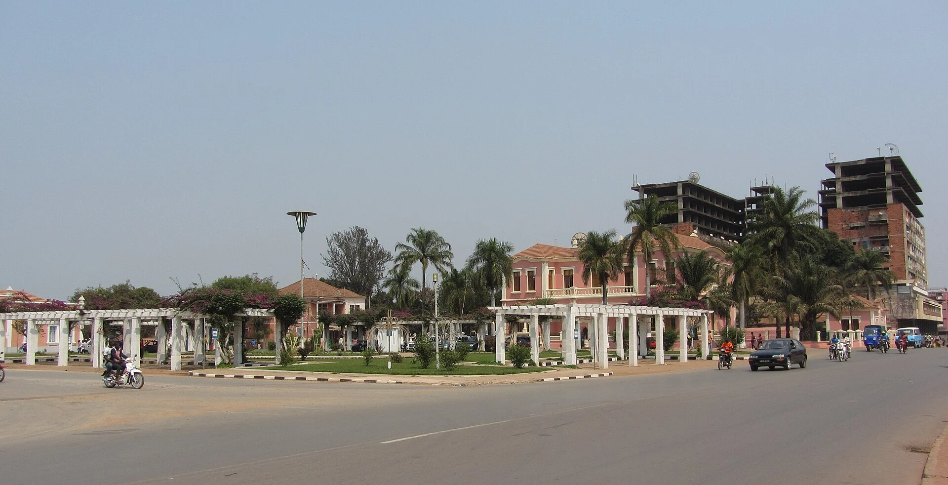
Malanje as a base, not a fleeting stop
The city of Malanje is the practical base for connecting the two sites: Kalandula is arranged around the Lucala River, while Pungo Andongo lies in another direction and calls for a day of its own. Staying in Malanje or near Kalandula avoids relying on a long return journey after sunset and leaves room to adjust the plan if a transfer is delayed.
Think in terms of three or four days from Luanda, not an express excursion. One day may absorb the arrival in Malanje; another, Kalandula; another, Pungo Andongo; and the last can serve as a buffer for the return. This distribution also allows you to observe the landscape without imposing excessively long days on drivers or travellers.
The train reaches Malanje; the final stretch needs another plan
The Caminho de Ferro de Luanda continues to operate passenger services along the corridor linking Luanda and Malanje. It is an interesting alternative if you want the journey itself to form part of the trip, but it does not replace local transport to the falls or Pungo Andongo. Arrange a pickup, vehicle and means of communication before getting off the train.
Avoid building your itinerary around timetables found in old posts: frequencies, departure times, ticket purchases and baggage conditions are liable to change. If you choose rail, confirm the service directly with the operator and keep a realistic alternative for the return. Anyone preferring the road should apply the same caution to route conditions and fuel availability.
Kalandula: begin at the edge of the Lucala
Kalandula Falls form where the Lucala opens into a great curtain of water. The scale of the drop—usually described as about 105 metres high and around 400 metres wide—is best understood from the viewpoints above the gorge. Start by observing from above: this helps you place the river, assess the light and calmly decide whether conditions invite you to explore other points.
Do not assume that every path towards the base will be passable. Rain changes the flow, terrain and visibility; ask locally which access route is open, and do not approach unstable edges in search of a photograph. Carry water, sun protection and shoes with good grip, but above all keep a prudent distance from the water and cliff edges. The visit is better when it adapts to the place rather than forcing a particular angle.
Pungo Andongo: a rock formation and a cultural landscape
The Black Rocks of Pungo Andongo are not merely a group of monoliths rising from the savannah. The Angolan state classified the area as a National Historic-Cultural Landscape, recognising the importance of the former mbanza of Pungo Andongo, its strategic role during the Portuguese occupation and its connection to the memory of resistance.
That context deserves to be divided into three layers. There is the visible geology; there is the political history of the Ndongo kingdom; and there are local narratives linking certain marks to Nzinga and other rulers. Do not present these attributed traces as archaeological proof: listen to them as part of the place’s living memory and interpretation. If you visit built remains or areas used by the community, ask permission before photographing people, avoid climbing rocks where it is not allowed, and leave the site as you found it.
A route’s rhythm and checks not to postpone
A sensible sequence is to reach Malanje, dedicate a generous morning or afternoon to Kalandula, reserve another for Pungo Andongo and leave a final buffer for the return. Do not add Cangandala automatically: wildlife observation requires different logistics, and sightings are not guaranteed. It is better to explore these two landscapes in depth than to turn a short route into an impossible checklist.
Safety and health should shape the decision from the outset. Luanda is the most common gateway, but it is unwise to improvise urban transfers, night driving or medical assistance outside the main centres. Take out insurance that includes medical evacuation if appropriate to your circumstances, share your itinerary with someone you trust and stay on known routes: Angola still has areas at risk from mines and unexploded ordnance.
Before setting out, verify these sensitive details:
- Visit Angola’s Malanje and Kalandula pages: the condition of the falls, access and general guidance for the province.
- Angolan Executive Decree No. 282/17: Pungo Andongo’s status as a National Historic-Cultural Landscape and the scope of its protection.
- Caminhos de Ferro de Luanda: current services between Luanda and Malanje, timetables, ticket sales and travel conditions.
- The Angolan Embassy and Migration Service: the visa or exemption applicable to your passport, authorised length of stay and entry formalities.
- Your country’s health authorities and consular advice: vaccinations, medical preparation, security risks and current territorial alerts.
Sources and references
Hide references
24 references
References consulted during editorial review. Times, requirements and advisories may change: always confirm with the official source.
-
AngolaLicence: CC BY-SA 3.0 DBpedia
-
LuandaLicence: Datos geográficos bajo CC BY 4.0; requiere atribución a GeoNames. Fuente: GeoNames
-
LuandaLicence: Datos geográficos bajo CC BY 4.0; requiere atribución a GeoNames. Fuente: GeoNames
-
Luanda, Municipality of Luanda, Luanda Province, AngolaLicence: ODbL 1.0; atribución y obligación de compartir bases derivadas. Fuente: OpenStreetMap
-
Lucala RiverLicence: Datos geográficos bajo CC BY 4.0; requiere atribución a GeoNames. Fuente: GeoNames
-
Quatro de Fevereiro AirportLicence: ODbL 1.0 (base de datos) / DbCL 1.0 (contenidos) Quatro de Fevereiro Airport · OpenFlights · ODbL 1.0