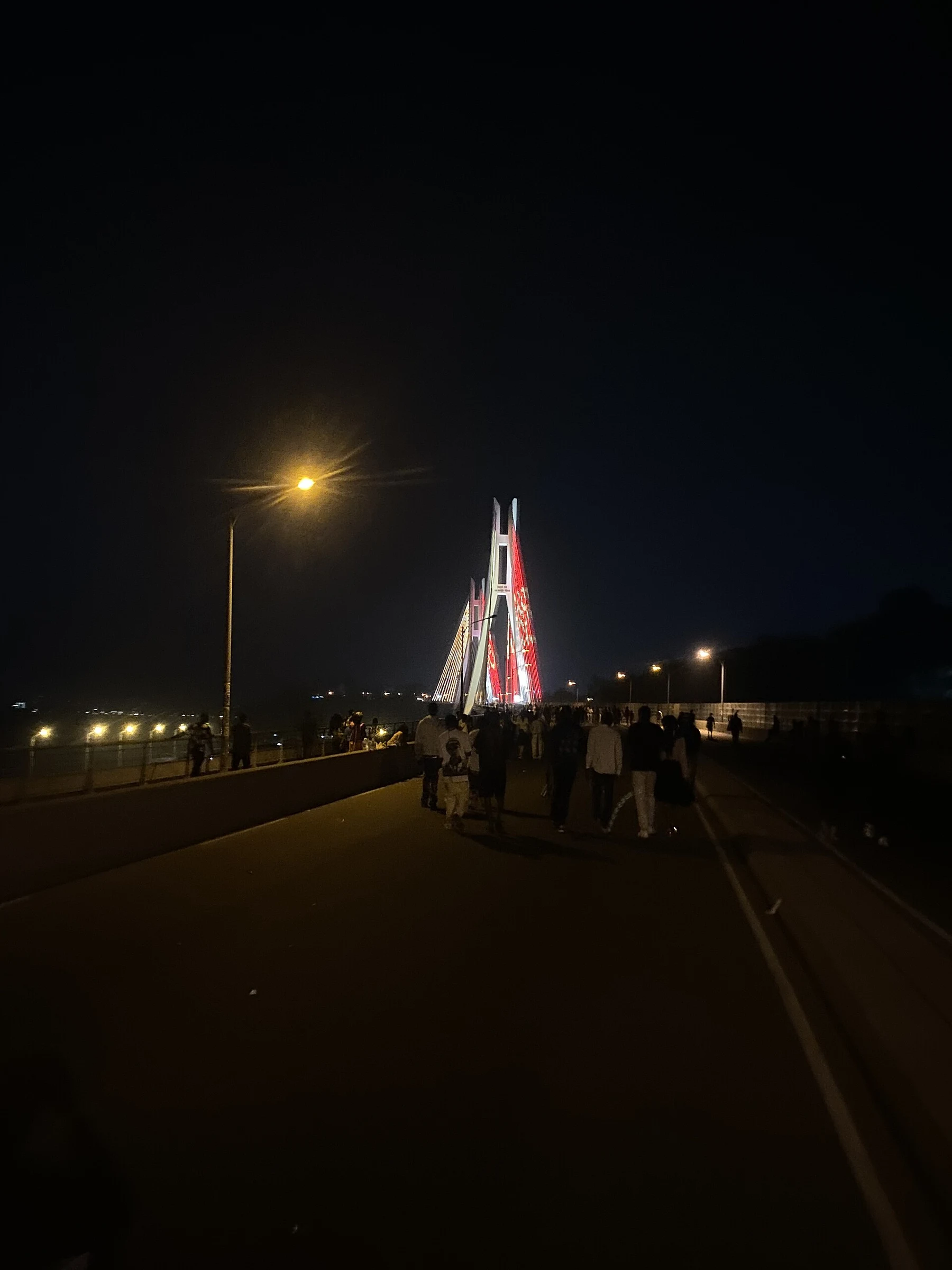
Planning a trip to the Republic of the Congo by region
The coast of Pointe-Noire, the northern reserves, and Brazzaville shape very different journeys. A regional reading helps decide what to explore and what to verify before organizing transfers.
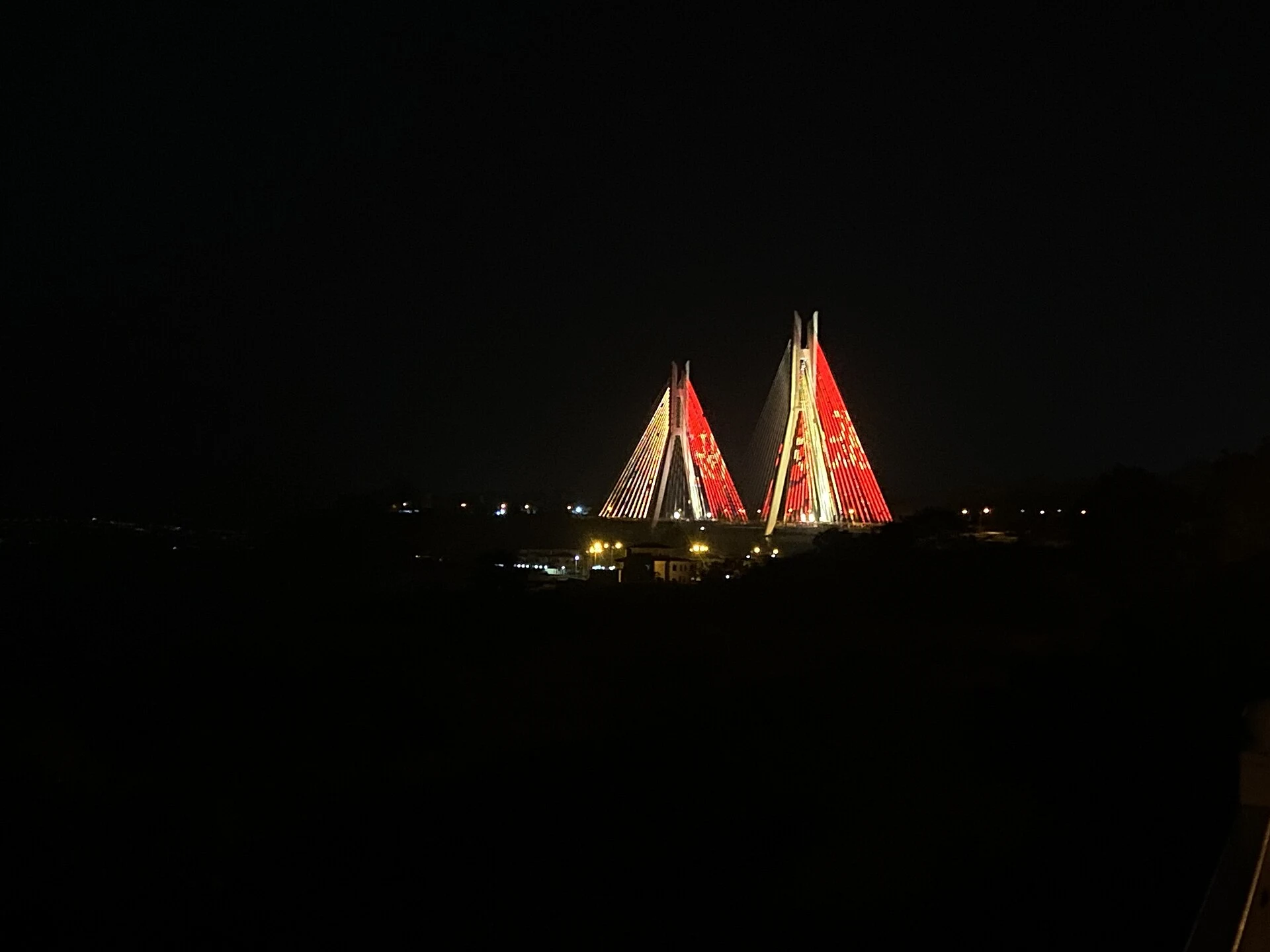
Brazzaville as a starting point, not a summary of the country
The capital lies along the Congo River and concentrates a significant portion of the national population. It can serve as an initial reference to situate the country, but it does not allow one to assume that visit conditions or travel are identical in other regions. French, Kikongo, and Lingala are among the country's languages; the currency is the Central African CFA franc (XAF).
If the plan includes other destinations, verify separately how to reach them and which services are operational for each leg. Available information is insufficient to confirm connections, schedules, or current conditions.
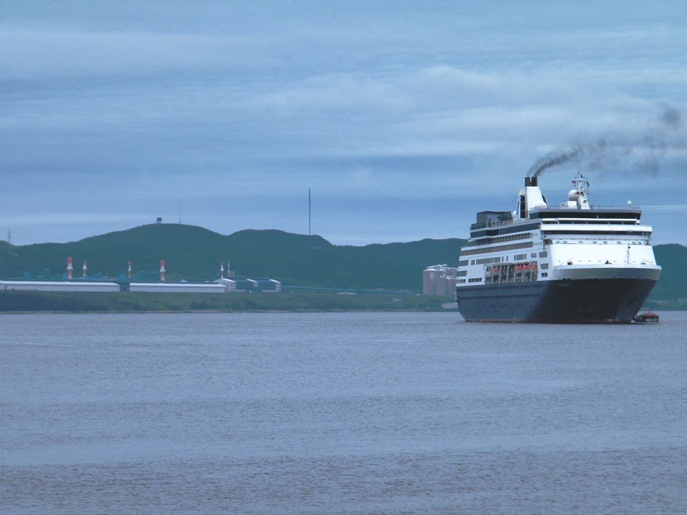
Coast and Mayombe: the reference of Pointe-Noire
Pointe-Noire is a port city and an economic and commercial hub in the Coast and Mayombe region. Its position distinguishes it from the inland capital: it may fit into a trip oriented toward the Atlantic coast, but the map alone does not confirm connections between the two cities or allow for a reliable itinerary.
Before deciding the order of stops, verify the available means of transport, their frequency, and current conditions. Do not assume that a land or rail route is operational simply because it appears in a general description of the country.
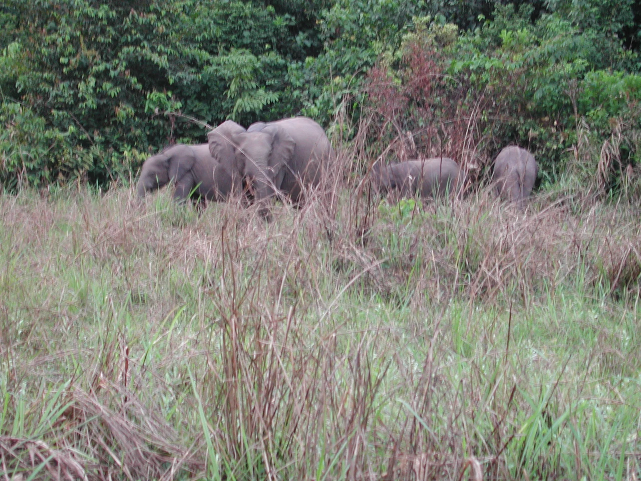
The northern forests and protected areas
The Cuvette region includes Odzala-Kokoua National Park. The catalog also identifies Nouabalé-Ndoki as another national park in the north, describing the latter as remote. These references show that a forest visit belongs to a different planning category than an urban or coastal stay; they do not by themselves prove accessibility, guide availability, or entry conditions.
To evaluate a trip, request updated confirmation on access, transport, accommodation, and visit requirements directly from operators or responsible entities. Without that data, it is prudent to treat the parks as potential destinations rather than simple extensions of a route through Brazzaville.
A practical decision: narrow down before linking regions
The country can be organized into six regions, including Coast and Mayombe, Congolese Plateau, Cuvette, and Niari Valley. This division is useful for choosing the type of trip: coast, city, plateau, or forest. It does not equate to a route proposal nor prove that the regions are easily or regularly connected.
First choose a main zone, then verify the necessary transfers for any extension. For variable information—services, schedules, access, and visit conditions—consult official sources or corresponding operators close to the travel date.
Sources and references
Hide references
14 references
References consulted during editorial review. Times, requirements and advisories may change: always confirm with the official source.
-
CongoLicence: CC BY-SA 4.0 Wikivoyage contributors · Congo
-
Congo BasinLicence: CC BY-SA 4.0 Wikivoyage contributors · Congo Basin
-
Democratic Republic of the CongoLicence: CC BY-SA 4.0 Wikivoyage contributors · Democratic Republic of the Congo
-
Republic of the CongoLicence: CC BY-SA 4.0 Wikivoyage contributors · Republic of the Congo
-
Angola - WikiviajesLicence: CC BY-SA 4.0 Wikivoyage contributors · Angola - Wikiviajes
-
República Centroafricana - WikiviajesLicence: CC BY-SA 4.0 Wikivoyage contributors · República Centroafricana - Wikiviajes
-
República del Congo - WikiviajesLicence: CC BY-SA 4.0 Wikivoyage contributors · República del Congo - Wikiviajes
-
República Democrática del Congo - WikiviajesLicence: CC BY-SA 4.0 Wikivoyage contributors · República Democrática del Congo - Wikiviajes
-
AfricaLicence: CC BY-SA 4.0 Fuente: Wikivoyage
-
Democratic Republic of the CongoLicence: CC BY-SA 3.0 DBpedia