The Zeravshan Valley and Tajikistan’s Historic Fergana Route
In Tajikistan, the Zeravshan Valley combines remote alpine scenery with historic landmarks, while Fergana links Tajik cities along an ancient trade route. They are distinct regions, so check current logistics before planning a route.
Zeravshan: alpine scenery and historic landmarks
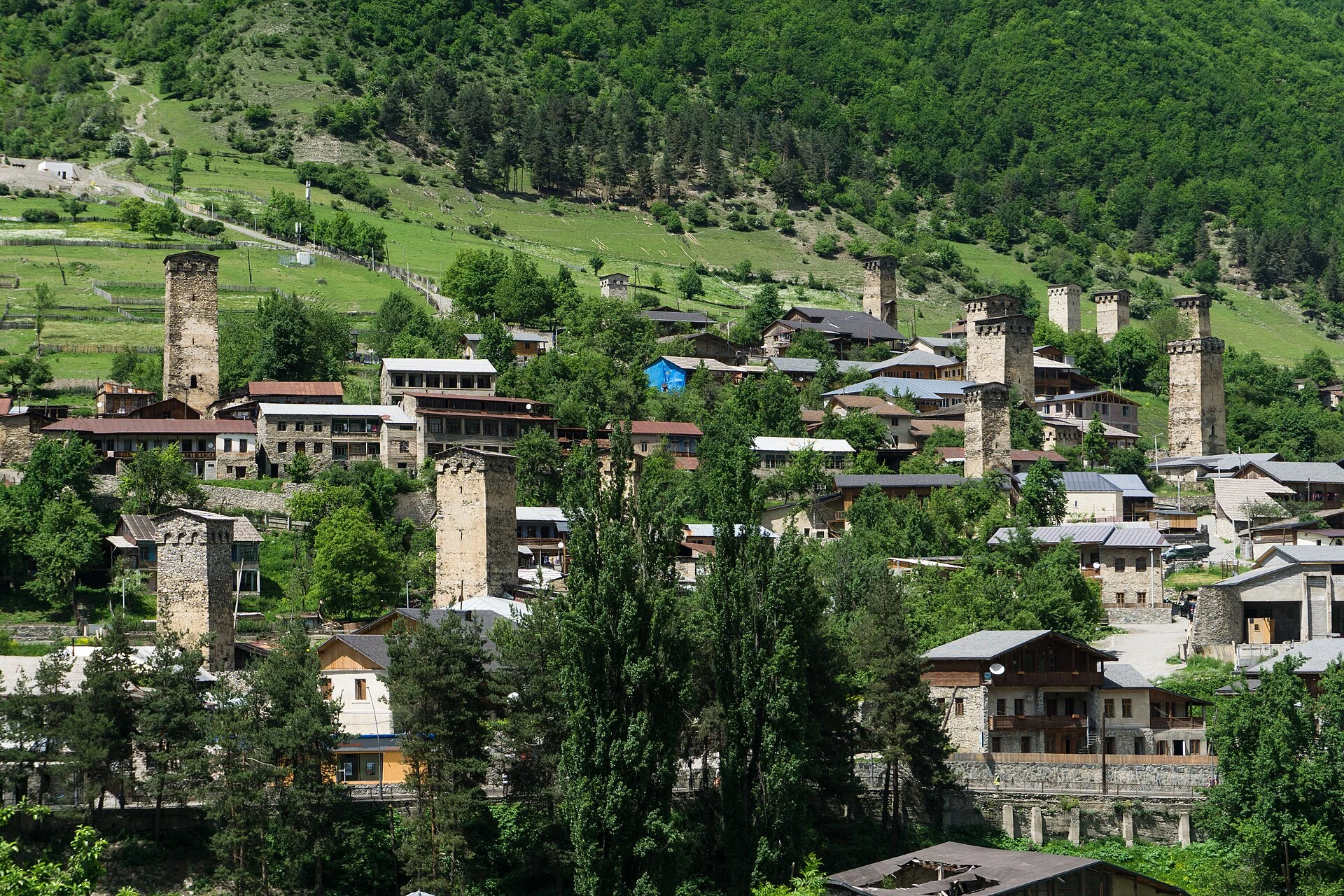
The Zeravshan Valley takes its name from the river that runs through it; the Persian name translates as “spreader of gold.” The region lies in central-western Tajikistan and is associated with remote alpine mountains and historic places such as Panjakent. The Fann Mountains are part of this setting and are a regional point of reference for hiking and climbing. That gives you a sense of the area’s appeal, but it is not enough to plan an outing: check access and local conditions separately, and do not assume every excursion has the same difficulty or availability.
Fergana: Tajik cities along a historic corridor
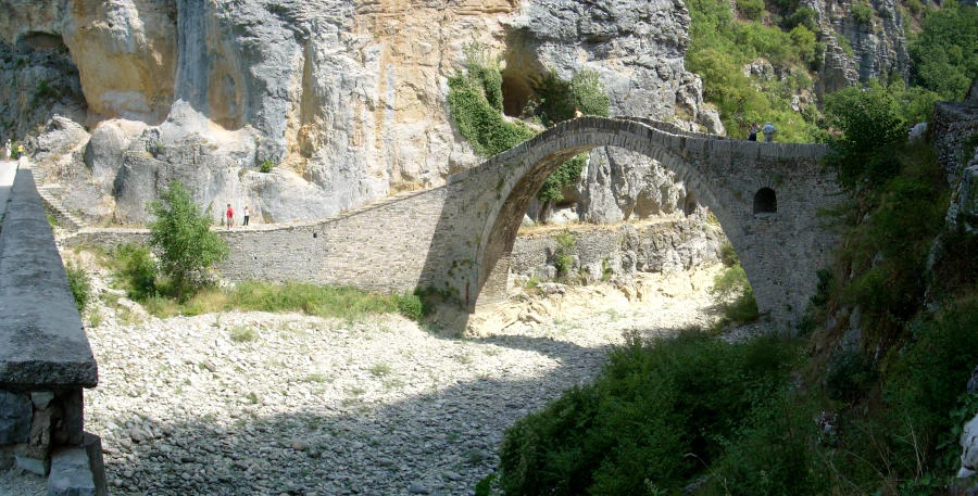
The Tajik part of the Fergana Valley lies at the country’s northern edge. Shared with neighbouring countries, the valley was on one of the historic Silk Road routes between Kashgar and Samarkand; cities such as Khujand held strategic positions along that corridor. Istaravshan is noted for its history of trade and craftsmanship, while Khujand is an urban reference point for orienting yourself toward Zeravshan, Dushanbe or Uzbekistan. These connections describe historic geography; they do not guarantee an easy route between all these places today.
Choosing a region, with practical limits in mind
Fergana and Zeravshan offer different priorities: an alpine valley with historic sites, or northern cities associated with trade and craftsmanship. The regional entry for Zeravshan describes it as accessible from Dushanbe and from Samarkand, Uzbekistan; treat this as general guidance, not a promise of direct transport. In Fergana, present-day borders cross a historically connected area, and the consulted source warns of border disputes and a disputed section of the road between Khujand and Isfara/Konibodom. Before fixing any overland crossings, check the latest situation and official guidance.
What to check before booking
Dushanbe is the capital and a useful starting reference, but it does not by itself determine how to reach each region. Tajik and Russian are languages recorded for the country, and the currency is the Tajik somoni. For planning, confirm the entry requirements that apply to your nationality, available transport and the state of the roads with the relevant official sources. Visa information in a guide you consult may be out of date; do not treat it as confirmation of current rules.
Sources and references
Hide references
14 references
References consulted during editorial review. Times, requirements and advisories may change: always confirm with the official source.
-
Central AsiaLicence: CC BY-SA 4.0 Wikivoyage contributors · Central Asia
-
Ferghana Valley (Tajikistan)Licence: CC BY-SA 4.0 Wikivoyage contributors · Ferghana Valley (Tajikistan)
-
Ishkashim (Tajikistan)Licence: CC BY-SA 4.0 Wikivoyage contributors · Ishkashim (Tajikistan)
-
Afganistán - WikiviajesLicence: CC BY-SA 4.0 Wikivoyage contributors · Afganistán - Wikiviajes
-
Kirguistán - WikiviajesLicence: CC BY-SA 4.0 Wikivoyage contributors · Kirguistán - Wikiviajes
-
Tayikistán - WikiviajesLicence: CC BY-SA 4.0 Wikivoyage contributors · Tayikistán - Wikiviajes
-
Uzbekistán - WikiviajesLicence: CC BY-SA 4.0 Wikivoyage contributors · Uzbekistán - Wikiviajes
-
Zeravshan ValleyLicence: CC BY-SA 4.0 Fuente: Wikivoyage
-
TayikistánLicence: CC0 1.0 Wikidata · Q863
-
TajikistanLicence: ODbL 1.0 World countries dataset by mledoze and contributors · ODbL 1.0
-
DushanbeLicence: Datos geográficos bajo CC BY 4.0; requiere atribución a GeoNames. Fuente: GeoNames
-
DushanbeLicence: Datos geográficos bajo CC BY 4.0; requiere atribución a GeoNames. Fuente: GeoNames
-
TajikistanLicence: CC BY-SA 3.0 DBpedia
-
Jamoats of TajikistanLicence: CC BY-SA 3.0 DBpedia