Kiritimati
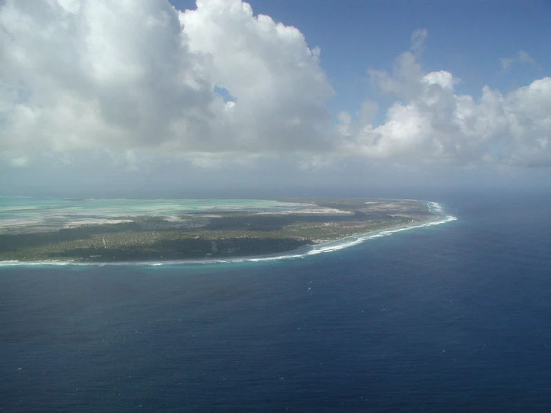
Kiritimati is an atoll in Kiribati’s Line Islands, where the lagoon and intertidal flats shape the pace of a visit. Its main draws include guided fishing outings and birdwatching, including the Kiritimati reed warbler.
Explore the place →Places in context: profiles connected to our guides, maps, sources and verified photographs.
Kiritimati is an atoll in Kiribati’s Line Islands, where the lagoon and intertidal flats shape the pace of a visit. Its main draws include guided fishing outings and birdwatching, including the Kiritimati reed warbler.
Explore the place →
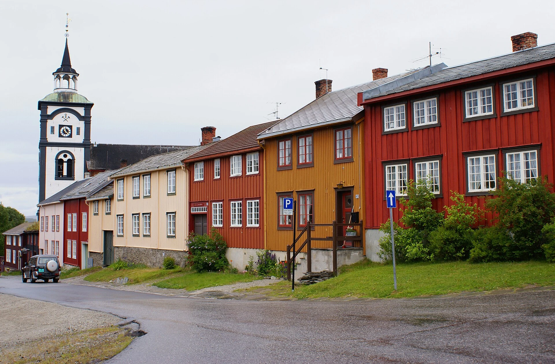
Kjerkgata is a street in Røros, a mining town that remains inhabited. Its courtyards, stables and homes help show how mining work coexisted with domestic life.
Explore the place →
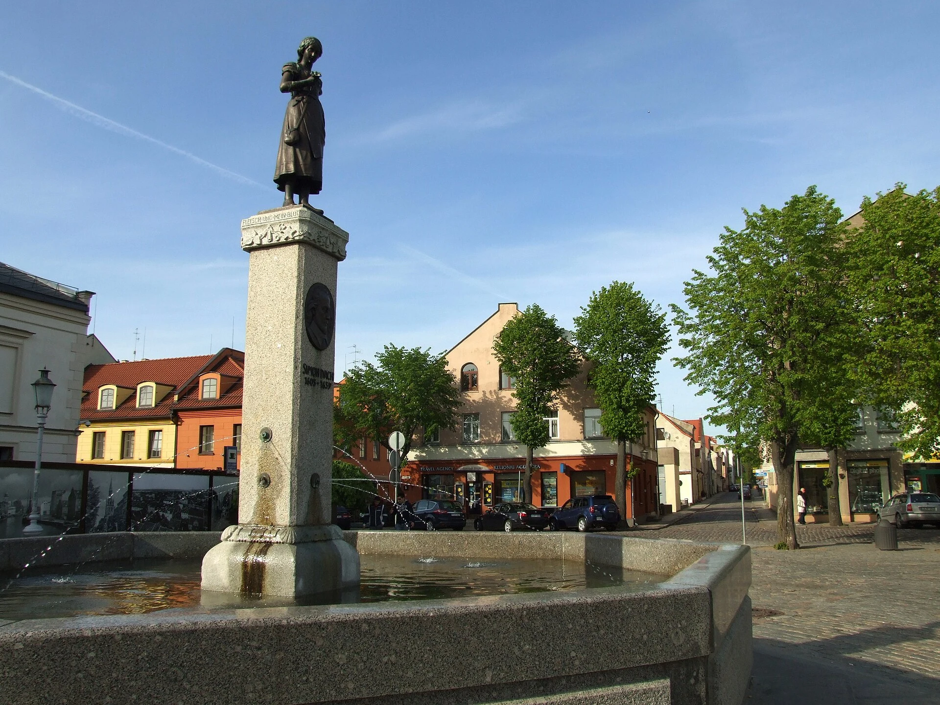
Klaipėda is a practical starting point for crossing to Smiltynė and exploring the Curonian Spit. From there, ferry and local bus connections link the settlements of Neringa.
Explore the place →
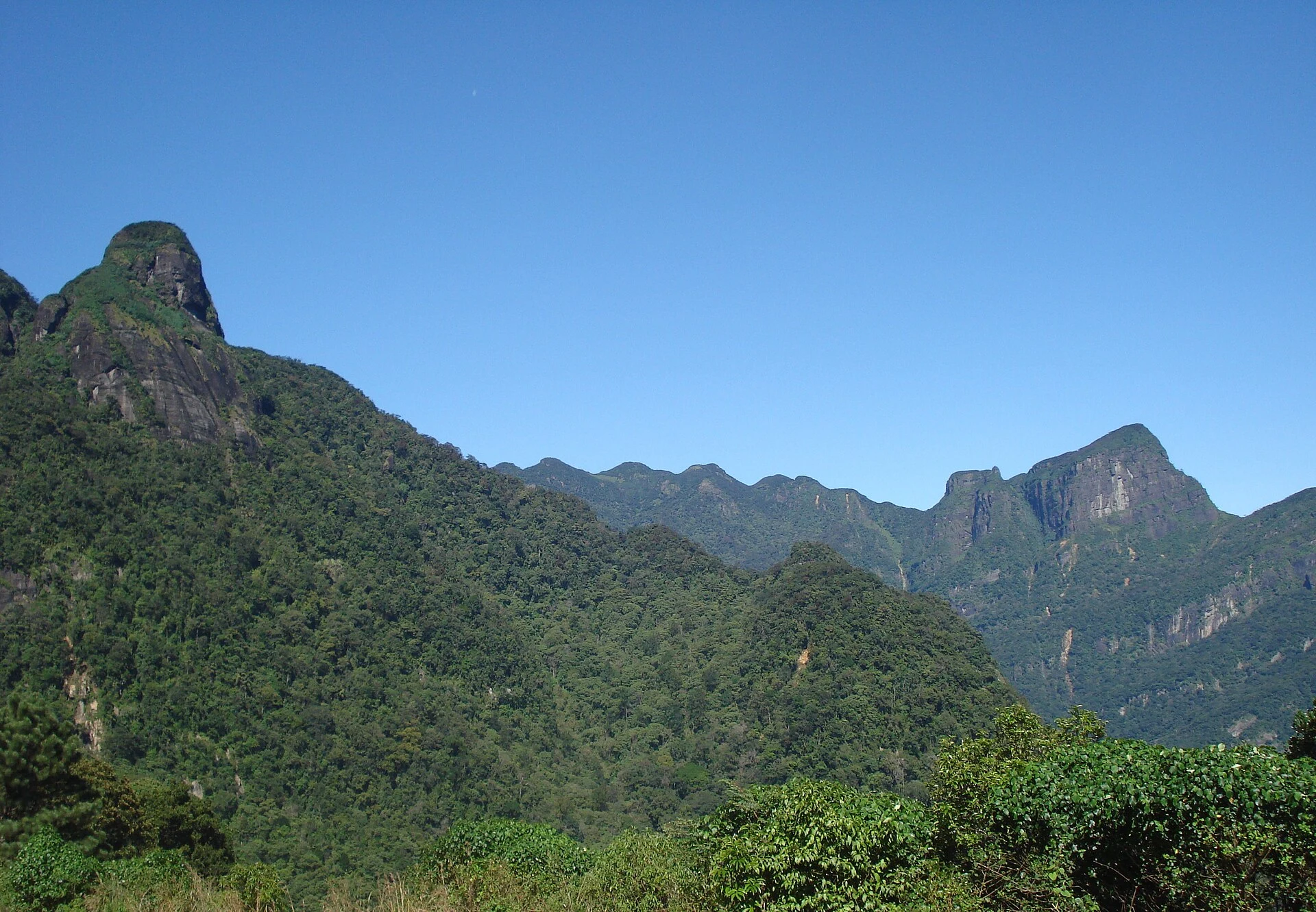
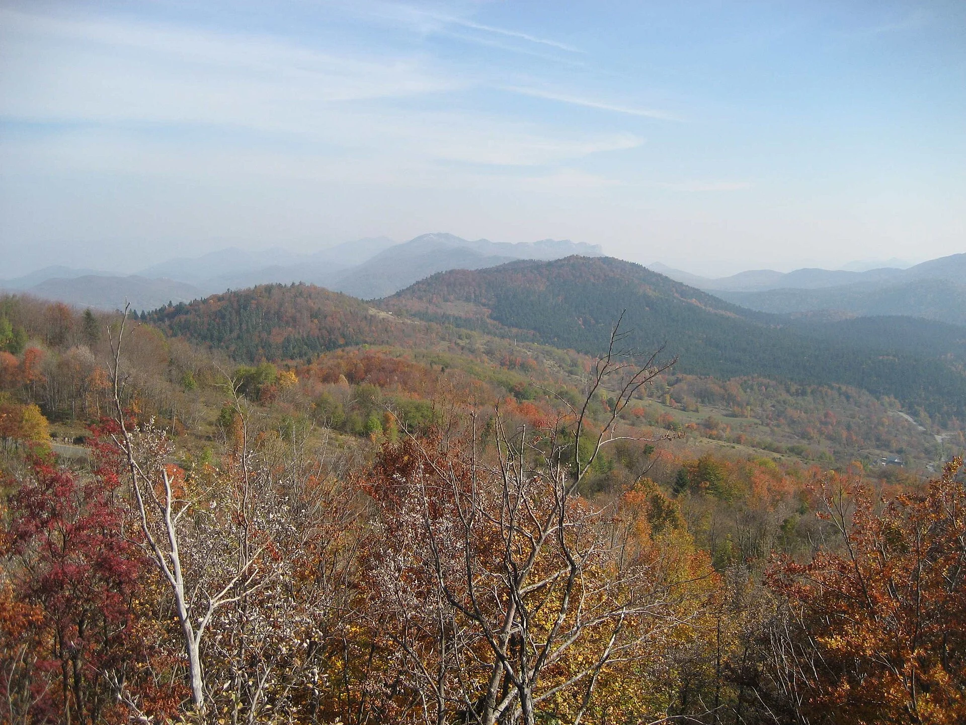
Knuckles is a mountain range in Sri Lanka with forests, grasslands and valleys. Fog and steep terrain shape the walks: Deanston has defined trails, while Riverston and Pitawala Pathana offer more open routes.
Explore the place →
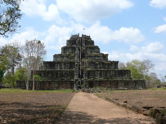
Koh Ker is a spread-out former Khmer capital, with temples, water reservoirs and traces of urban planning. Prasat Thom and its pyramid form the main focus of a visit best explored at an unhurried pace.
Explore the place →
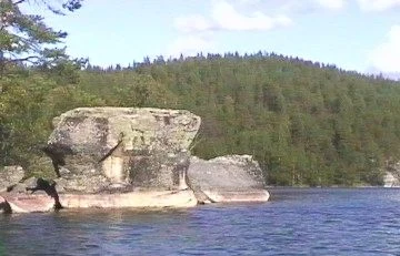
Kolovesi National Park is a lake landscape for travelling by canoe, kayak or rowing boat through narrow channels, rock faces and forest. Motorboats are prohibited in much of the park.
Explore the place →
Konaev is named as the setting for Tamgaly-Tas, a rock sanctuary beside the Ili River with Buddhist images and inscriptions in Tibetan and Oirat scripts.
Explore the place →
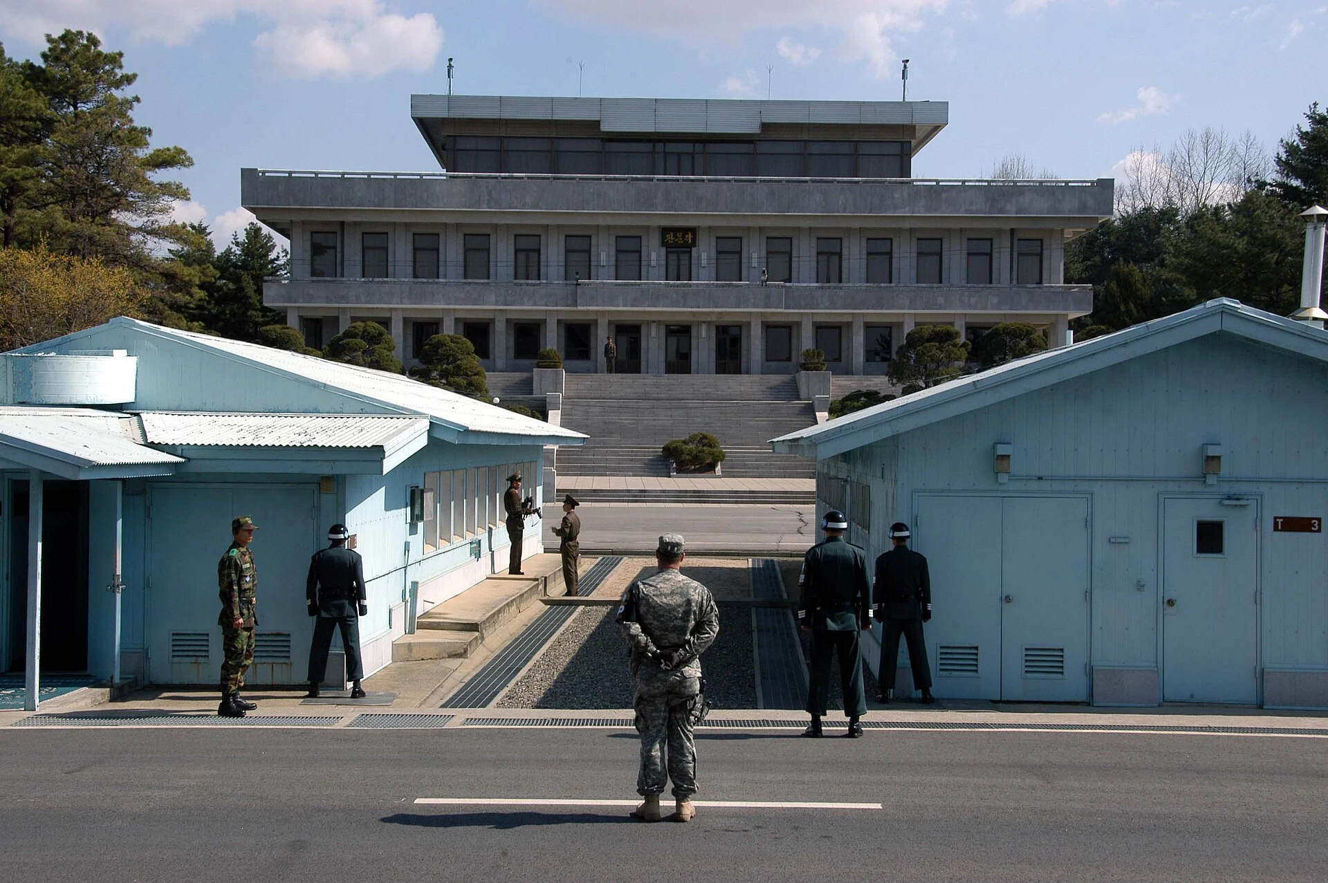
The Demilitarized Zone offers context for understanding the peninsula’s division, the armistice and the border through visits to nearby areas from South Korea.
Explore the place →
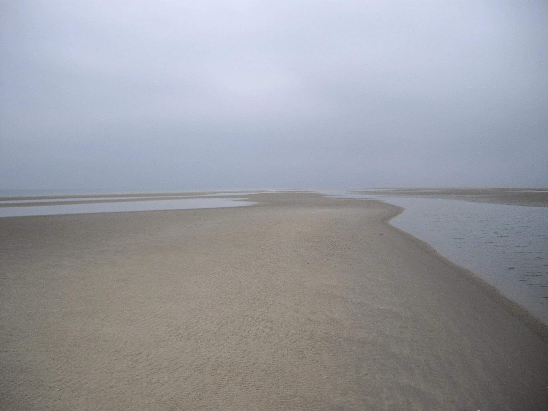
Koresand is a large sandbank southwest of Mandø, where raised sand, salt marsh and open sea meet. Guided excursions offer a way to experience this tidal landscape.
Explore the place →
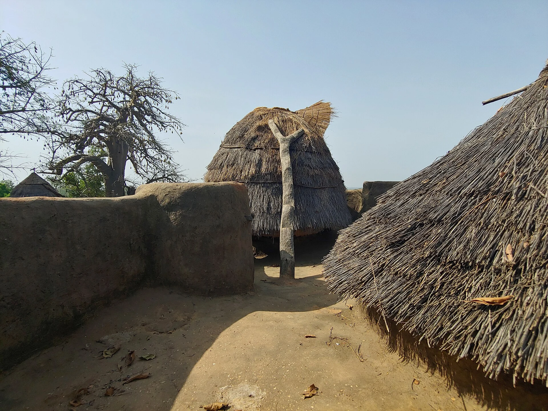
Koutammakou is an inhabited cultural landscape in northeastern Togo, extending towards Benin, where takienta form part of family, agricultural, ritual and community life. Visiting requires consent, local mediation and a fresh security assessment.
Explore the place →
Krasno is mentioned as a possible starting point for arranging local access to Zavižan and Northern Velebit National Park. It can serve as a base for planning a mountain walk, provided transport is sorted out before setting off.
Explore the place →
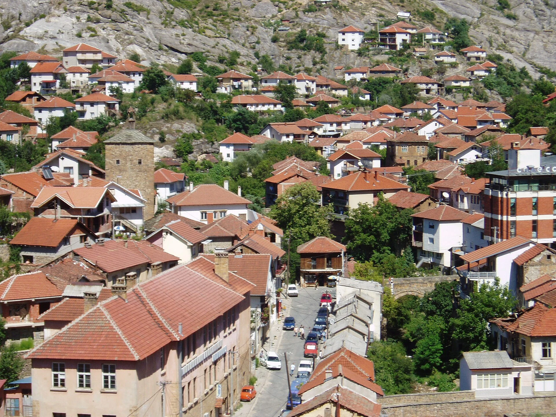
Kratovo is a historic settlement of sloping streets, stone bridges and towers, with a layout shaped by hillsides and ravines. Its old town and mining past are best explored at an unhurried pace.
Explore the place →
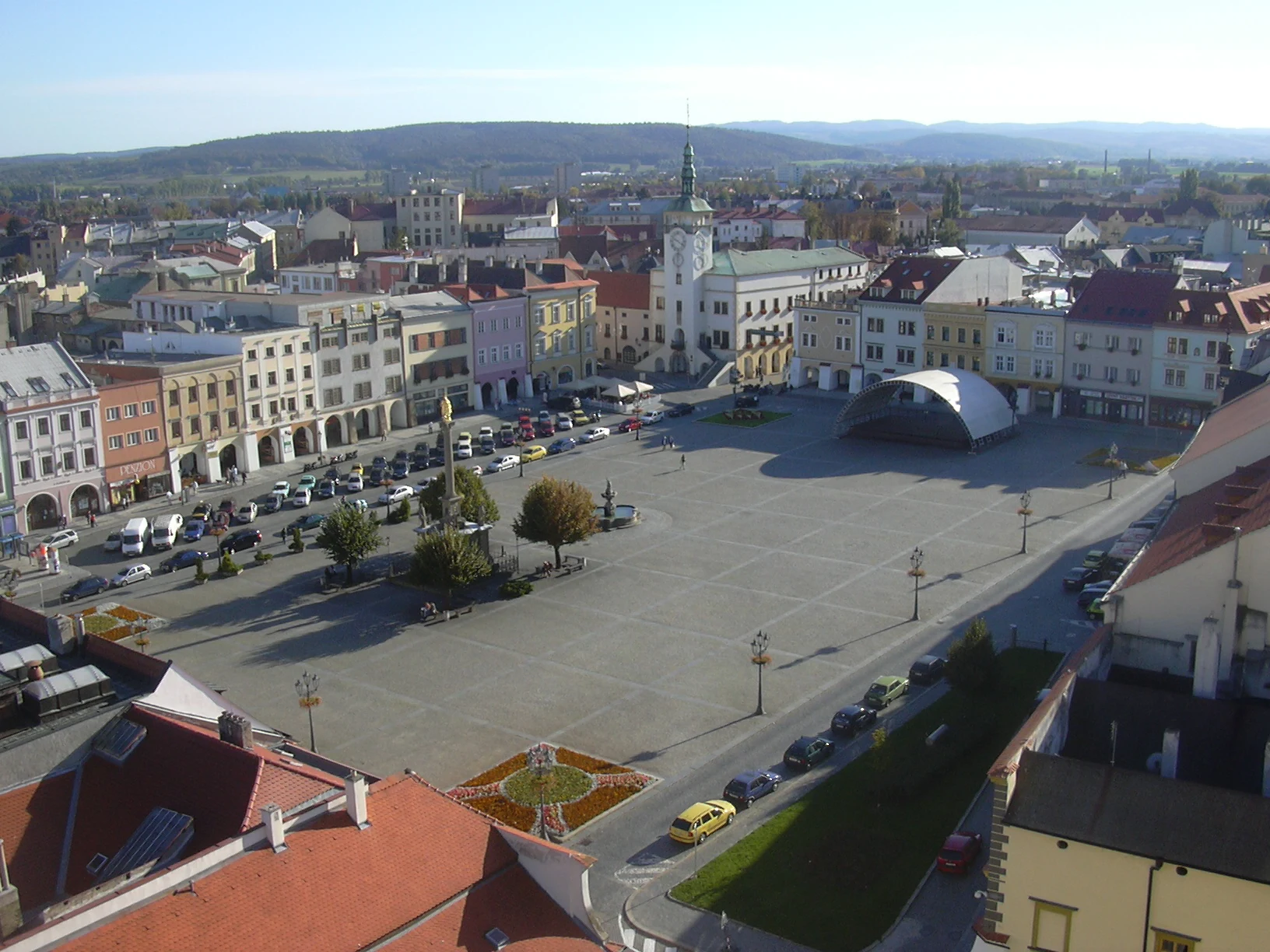
Kroměříž invites visitors to explore a group of sites comprising the archbishop’s palace and two very different gardens: one formal and geometric, the other expansive and landscaped. A full day allows time to take in each place without rushing.
Explore the place →
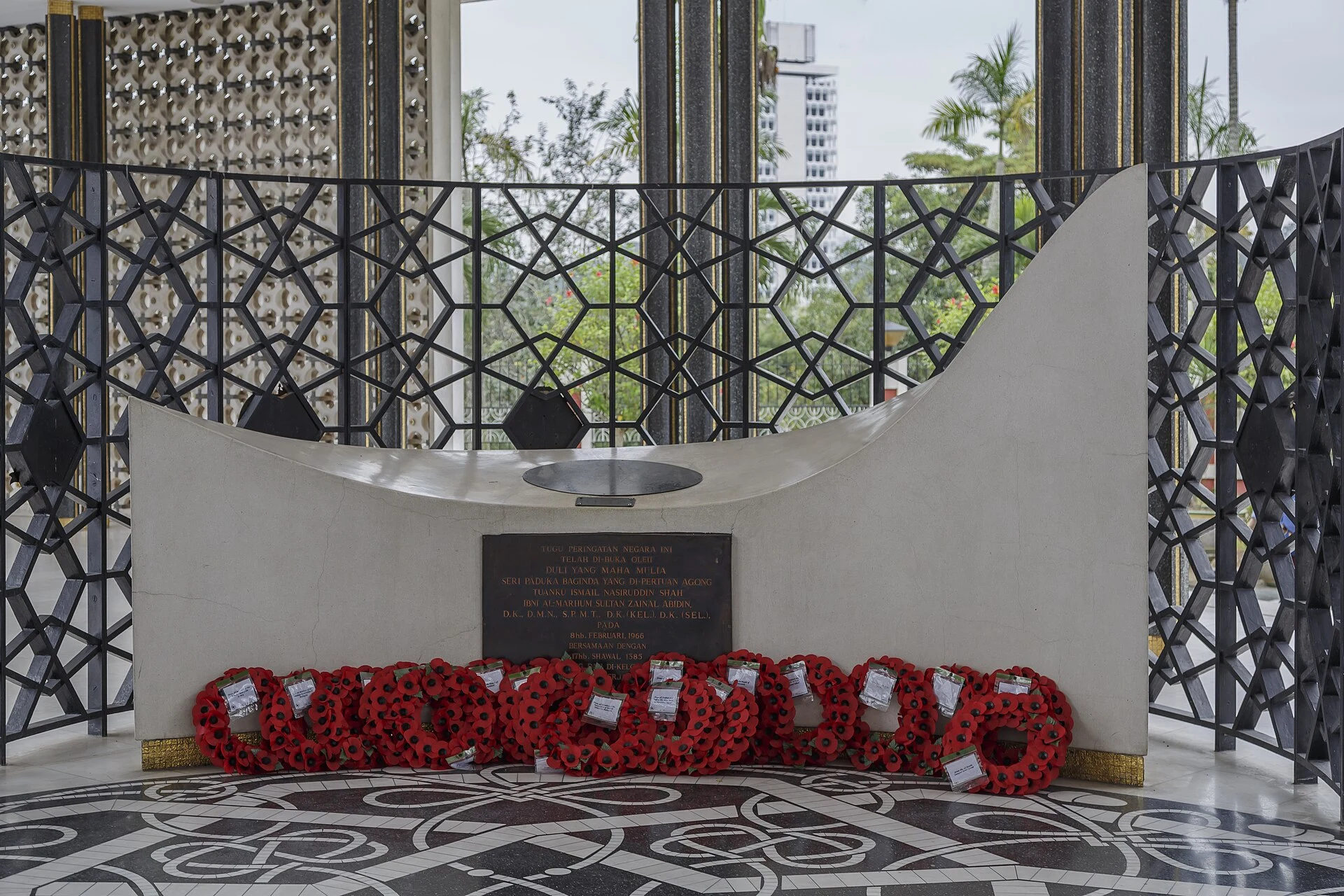
Kuala Lumpur is Malaysia’s capital and a reference point for planning the first part of a trip. The available information does not describe its neighbourhoods or confirm current services or connections.
Explore the place →
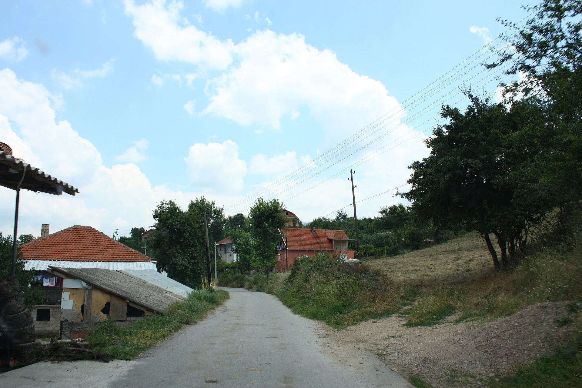
Kuklica is a geological landscape of earth pillars and pyramids shaped by the erosion of volcanic and river materials. Its fragile forms are best viewed from the designated paths and viewpoints.
Explore the place →
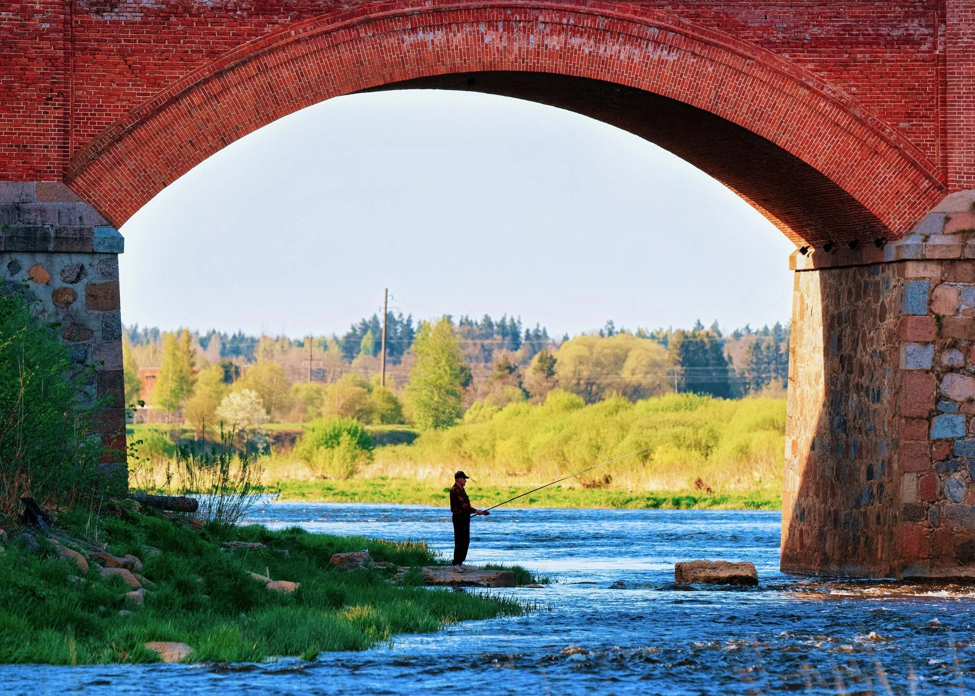
Kuldīga is best explored on foot between the Alekšupīte stream and the Venta River. Its historic centre, waterside houses, brick bridge and Ventas Rumba waterfall form a connected walk through streets and along the riverbank.
Explore the place →The article presents the Kumoso Depression as the landscape beyond the Nyakazu escarpment in southeastern Burundi. The fault separates it from the central plateau, offering a broad view of the region’s terrain.
Explore the place →
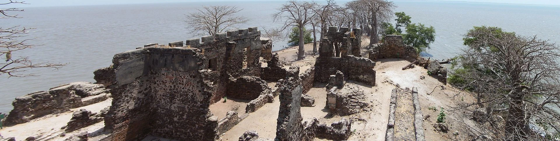
Kunta Kinteh Island, in the Gambia River, preserves the ruins of a fort associated with control of river traffic. Its history is best understood alongside Albreda and Juffureh, in a landscape of fragile remains and riverside communities.
Explore the place →