Samoa · City or town
Mulifanua
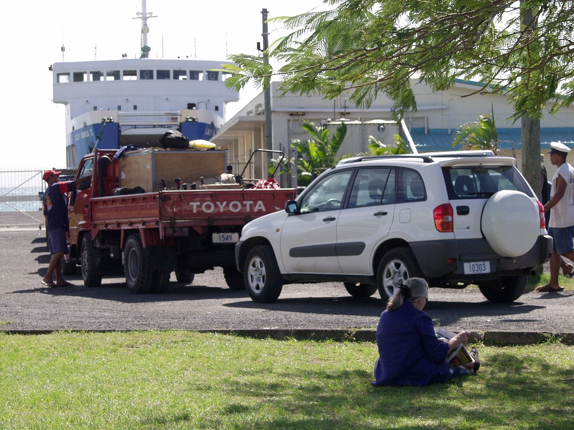
Mulifanua, on Upolu, is the Samoan point named for the ferry crossing to Salelologa on Savaiʻi. The crossing usually takes between 60 and 90 minutes.
Explore the place →Places in context: profiles connected to our guides, maps, sources and verified photographs.
Mulifanua, on Upolu, is the Samoan point named for the ferry crossing to Salelologa on Savaiʻi. The crossing usually takes between 60 and 90 minutes.
Explore the place →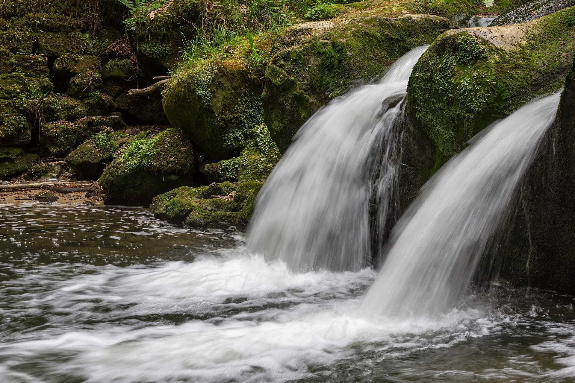
Müllerthal is a region of trails, water, rock and linked communities. Its Mullerthal Trail has three loops totalling about 112 km, each with different terrain, elevation and demands.
Explore the place →The MUPRE, in Capo di Ponte’s historic centre, presents Val Camonica rock art in seven sections and relates the images to objects and practices of the societies that lived in the valley.
Explore the place →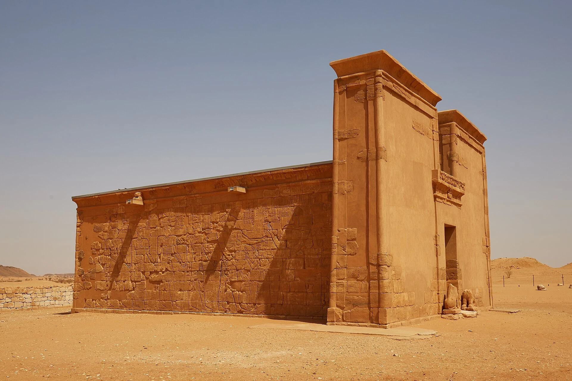
Musawwarat es-Sufra is a Kushite monumental complex with a large enclosure of courtyards, corridors and rooms, as well as structures associated with water management.
Explore the place →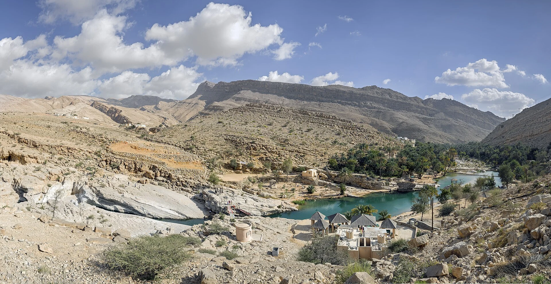
Muscat, also known as Mascate, is the capital of Oman. The articles identify it as an administrative reference but do not provide enough detail to plan journeys, visits or services in the city.
Explore the place →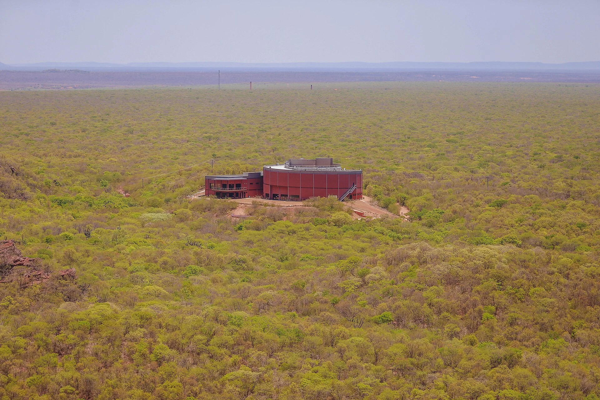
Near Coronel José Dias, the Museu da Natureza offers a multisensory experience about climate change, fauna, flora and the formation of the landscape.
Explore the place →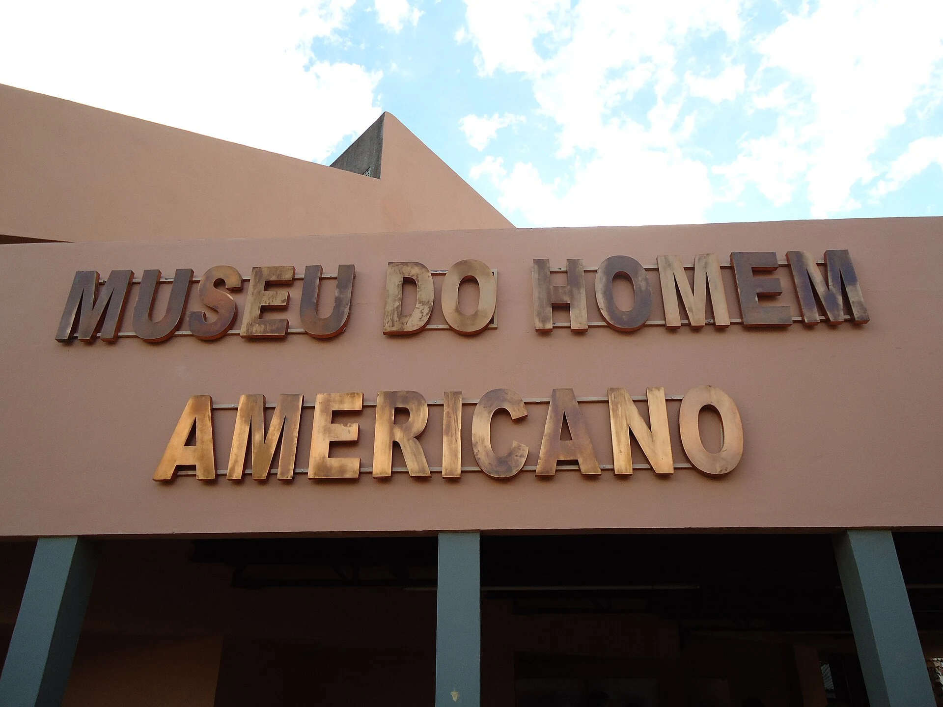
In São Raimundo Nonato, the Museu do Homem Americano displays materials from regional archaeological research, with resources about the area's rock paintings.
Explore the place →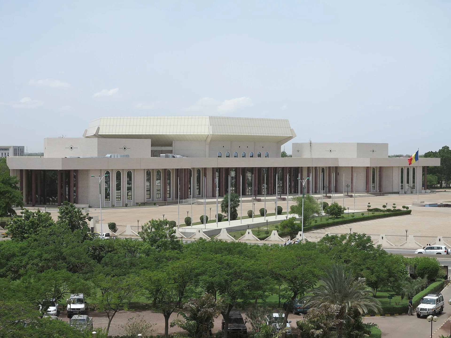
N'Djamena is Chad's capital and a reference point for orientation in the country. The available information does not detail the city's current attractions, services or connections.
Explore the place →N’Zérékoré can serve as a regional base for arranging services and communications in Forest Guinea. Reaching the city does not confirm access to the Mount Nimba reserve, which requires separate authorization and planning.
Explore the place →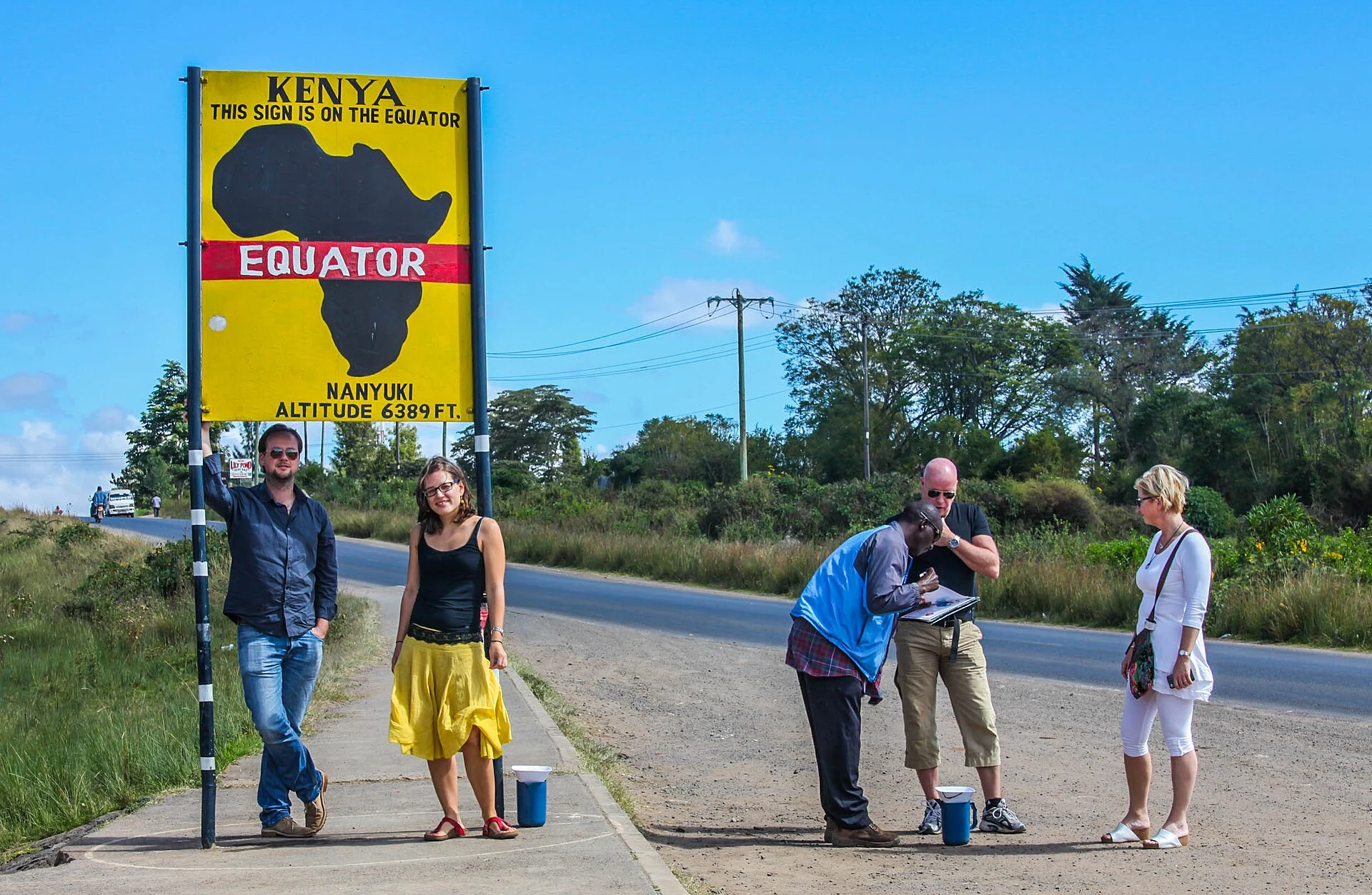
Nairobi is the capital of Kenya and is located in Nairobi County. This profile identifies the city, but it does not establish routes or current transport services.
Explore the place →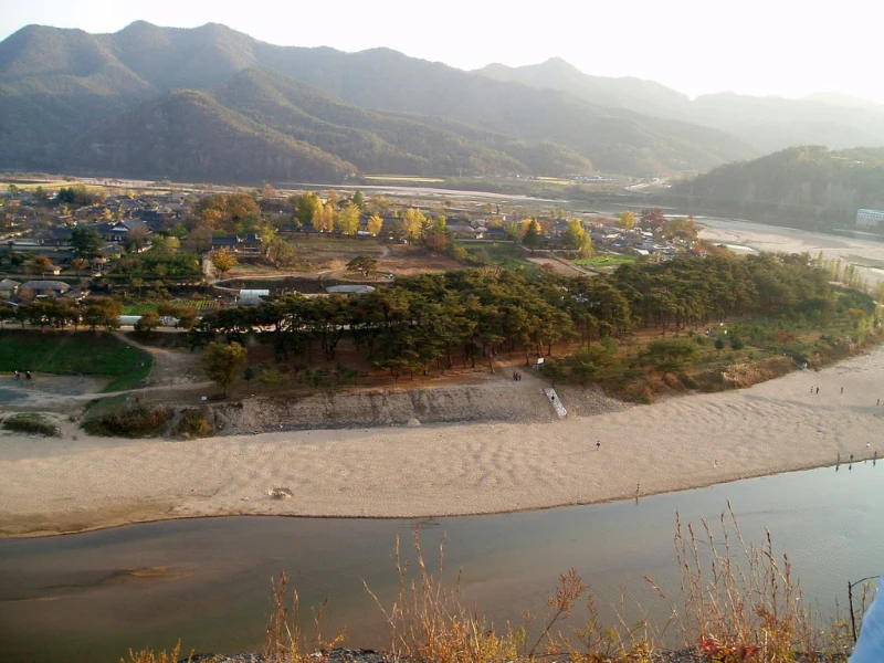
The Nakdong River features in the article as part of Hahoe’s landscape: its curve, together with the houses, fields and woodland, helps explain the village’s social and historical layout. At Byeongsan, the river is also part of the academy’s setting.
Explore the place →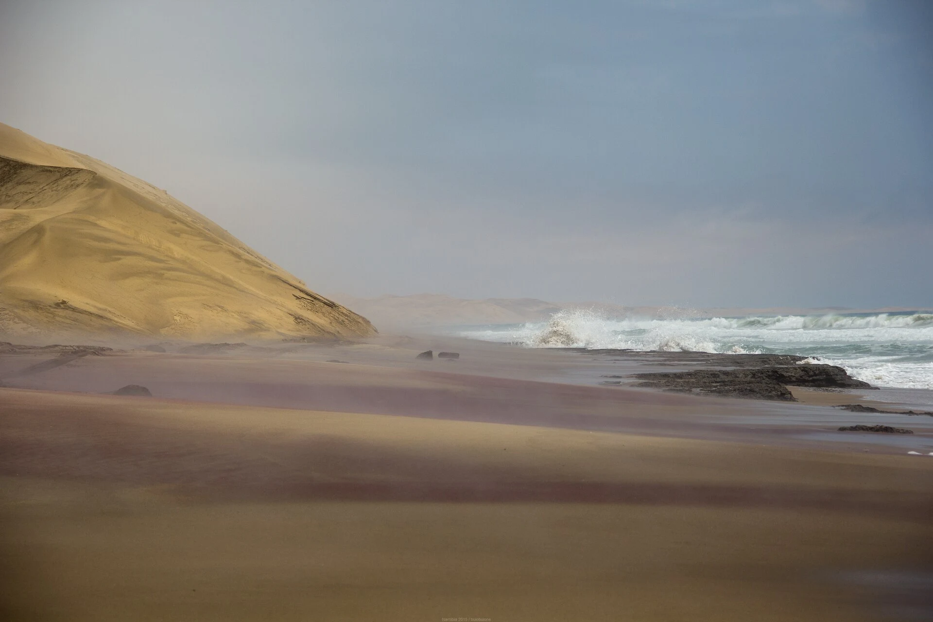
The Namib Sand Sea is a landscape of active dunes and Atlantic fog in an extremely arid environment. It is inscribed on the World Heritage List for its geological and ecological processes.
Explore the place →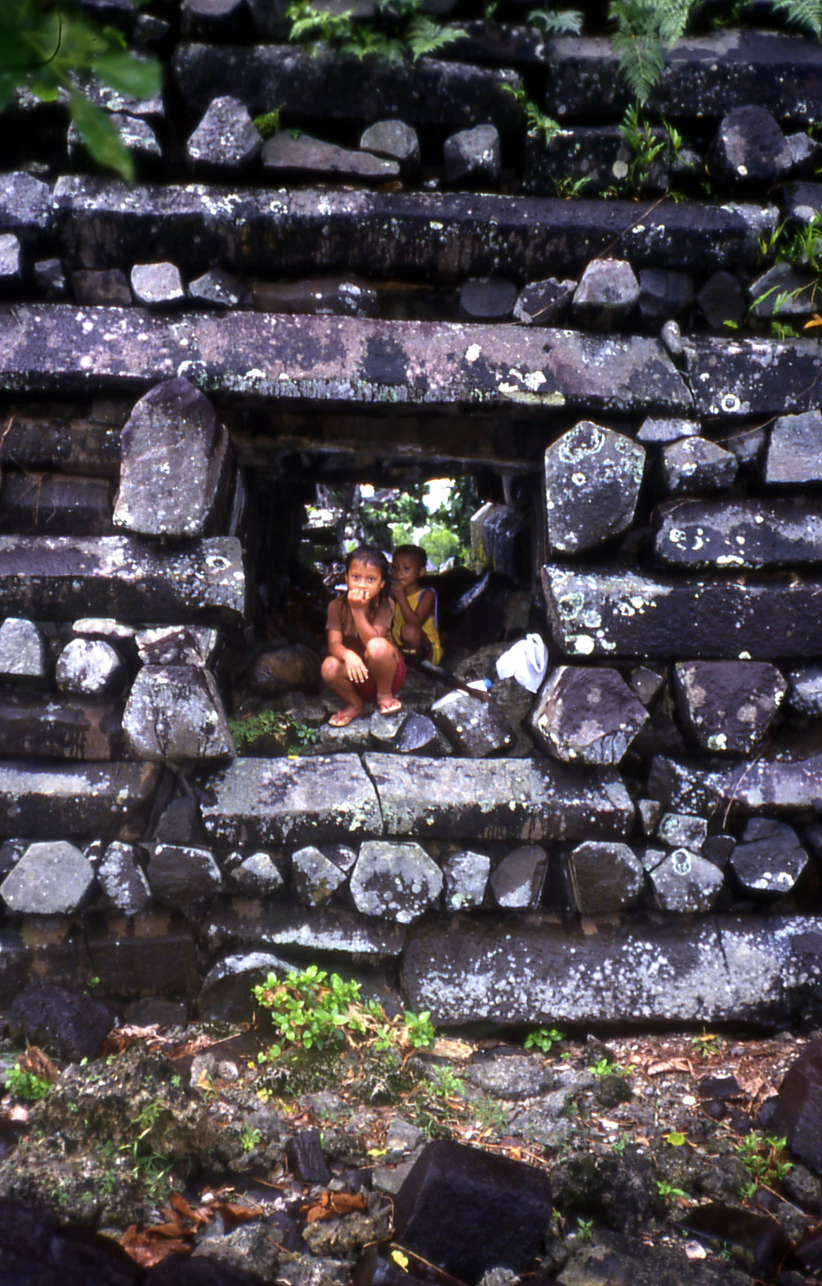
Nan Madol is a ceremonial center built on artificial islets in Pohnpei’s lagoon. Its basalt walls, channels and enclosures are best understood on a visit planned around the tide and changing access conditions.
Explore the place →Nanny Goat Beach is among the southern Sapelo Island stops included on some guided tours. The itinerary may also visit Hog Hammock, the Reynolds Mansion and other sites, depending on the day's program.
Explore the place →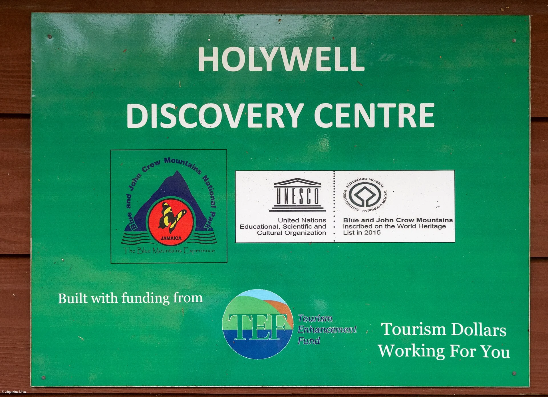
Nanny Town is an archaeological site connected with Jamaica’s Maroon history. Its mountain setting formed part of its defense and links it to the landscape of the Blue and John Crow Mountains.
Explore the place →
Nanyuki is identified as an access point associated with Sirimon, the northern approach to Mount Kenya. Its relevance here is planning that route and its connections; the source provides no further details about the town itself.
Explore the place →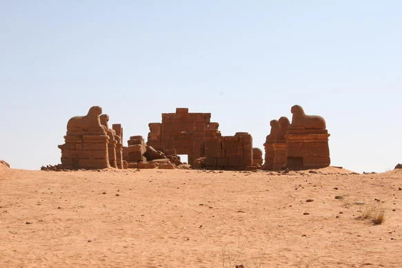
Naqa is a Kushite religious center known for its temples and reliefs, which reflect visual traditions shared and reinterpreted in the Kushite world.
Explore the place →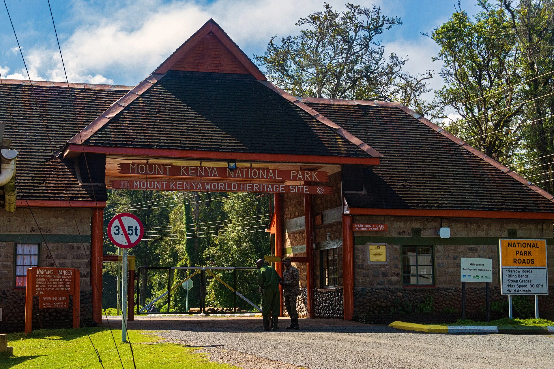
Naro Moru is a settlement associated with a Mount Kenya gateway on the southwestern flank. Its route offers a direct approach from the Naro Moru and Nyeri area, but it should not be used to justify a rushed ascent.
Explore the place →