Bangladesh regions from tea plantations to archaeological ruins
Bangladesh features tea landscapes in the northeast, rivers and mangroves in the south, and archaeological remains in the west. Comparing these regions helps define priorities before arranging connections and visits.
Northeast: Tea Plantations and Rural Life
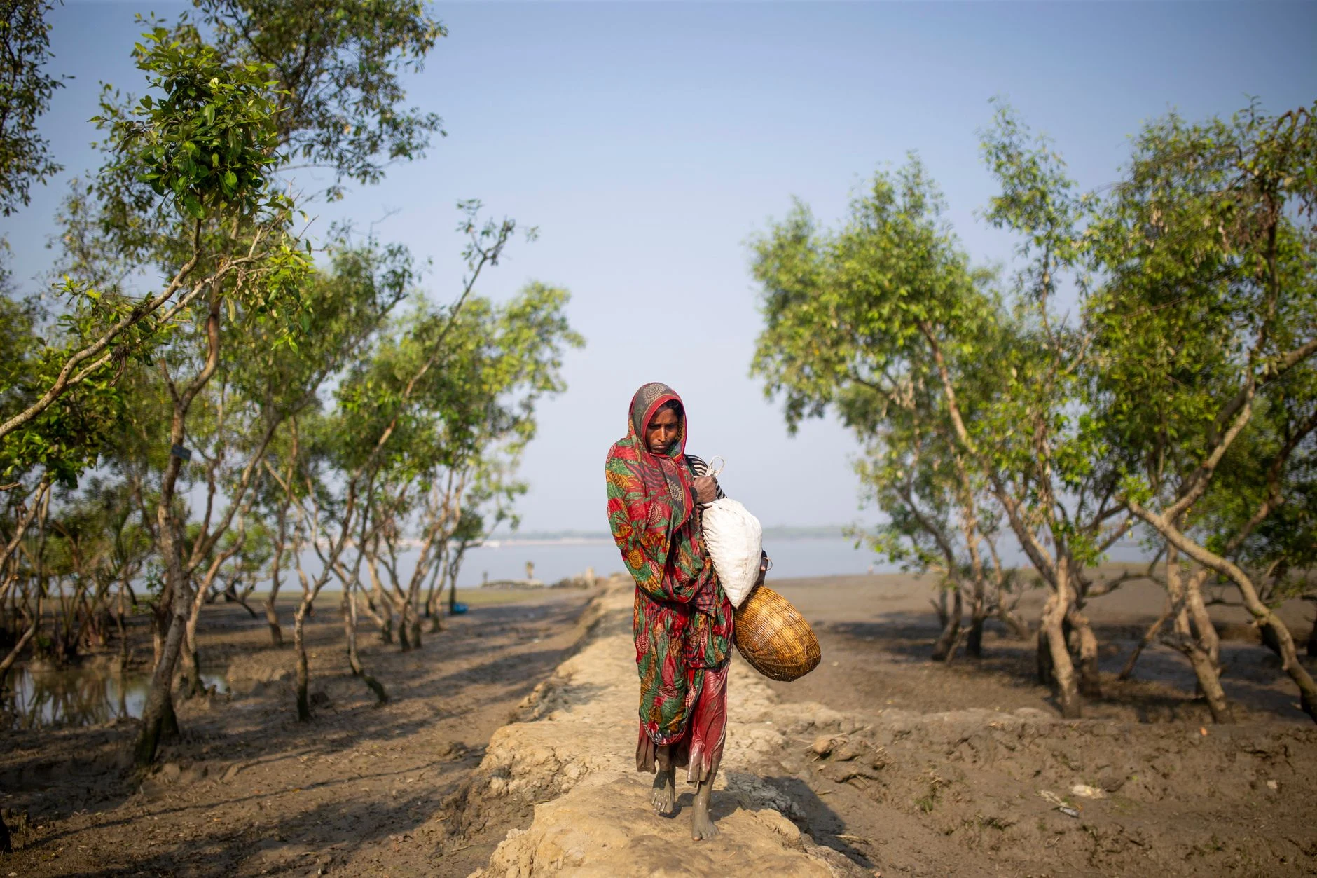
Sylhet and Srimangal help orient you to the northeast, a region defined by its tea crops and rural lifestyle. The Ratargul swamp forest and the Haor basin are also mentioned as other landscapes in the area. If you are drawn to a visit focused on the environment and local traditions, this region offers a different approach than the major cities. Available information does not detail specific itineraries or access conditions: check separately how to reach each site and which services are operational during your dates. Tea and landscape are the guiding threads here, not a guarantee that the various stops form a simple excursion.
South: Water, Mangroves, and Historic Sites
The south combines river-linked cities with places of historical interest. Barisal is distinguished by its rivers and rice cultivation; the region also includes the Bangladeshi part of the Sundarbans, a vast mangrove forest. Khulna and Mongla appear as potential bases for excursions into the forest, but connections and specific logistics must be verified before building an itinerary. In Bagerhat, historic mosques allow you to shift scale and focus the visit on built heritage. Rivers, mangroves, and religious architecture are different reasons to choose this region; they should not be treated as a single compact stop.
West: Archaeological Ruins and Urban Centers
Rajshahi is a reference point for a route oriented toward archaeology: the region is associated with ancient ruins, as well as silk and mangoes. Naogaon is listed as the location of Paharpur Vihar, and Bagerhat also stands out for its historic mosques, although it is located in the south and should not be confused with a visit to the west. Rangpur, for its part, is a commercial center in the northwest and preserves buildings and institutions with their own historical trajectories, such as the Tajhat Palace and Carmichael College. Before prioritizing a monument, verify its current status and access; available information does not guarantee schedules or services. Archaeology and architecture can be the center of the trip, but they require distinguishing dispersed locations rather than linking them by their regional name.
Choose an Axis Before Finalizing Connections
A useful first decision is to select the main motive: tea landscapes in the northeast, water and mangroves in the south, or archaeological heritage in the west. Dhaka serves as a national reference, but available information is insufficient to confirm connections, transfer durations, or a practical route between regions. Check transport and visit conditions directly before setting dates; do not assume service data remains valid. To expand the context of two specific zones, consult the guides on Sonargaon and Bagerhat. A priority region is usually a more realistic starting point than attempting to cover the country without verified information on travel.
Sources and references
Hide references
14 references
References consulted during editorial review. Times, requirements and advisories may change: always confirm with the official source.
-
BangladeshLicence: CC BY-SA 4.0 Wikivoyage contributors · Bangladesh
-
Rangpur (Bangladesh)Licence: CC BY-SA 4.0 Wikivoyage contributors · Rangpur (Bangladesh)
-
Southern BangladeshLicence: CC BY-SA 4.0 Wikivoyage contributors · Southern Bangladesh
-
Northeastern BangladeshLicence: CC BY-SA 4.0 Wikivoyage contributors · Northeastern Bangladesh
-
Bangladés - WikiviajesLicence: CC BY-SA 4.0 Wikivoyage contributors · Bangladés - Wikiviajes
-
Naogaon DistrictLicence: CC BY-SA 4.0 Fuente: Wikivoyage
-
BangladeshLicence: CC0 1.0 Wikidata · Q1592924
-
BangladeshLicence: ODbL 1.0 World countries dataset by mledoze and contributors · ODbL 1.0
-
DhakaLicence: Datos geográficos bajo CC BY 4.0; requiere atribución a GeoNames. Fuente: GeoNames
-
BangladeshLicence: CC BY-SA 3.0 DBpedia
-
Bangladesh Standard TimeLicence: CC BY-SA 3.0 DBpedia
-
Bangladesh Nationalist PartyLicence: CC BY-SA 3.0 DBpedia
-
DhakaLicence: CC BY-SA 3.0 DBpedia