Bolivian Altiplano: How to Choose Between Salt Flats, Cities, and Mountains
The Altiplano combines Andean cities, lakes, mountains, and vast salt landscapes. Distinguishing distances, altitude, and visit types helps you set priorities and verify logistics before departure.
Conditions described in the guide: confirm current requirements and access with the official source before travelling.
A Plateau of Distinct Elevations and Landscapes
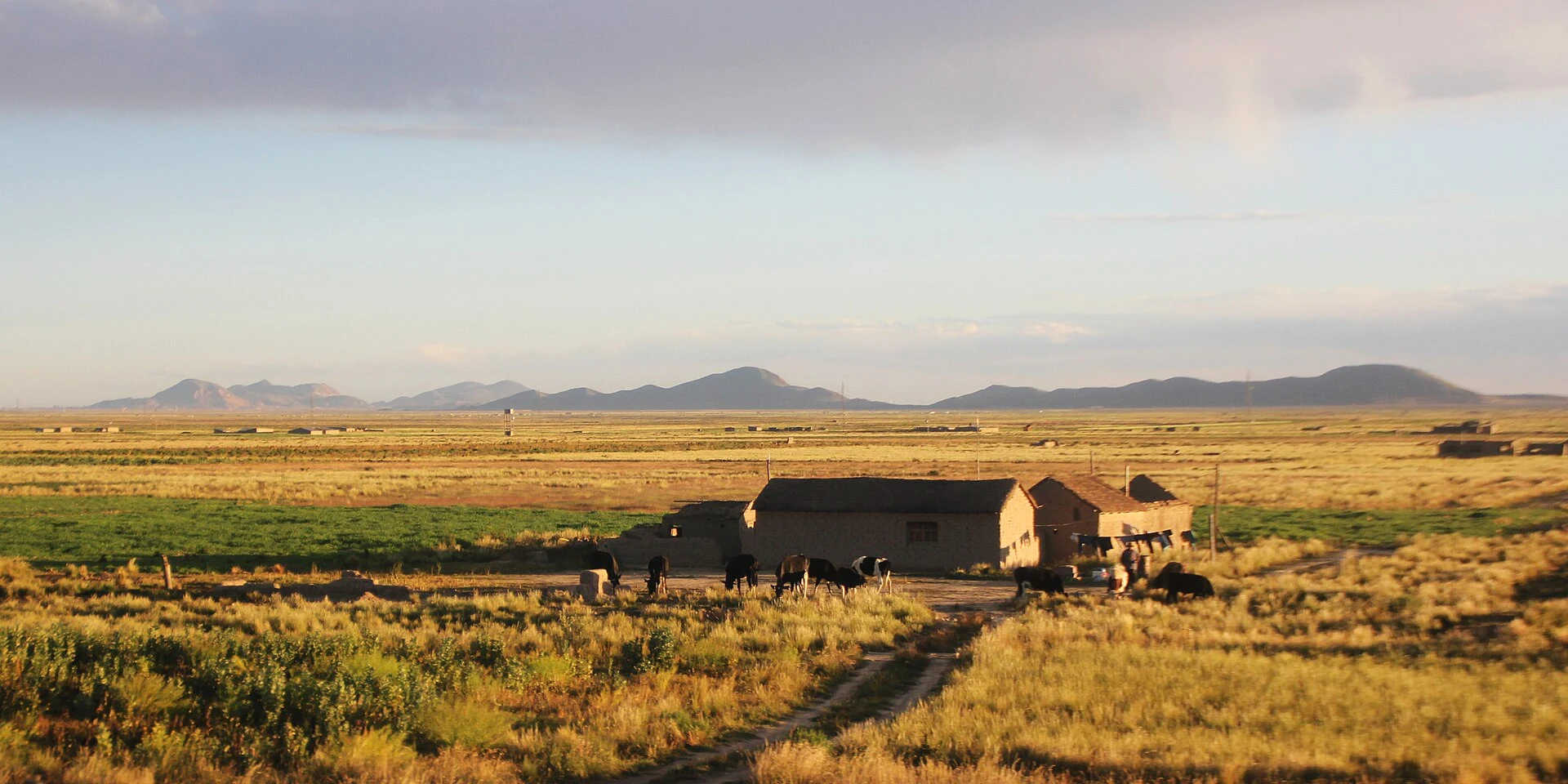
Altitude is a general characteristic of the Altiplano, but the landscape is not uniform: the region combines steppe, mountain ranges, canyons, and volcanoes. La Paz, Oruro, Potosí, Copacabana, and Tupiza are among its cities; Lake Titicaca and Sajama National Park expand the range toward water and high mountain scenery. It is not advisable to treat these places as interchangeable excursions from a single base: the region covers several departments, and each destination requires checking its own logistics.
The Salar de Uyuni Requires a Scale Decision
The salt flat, located at around 3,700 meters, stands out for its flat, white expanse. Nearby, the Colorada and Verde lagoons and the Stone Tree add other landscapes to your choice. A visit centered on the salt flat is not equivalent to touring all these points: regional guides describe a multi-day route toward the Chilean border as an option. Before setting dates, confirm with the operator or relevant local source what the itinerary includes, how long it lasts, and the current conditions.
City, Heritage, and Mountain: Other Priorities
Those who prefer to combine city life and heritage can consider Tiwanaku, an archaeological site located about an hour and a half from La Paz; the transfer time must be verified before organizing a trip. For a day focused on the city, La Paz offers a distinct urban scale compared to the open plain. In contrast, Sajama National Park is associated with Andean landscapes and trails described as demanding: it is not an equivalent alternative to an urban visit, and access and conditions must be checked before departure.
Altitude Changes the Pace of Decision-Making
With regional destinations situated at high altitude, the order of travel matters: do not automatically group city visits, hiking, and salt flat excursions into a tight itinerary. Available information does not establish a universal medical guideline or current conditions for each route; consult appropriate health recommendations for your case and confirm the effort, transport, and availability with local providers. In the Bolivian winter, noted in the source as June and July, temperatures can drop significantly; prepare adequate warm clothing and check the forecast and destination conditions.
Sources and references
Hide references
14 references
References consulted during editorial review. Times, requirements and advisories may change: always confirm with the official source.
-
Altiplano (Bolivia)Licence: CC BY-SA 4.0 Wikivoyage contributors · Altiplano (Bolivia)
-
BoliviaLicence: CC BY-SA 4.0 Wikivoyage contributors · Bolivia
-
Santa Cruz (city, Bolivia)Licence: CC BY-SA 4.0 Wikivoyage contributors · Santa Cruz (city, Bolivia)
-
Bolivia - WikiviajesLicence: CC BY-SA 4.0 Wikivoyage contributors · Bolivia - Wikiviajes
-
Sucre (Bolivia) - WikiviajesLicence: CC BY-SA 4.0 Wikivoyage contributors · Sucre (Bolivia) - Wikiviajes
-
La Paz (Bolivia) - WikiviajesLicence: CC BY-SA 4.0 Wikivoyage contributors · La Paz (Bolivia) - Wikiviajes
-
Altiplano (Bolivia) - WikiviajesLicence: CC BY-SA 4.0 Wikivoyage contributors · Altiplano (Bolivia) - Wikiviajes
-
La PazLicence: CC BY-SA 4.0 Fuente: Wikivoyage
-
Beni (Bolivia)Licence: CC BY-SA 4.0 Fuente: Wikivoyage
-
Santa Cruz (department, Bolivia)Licence: CC BY-SA 4.0 Fuente: Wikivoyage