Central Mozambique’s Cities, River Crossings, and Mountain Landscapes
Beira, Chimoio, and Tete serve as key references for navigating central Mozambique. The Zambezi River, Gorongosa National Park, and Mount Binga highlight the region's diversity. Verify current connections and conditions before finalizing your itinerary.
Three cities with distinct functions
Beira, the capital of Sofala and a port city, serves as a potential overnight stop on journeys between the north and south. Chimoio, the capital of Manica, is described as a transport node linked to Beira, Zimbabwe, and Malawi, and as a reference point for approaching Chimanimani National Park and Mount Binga. Tete, meanwhile, appears as a possible stopover for travel to or from Malawi and Zimbabwe. These are orientation points, not a guaranteed route: check transport, timings, and availability separately for your specific dates.
The Zambezi as a geographic reference
The Zambezi River structures much of the regional geography. Cahora Bassa, located on the river, is a hydroelectric dam; Caia is noted for the vehicular crossing situated there, and Mutarara, also known as Vila de Sena, for its railway bridge. These references help explain why the river matters when planning movements, but they do not confirm that specific services are available. Verify the status and operation of each crossing before relying on it.
From the valley to the mountains
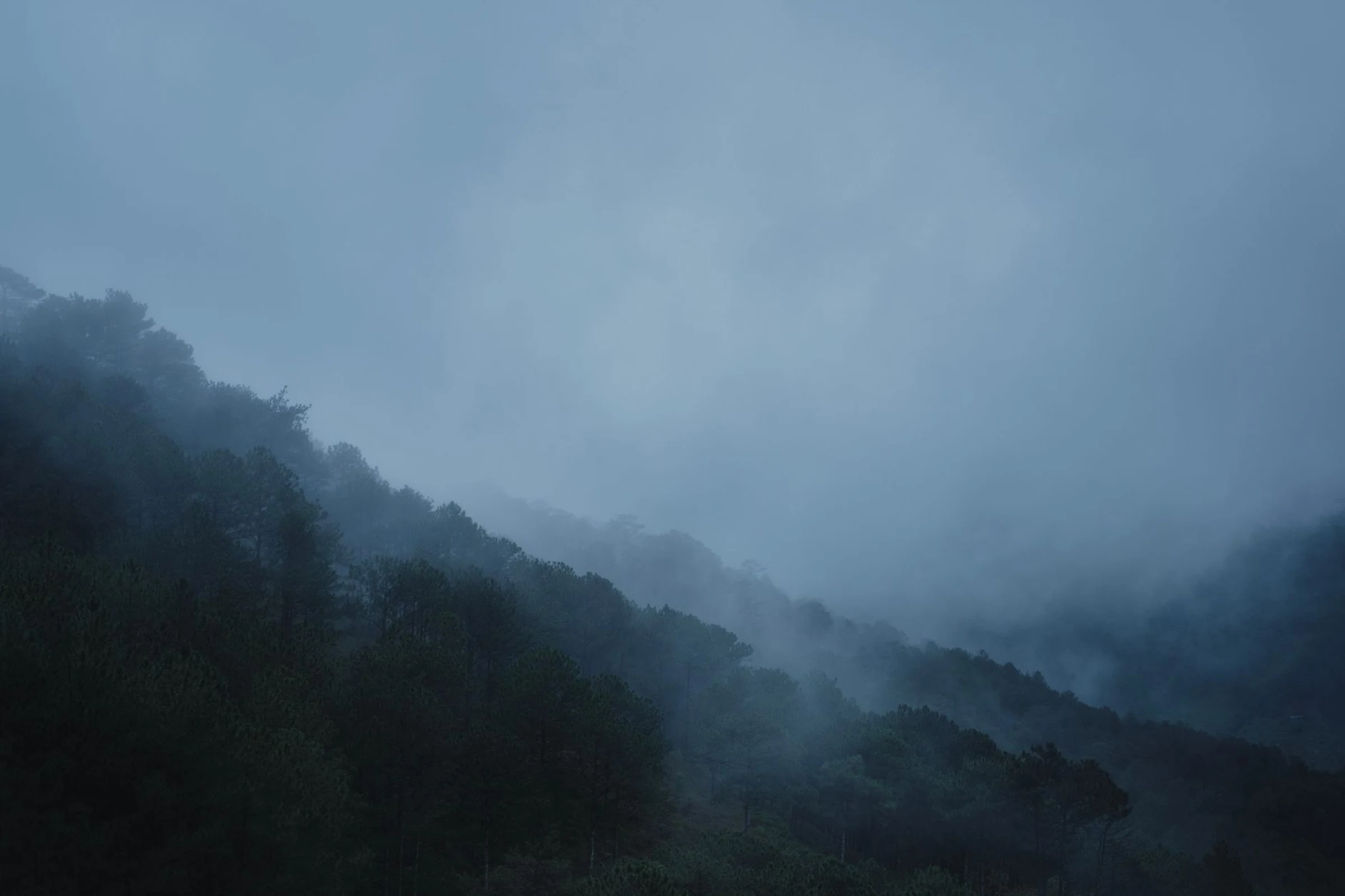
Gorongosa National Park comprises the floor of a valley in the Great Rift Valley and parts of the surrounding plateaus, watered by rivers that originate near Mount Gorongosa. It is a standout reference for a trip focused on landscapes and wildlife. Further west, Chimoio serves as a noted starting point for Chimanimani and Mount Binga, identified in available information as the highest peak in Mozambique. These are distinct environments: valley and plateaus on one hand; mountains on the other. The evidence does not specify access, routes, or physical effort, so these details must be confirmed before choosing.
Turning references into a plan
First, decide what interests you most: an urban stopover in Beira or Tete, the Zambezi landscape, Gorongosa, or the mountainous environment of Chimanimani. Then, check current connections between these areas; do not assume that a mention of a road, bridge, or city as a node equates to an operational service. The regional profile also mentions an airport in Quelimane, but provides no routes or frequencies: confirm with the relevant source if it is useful for your dates. Allow margin to review logistics and avoid fixing stages based solely on distances or names on the map.
Sources and references
Hide references
14 references
References consulted during editorial review. Times, requirements and advisories may change: always confirm with the official source.
-
Central MozambiqueLicence: CC BY-SA 4.0 Wikivoyage contributors · Central Mozambique
-
Diving in MozambiqueLicence: CC BY-SA 4.0 Wikivoyage contributors · Diving in Mozambique
-
Ilha de MozambiqueLicence: CC BY-SA 4.0 Wikivoyage contributors · Ilha de Mozambique
-
MozambiqueLicence: CC BY-SA 4.0 Wikivoyage contributors · Mozambique
-
Mozambique - WikiviajesLicence: CC BY-SA 4.0 Wikivoyage contributors · Mozambique - Wikiviajes
-
Malaui - WikiviajesLicence: CC BY-SA 4.0 Wikivoyage contributors · Malaui - Wikiviajes
-
Esuatini - WikiviajesLicence: CC BY-SA 4.0 Wikivoyage contributors · Esuatini - Wikiviajes
-
Zimbabue - WikiviajesLicence: CC BY-SA 4.0 Wikivoyage contributors · Zimbabue - Wikiviajes
-
Gorongosa National ParkLicence: CC BY-SA 4.0 Fuente: Wikivoyage
-
MozambiqueLicence: CC0 1.0 Wikidata · Q1029
-
MozambiqueLicence: CC0 1.0 Wikidata · Q5793520
-
MozambiqueLicence: CC0 1.0 Wikidata · Q12126300
-
MozambiqueLicence: CC0 1.0 Wikidata · Q83609705
-
MozambiqueLicence: CC BY-SA 3.0 DBpedia