Ecuador: Choosing a Region Among the Andes, Amazon, Coast, and Islands
Ecuador features four distinct travel regions. Understanding what each offers helps you set priorities and verify transfers before finalizing your itinerary.
Four regions, four scales of travel
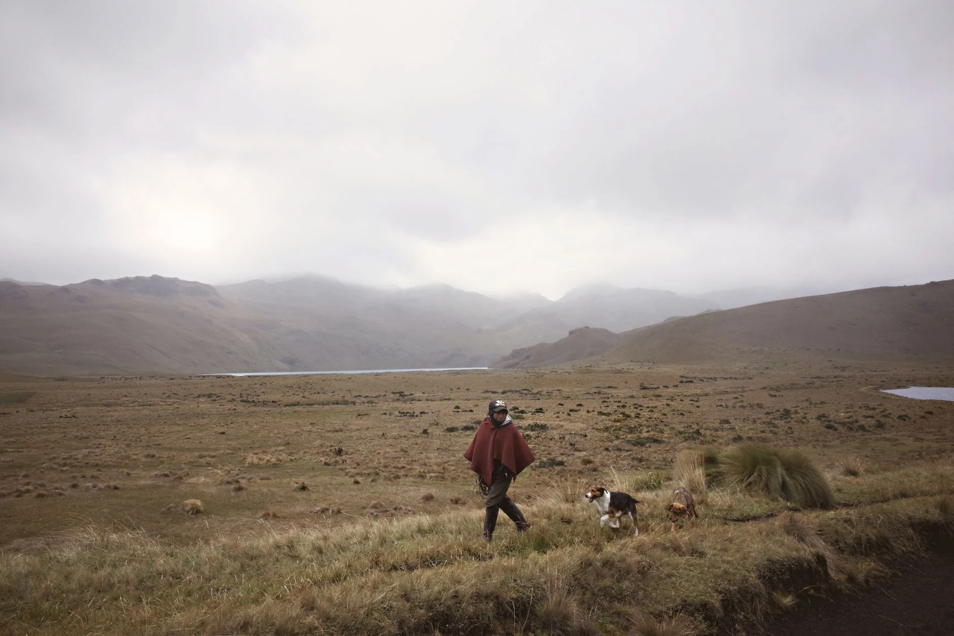
The Ecuadorian Amazon spans six provinces and combines access cities with tropical forest areas. The Andean Sierra gathers cities, volcanoes, and high-altitude parks; the coast adds urban centers and Pacific-side localities, while Galápagos is an island archipelago. Choosing a region first helps avoid an itinerary that treats places belonging to different landscapes and logistics as if they were close. Geographic variety is a tool for prioritization, not a promise that everything can be easily combined.
The Sierra: cities, heritage, and altitude
Quito and Cuenca are urban references with historic centers of colonial architecture; Quito’s profile highlights the extent and preservation of its old town. Further south, Riobamba appears as a starting point for excursions toward Chimborazo and Sangay National Park. The Andes also feature volcanoes such as Cotopaxi and Cayambe. Altitude changes significantly within the region: before choosing hikes or ascents, verify the altitude and specific conditions of each activity, rather than assuming that an urban visit and a mountain outing require the same effort. Heritage and high-altitude landscapes may share a region, but not necessarily the same plan.
Amazon: a visit requiring more preparation
The Amazon region extends across Sucumbíos, Orellana, Napo, Pastaza, Morona Santiago, and Zamora Chinchipe. Among its references are Coca, described as a gateway for those heading to the jungle, and reserves and parks such as Cuyabeno, Limoncocha, and Yasuní. The consulted source recommends having a guide, group, or jungle lodging due to the knowledge required for the visit; this is general guidance, not a confirmation of availability or current requirement. The journeys described from Quito to Tena or Lago Agrio are long, and their operational data can change: confirm transport, access, and local conditions before committing to nights or connections.
Coast and islands: better as separate priorities
The Ecuadorian coast offers cities and coastal localities; Manta, for example, combines port activity and beaches, while Puerto López figures as access to Machalilla National Park and Isla de la Plata. Galápagos appears as a differentiated island region, recognized in the evidence for its unique fauna. It is not advisable to assume that a connection or excursion is available just because it appears in a general description: check current links and services for your chosen dates. If the trip includes multiple regions, reserve margin for transfers and confirm connections to the islands separately. Coast and Galápagos require distinct logistical decisions.
How to turn the map into a practical decision
Start with the main reason for the trip—city and heritage, mountain, Amazon forest, coast, or island life—and choose a priority region. Then, verify routes, real times, access to parks, and requirements for specific activities with their official sources or current providers. Spanish and the US dollar are useful references for daily logistics, but they do not allow you to deduce prices or entry conditions. For additional initial orientation on the capital, you can consult Quito, Spanish and the dollar help you get your bearings in Ecuador. Plan by regions and confirm each transfer before linking distant places.
Sources and references
Hide references
14 references
References consulted during editorial review. Times, requirements and advisories may change: always confirm with the official source.
-
Amazon (Ecuador)Licence: CC BY-SA 4.0 Wikivoyage contributors · Amazon (Ecuador)
-
Andean Highlands (Ecuador)Licence: CC BY-SA 4.0 Wikivoyage contributors · Andean Highlands (Ecuador)
-
EcuadorLicence: CC BY-SA 4.0 Wikivoyage contributors · Ecuador
-
Zamora (Ecuador)Licence: CC BY-SA 4.0 Wikivoyage contributors · Zamora (Ecuador)
-
Perú - WikiviajesLicence: CC BY-SA 4.0 Wikivoyage contributors · Perú - Wikiviajes
-
Ecuador - WikiviajesLicence: CC BY-SA 4.0 Wikivoyage contributors · Ecuador - Wikiviajes
-
Cuenca (Ecuador) - WikiviajesLicence: CC BY-SA 4.0 Wikivoyage contributors · Cuenca (Ecuador) - Wikiviajes
-
Manta (Ecuador) - WikiviajesLicence: CC BY-SA 4.0 Wikivoyage contributors · Manta (Ecuador) - Wikiviajes
-
QuitoLicence: CC BY-SA 4.0 Fuente: Wikivoyage
-
EcuadorLicence: CC BY-SA 3.0 DBpedia