Planning a trip across Suriname's contrasting regions
Paramaribo’s historic centre, the wetlands of Bigi Pan, former plantations on the eastern coast and the rivers of the interior offer very different trips. Your choice also depends on which transport links you can confirm for each destination.
Paramaribo as an urban and historical reference point
The capital’s historic centre is on the UNESCO World Heritage List. Fort Zeelandia, a former Dutch fort, helps put part of the city’s colonial history into context. Paramaribo is also described as a starting point for trips to other parts of the country, but that does not guarantee specific connections: check current transport and services separately. If you want to spend a day in the centre, see this walking route through Waterkant, Palmentuin and Fort Zeelandia. Urban heritage and regional logistics are separate considerations when planning.
East coast: plantations and riverside journeys
The eastern districts include former plantations, some still in use and others abandoned or in ruins. There are also villages beside rivers and sea-turtle nesting beaches on the northeastern coast. The main coastal road runs across the north, but some destinations cannot be reached by car and may require a boat, bicycle or walking. Minibuses operate in some places, though they may not have fixed schedules or run every day. Confirm each leg using current information before relying on a connection or choosing a riverside destination.
West coast: Bigi Pan and the wetlands
The west coast is known for its birdlife; the Bigi Pan Nature Reserve includes open water, mudflats and mangroves. Nieuw Nickerie is the region’s main urban reference point. One guide gives the road distance between Paramaribo and Nieuw Nickerie as about 237 km, but distance alone does not indicate journey time or current road conditions. The same source lists accommodation options in the area without confirming their present availability. Wetlands and birds may shape your priorities, provided you check transport, accommodation and conditions before travelling.
Interior: Amazon rainforest, rivers and limited mobility
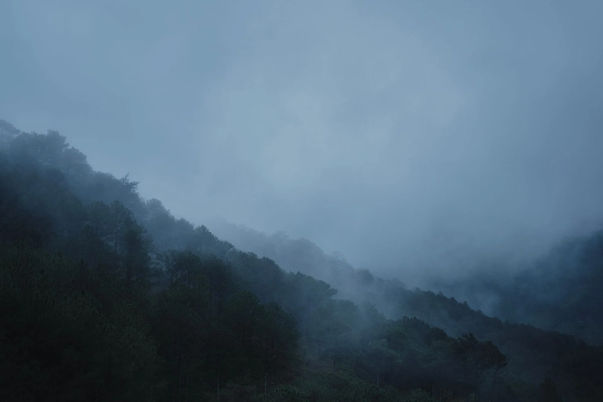
The interior districts are part of the Amazon region and are largely covered in tropical rainforest; the Sipaliwini savanna lies in the southwest. Reaching many destinations may involve a combination of road and boat travel. Once there, local options are often limited to walking or travelling by boat. Rapids on some rivers make independent journeys risky, so do not improvise a trip. Access and local mobility are central to the decision, not details to leave until the end.
How to compare regions before booking
Start by choosing the focus of your trip: urban heritage in Paramaribo, plantation remains in the east, wetlands in the west, or rainforest and rivers in the interior. Then confirm how to get there, what transport operates in the area and whether the services you need are available. Do not assume that roads connect every destination or that a route described previously still runs on the same schedule or fares. For an initial overview of the country and basic details, also consult Suriname and Paramaribo as a base for verifying your trip. A realistic route starts with confirmed connections and clear priorities.
Sources and references
Hide references
14 references
References consulted during editorial review. Times, requirements and advisories may change: always confirm with the official source.
-
SurinameLicence: CC BY-SA 4.0 Wikivoyage contributors · Suriname
-
West Coast (Suriname)Licence: CC BY-SA 4.0 Wikivoyage contributors · West Coast (Suriname)
-
East Coast (Suriname)Licence: CC BY-SA 4.0 Wikivoyage contributors · East Coast (Suriname)
-
Surinamese RainforestLicence: CC BY-SA 4.0 Wikivoyage contributors · Surinamese Rainforest
-
Surinam - WikiviajesLicence: CC BY-SA 4.0 Wikivoyage contributors · Surinam - Wikiviajes
-
Guayana Francesa - WikiviajesLicence: CC BY-SA 4.0 Wikivoyage contributors · Guayana Francesa - Wikiviajes
-
Guyana - WikiviajesLicence: CC BY-SA 4.0 Wikivoyage contributors · Guyana - Wikiviajes
-
Indonesian cuisineLicence: CC BY-SA 4.0 Fuente: Wikivoyage
-
Surinam (Dutch colony)Licence: CC BY-SA 3.0 DBpedia
-
ParamariboLicence: CC BY-SA 3.0 DBpedia