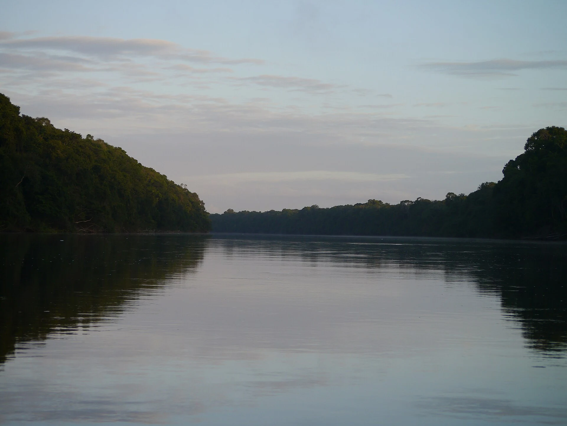
Rift Lakes, Gedeo, and Bale Mountains in Southern Ethiopia
In southern Ethiopia, the Great Rift Valley combines lakes and natural areas, while the Gedeo cultural landscape offers a different perspective on the territory. Available information helps locate these sites, but it does not plan current connections or visits.
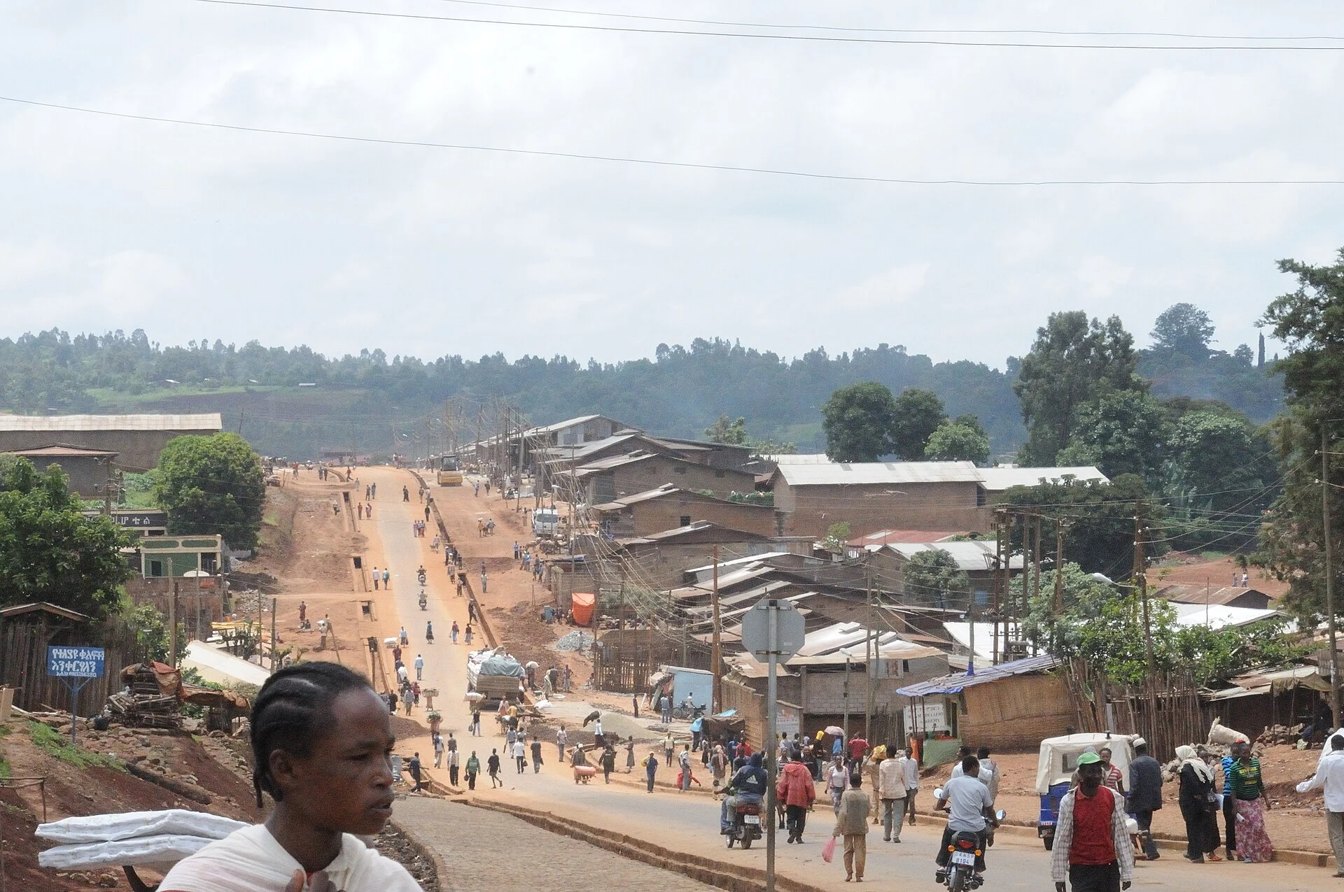
A corridor of lakes, not a resolved route
The Great Rift Valley runs through this part of the country, creating a savanna landscape distinct from other Ethiopian regions. The lakes mentioned from north to south are Ziway, Langano, Abijatta, Shalla, Awasa, Abaya, and Chamo. This sequence helps understand the geography, but it does not confirm distances, available transport, or a practical route between them.
The same region includes references to national parks along the valley. Their presence on the map is not enough to assume they are all accessible or share the same visiting conditions: check each location before adding it to your plan.
Gedeo offers a cultural reading of the territory
South of Dila, the Gedeo Cultural Landscape is described through two specific elements: rock art sites and sacred forests for the Gedeo people. This is a way to orient research toward the relationship between heritage and landscape, not an invitation to treat these spaces as mere decoration, nor a guarantee that an organized visit exists.
If you include it in your trip, look for specific information on access and local rules. The available evidence identifies the place and its features, but does not detail itineraries, services, or current conditions.
The Bale Mountains are another landscape option
East of the valley, the Bale Mountains appear as an alternative for those seeking mountain context and hiking possibilities. The source characterizes them as less visited than their northern equivalent, but this does not allow deducing current levels of traffic, infrastructure, or ease of access.
The choice between lakes, cultural landscape, and mountains therefore depends on the type of place you want to explore and the logistics you can confirm. There is not enough data here to recommend a duration, a sequence of stops, or a means of transport.
What to check before finalizing the itinerary
Use Awasa, also called Hawasa in the source, as an urban reference for the region; not as proof that convenient connections exist from there to all the destinations mentioned. The information recovered about the south does not develop how to get there or how to move around. Confirm with current sources the transport, the state of access to each park or site, and any service you need.
It is also prudent to check local conditions separately before traveling. A geographical or heritage description is not equivalent to a security, opening, or availability update. If those checks do not resolve the routes, keep the plan flexible.
Sources and references
Hide references
14 references
References consulted during editorial review. Times, requirements and advisories may change: always confirm with the official source.
-
Southern EthiopiaLicence: CC BY-SA 4.0 Wikivoyage contributors · Southern Ethiopia
-
Churches in EthiopiaLicence: CC BY-SA 4.0 Wikivoyage contributors · Churches in Ethiopia
-
Northern EthiopiaLicence: CC BY-SA 4.0 Wikivoyage contributors · Northern Ethiopia
-
Eritrea - WikiviajesLicence: CC BY-SA 4.0 Wikivoyage contributors · Eritrea - Wikiviajes
-
Etiopía - WikiviajesLicence: CC BY-SA 4.0 Wikivoyage contributors · Etiopía - Wikiviajes
-
Yibuti - WikiviajesLicence: CC BY-SA 4.0 Wikivoyage contributors · Yibuti - Wikiviajes
-
MoyaleLicence: CC BY-SA 4.0 Fuente: Wikivoyage
-
TiyaLicence: CC BY-SA 4.0 Fuente: Wikivoyage
-
AdigratLicence: CC BY-SA 4.0 Fuente: Wikivoyage
-
EthiopiaLicence: CC BY-SA 3.0 DBpedia