Saint Lucia on the map: Castries, English and the Eastern Caribbean dollar
An initial reference for locating Saint Lucia and understanding which basic details can help you start planning—and which need to be checked against current information.
A documented soundscape that complements this guide to Saint Lucia. An initial reference for locating Saint Lucia and understanding which basic details can help you start planning—and which need to be checked against current information.
Audio by Library of Congress · loc_citizen_dj · Public Domain Citizen DJ subset · Duration: 00:15
Location and capital
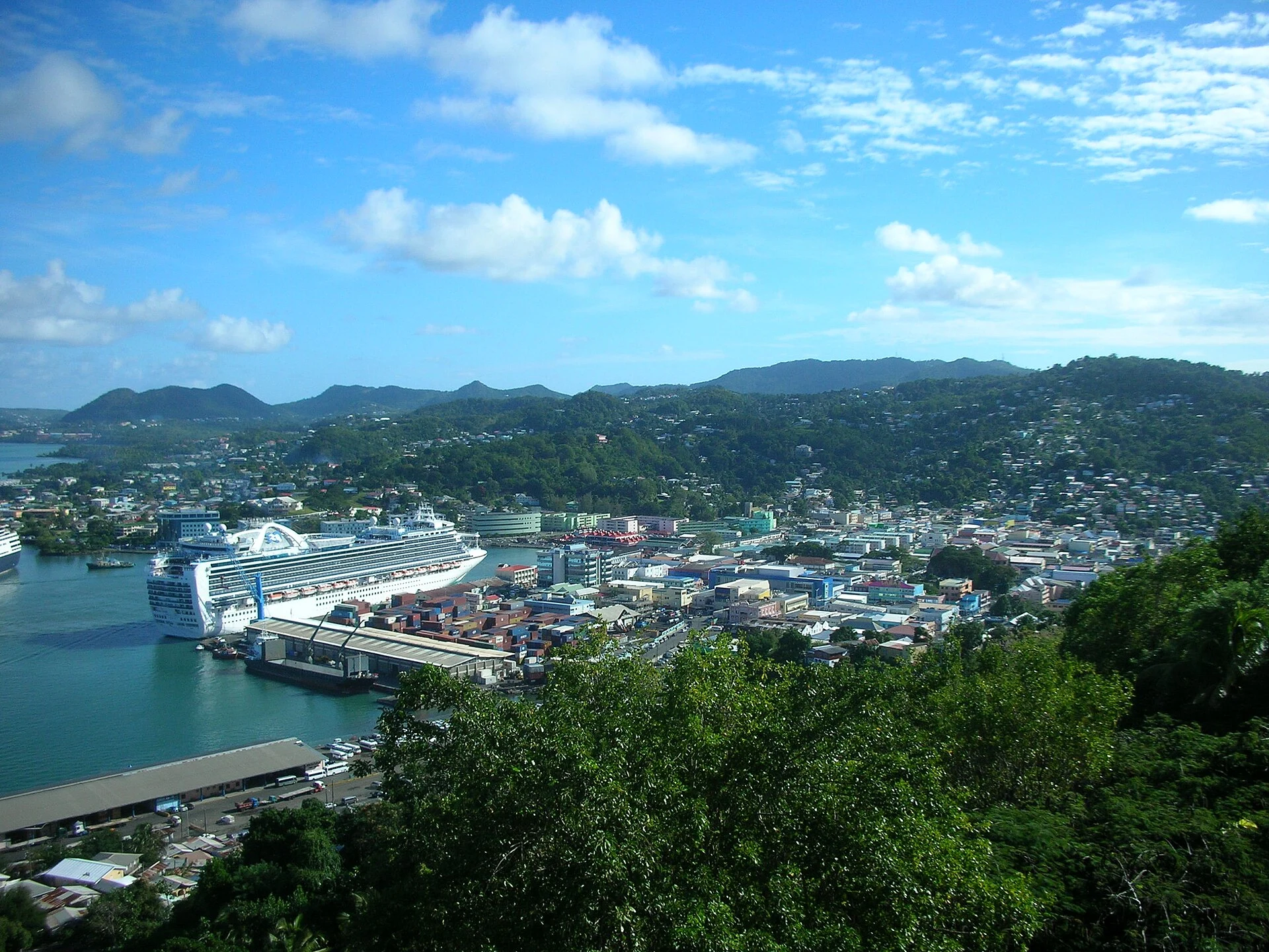
Saint Lucia is in the Caribbean and has no land borders: it is an island country. Its capital is Castries, which is also identified as a locality in the country. These facts help locate the destination, but they are not enough to decide how to get around.
Language and currency
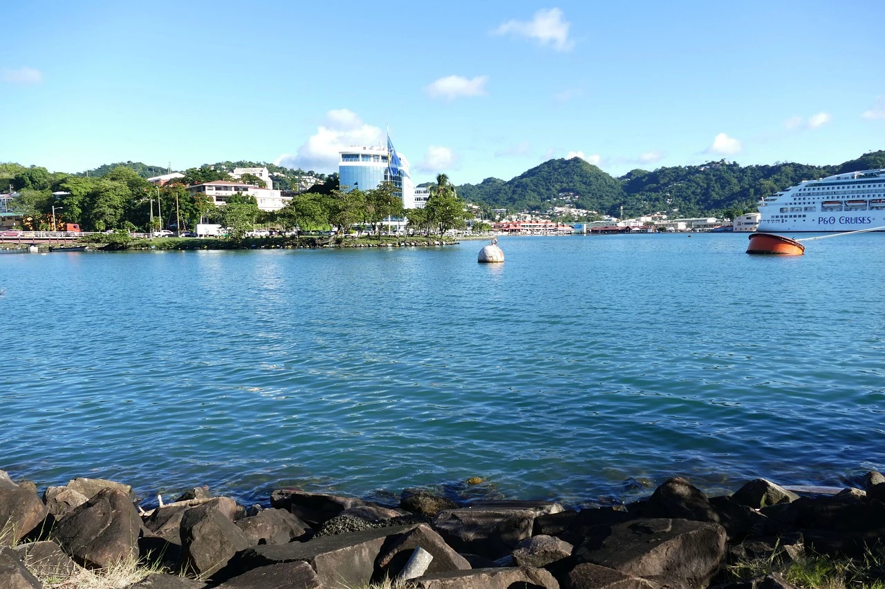
English is listed as the country’s language. The currency recorded is the Eastern Caribbean dollar (XCD), whose symbol is $. Before your trip, check the latest information on payments and currency exchange: the available listing confirms the currency, not whether it is accepted everywhere or what exchange rates apply.
What to check before planning your trip
The information gathered provides basic orientation, not an operational guide to transport or sightseeing. Check connections, available services and any practical requirements separately using up-to-date sources. An airport listing associated with Castries comes from a database that warns it may be out of date and does not confirm current flights.
A first look at the destination
Based on the information available, it is most useful to distinguish the country’s identity—a Caribbean island, its capital, and its linguistic and currency reference points—from details that can change. There is not enough information here to recommend a season, a specific itinerary or places to visit.
Research references
The sources used are listed separately in the final references block; the airport record is historical and may be out of date, as noted above. OpenStreetMap is among the sources referenced there for Castries. Such records do not establish current flight schedules.
Sources and references
Hide references
14 references
References consulted during editorial review. Times, requirements and advisories may change: always confirm with the official source.
-
Santa LucíaLicence: CC0 1.0 Wikidata · Q760
-
Santa LucíaLicence: CC0 1.0 Wikidata · Q1645159
-
Santa LucíaLicence: CC0 1.0 Wikidata · Q12882
-
Santa LucíaLicence: CC0 1.0 Wikidata · Q20597470
-
Santa LucíaLicence: CC0 1.0 Wikidata · Q1867062
-
Santa LucíaLicence: CC0 1.0 Wikidata · Q961069
-
Saint LuciaLicence: ODbL 1.0 World countries dataset by mledoze and contributors · ODbL 1.0
-
CastriesLicence: Datos geográficos bajo CC BY 4.0; requiere atribución a GeoNames. Fuente: GeoNames
-
CastriesLicence: Datos geográficos bajo CC BY 4.0; requiere atribución a GeoNames. Fuente: GeoNames
-
Castries, LC04 101, Saint LuciaLicence: ODbL 1.0; atribución y obligación de compartir bases derivadas. Fuente: OpenStreetMap
-
Castries, Saint LuciaLicence: ODbL 1.0; atribución y obligación de compartir bases derivadas. Fuente: OpenStreetMap
-
Santa LuciaLicence: CC BY-SA 3.0 DBpedia
-
George F. L. Charles AirportLicence: ODbL 1.0 (base de datos) / DbCL 1.0 (contenidos) George F. L. Charles Airport · OpenFlights · ODbL 1.0
