Switzerland: Choosing a Region Among the Alps, Lakes, and Cities
The Alps, the Jura, the central plateau, and the great lakes shape distinct journeys. This guide compares Swiss regions to help you set priorities before checking connections and practical details.
Start with the landscape, not a list of cities
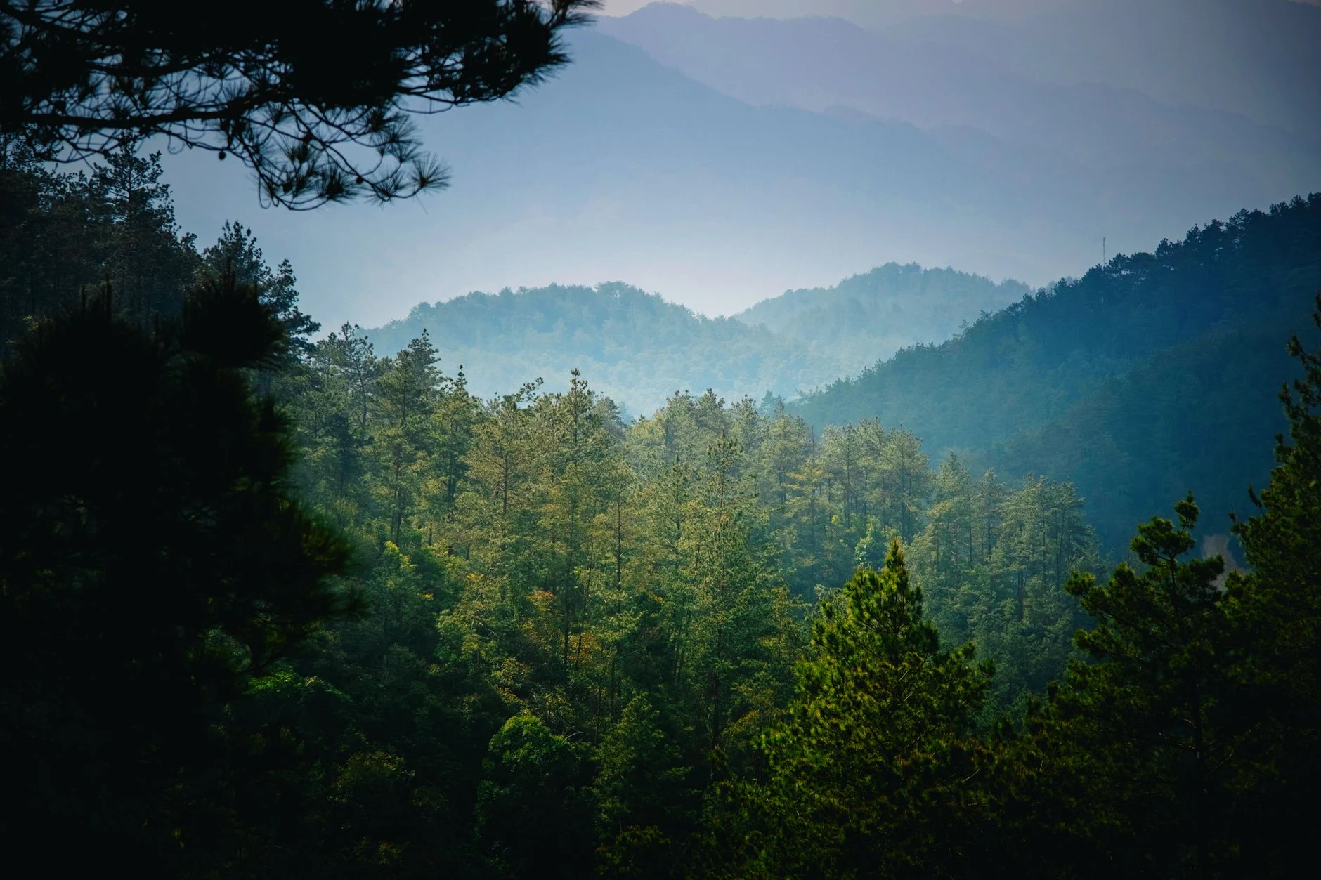
The south is marked by the Alps; the Jura occupies the northwest, and between them lies a plateau of hills, plains, and lakes. Altitude modifies the climate, so it is not advisable to assume that the conditions of one city describe those of a mountainous area. If the landscape is the main reason for the trip, first define a region and then check local conditions for your chosen dates.
Western Switzerland: cities, lake, and Jura
Western Switzerland encompasses areas of the Jura, the plateau, and the Alps. Geneva, Lausanne, and Neuchâtel are urban references for this region; Lake Geneva and the terraced vineyards of Lavaux offer another axis for organizing the visit. In the Jura, La Chaux-de-Fonds and Le Locle allow you to explore the regional watchmaking history. The distance between diverse landscapes can tempt you to cover too much: prioritizing one area reduces transfers and leaves more time for each stop.
The center: Lucerne and the origins of the Confederation
Central Switzerland comprises Uri, Schwyz, Nidwalden, Obwalden, and Lucerne, around the Vierwaldstättersee, also called Lake of the Four Cantons. The region is associated with the origins of the Confederation: a federal pact of 1291 documents an initial alliance between Uri, Schwyz, and Unterwalden; Lucerne joined in the 14th century. Lucerne can function as a reference for combining city, lake, and regional history. The connection to a historical narrative does not by itself make the entire zone a compact itinerary: verify routes and times before linking several localities.
East and south: contrasts of language and relief
In the east, Lake Constance, St. Gallen, and the landscapes of Appenzell offer references distinct from the large western cities. In the Grisons, a very mountainous region, the Romansh culture is concentrated; the canton is also trilingual. The Ticino, in the extreme south, is the Italian-speaking canton. These differences help to orient yourself, but they do not replace the verification of names, services, and local conditions: the predominant languages vary from one region to another.
Bern, languages, and money: references to refine the plan
Bern is the capital and a starting point to situate the country, although it does not by itself represent the regional diversity. French, German, Italian, and Romansh are historically associated with different zones; recognizing them helps to read maps and local names. The currency is the Swiss franc (CHF), useful as a reference when preparing a budget, not as an indication of prices. Before booking, verify connections, schedules, fares, and any access conditions in updated sources.
Sources and references
Hide references
14 references
References consulted during editorial review. Times, requirements and advisories may change: always confirm with the official source.
-
Central SwitzerlandLicence: CC BY-SA 4.0 Wikivoyage contributors · Central Switzerland
-
Eastern SwitzerlandLicence: CC BY-SA 4.0 Wikivoyage contributors · Eastern Switzerland
-
SwitzerlandLicence: CC BY-SA 4.0 Wikivoyage contributors · Switzerland
-
Western SwitzerlandLicence: CC BY-SA 4.0 Wikivoyage contributors · Western Switzerland
-
Zúrich - WikiviajesLicence: CC BY-SA 4.0 Wikivoyage contributors · Zúrich - Wikiviajes
-
Suiza - WikiviajesLicence: CC BY-SA 4.0 Wikivoyage contributors · Suiza - Wikiviajes
-
Liechtenstein - WikiviajesLicence: CC BY-SA 4.0 Wikivoyage contributors · Liechtenstein - Wikiviajes
-
Baden-WürttembergLicence: CC BY-SA 4.0 Fuente: Wikivoyage
-
GenevaLicence: CC BY-SA 4.0 Fuente: Wikivoyage
-
ZurichLicence: CC BY-SA 4.0 Fuente: Wikivoyage
-
SwitzerlandLicence: ODbL 1.0 World countries dataset by mledoze and contributors · ODbL 1.0