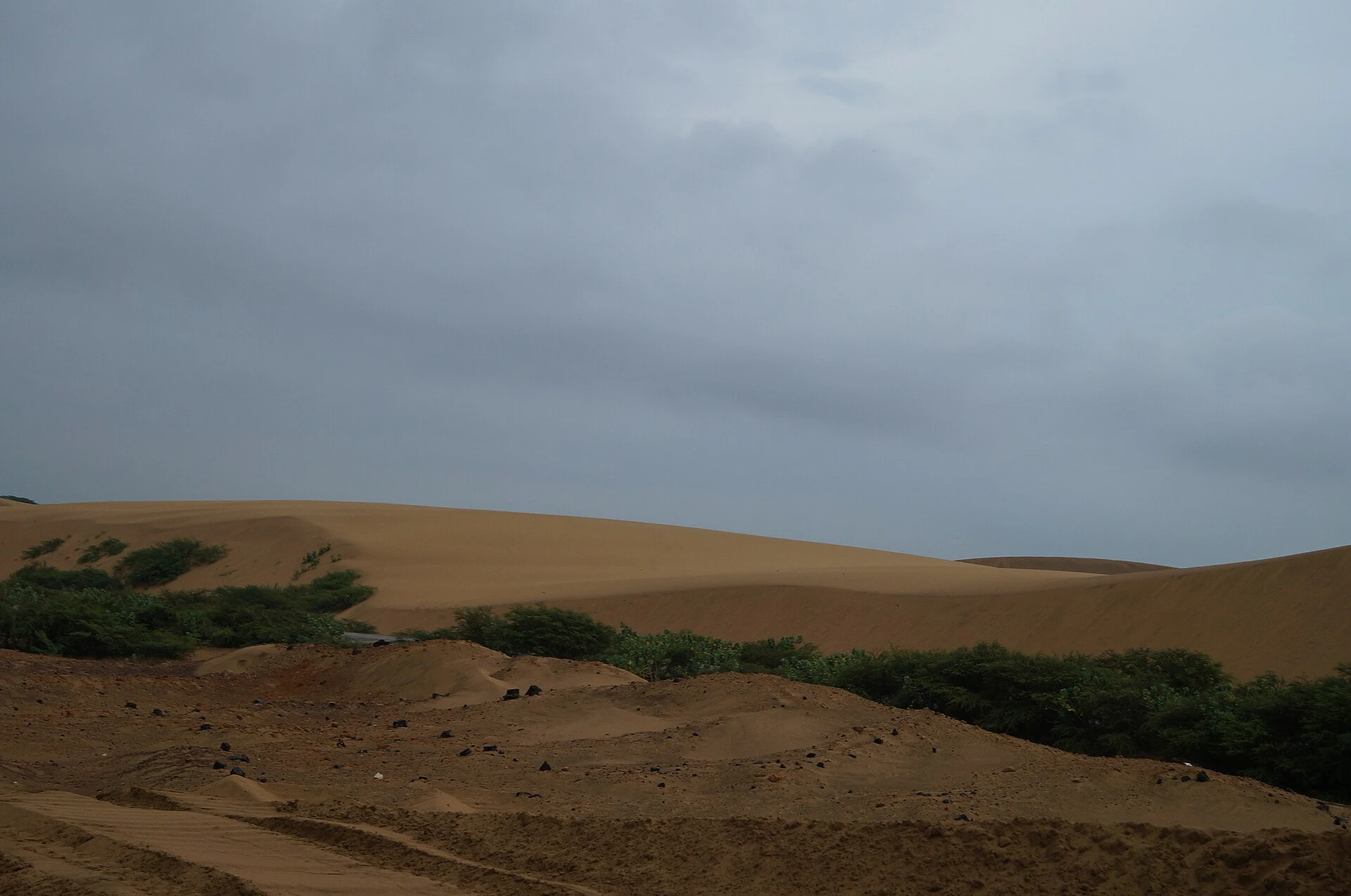
Papua New Guinea: Choosing a Region Before Planning Your Trip
Papua New Guinea combines islands, highlands, and extensive river systems. This guide compares key regions and explains why you should research each leg of your journey separately before finalizing an itinerary.
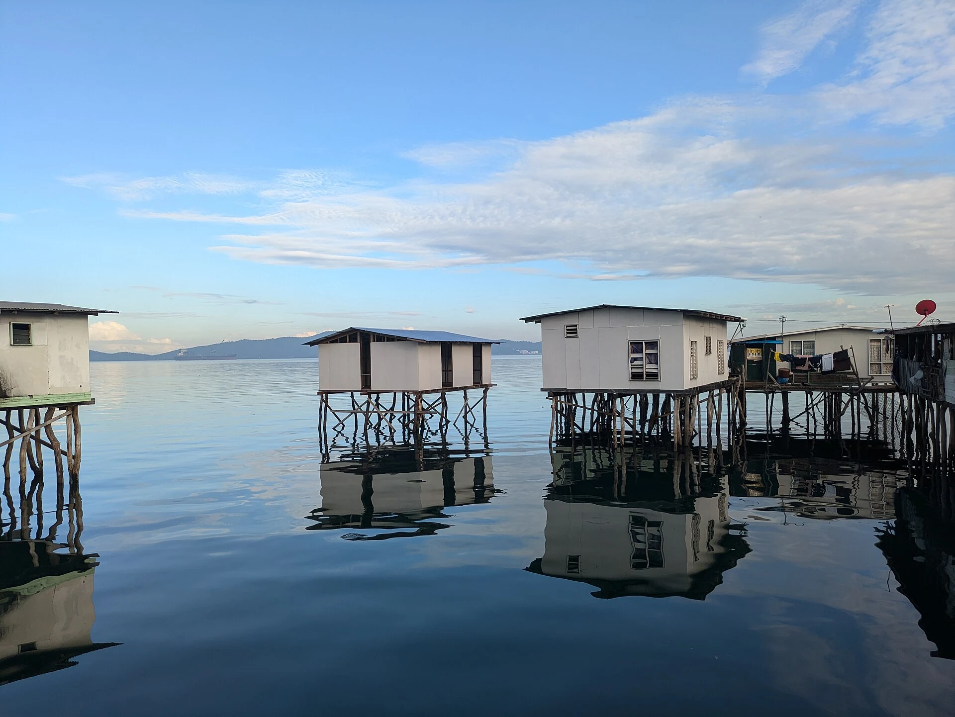
A country that requires regional decisions
Papua New Guinea is located in Melanesia, within Oceania, and combines the eastern part of New Guinea with smaller islands. The geography ranges from mountains and rainforests to lowlands and wetlands, depending on the general orientation of the country. The national scale is not enough to estimate travel times: first choose a zone, then confirm how to get there and how to move within it. Do not turn the distance on the map into a promise of simple connectivity.
Port Moresby: a starting point for research
The capital is on the southern coast, next to the Gulf of Papua, and functions as a reference for organizing the search for connections. Available information describes it as the main air entry point, but it does not confirm current routes or operations; verify flights and links before booking. In Central Province, around the capital, Tok Pisin is a useful linguistic reference, while Hiri Motu has a greater presence as a provincial lingua franca. In the city, immigration from other regions makes Tok Pisin an effective lingua franca. The use of languages can vary between the capital and the province.
Highlands: mountains, agriculture, and current checks
The Highlands offer a different orientation: localities like Mount Hagen and Goroka, mountainous landscapes, and an agricultural history also linked to coffee. The material consulted mentions the early agricultural site of Kuk, inscribed on the World Heritage List; if you include it, verify access and current conditions separately. The same source collects travel warnings, updated on July 29, 2026, for Hela, Enga, Southern Highlands, and Mount Hagen. Before deciding on a visit, consult the latest official notices for the exact area. Do not treat a regional description as confirmation that traveling is advisable now.
The West: wetlands and remote places
In Western Province and Gulf Province, the Fly River delta, Lake Murray, and wetland areas appear. The regional guide indicates that some destinations usually require charter flights and prior coordination with accommodations or operators; it also points out that there is no reliable road network connecting several remote localities in the region. These are data that point to specific planning, not a circuit that can be improvised upon arrival. Confirm transfers, hosts, and local conditions before committing to dates.
Languages, currency, and a checklist
To prepare for communication, the languages recorded at the national level are English, Hiri Motu, and Tok Pisin; local uses may differ, as shown by the case of Central Province. The currency is the Papua New Guinean kina (PGK; symbol K), a reference for checking exchange rates and payment methods, not a basis for calculating expenses without current data. Before finalizing the plan, check flights and connections, local transport, and travel warnings for the regions you actually want to visit. For additional general orientation, consult Papua New Guinea: Locating the Country and Planning from Port Moresby.
Sources and references
Hide references
14 references
References consulted during editorial review. Times, requirements and advisories may change: always confirm with the official source.
-
Southern Papua New GuineaLicence: CC BY-SA 4.0 Wikivoyage contributors · Southern Papua New Guinea
-
Highlands (Papua New Guinea)Licence: CC BY-SA 4.0 Wikivoyage contributors · Highlands (Papua New Guinea)
-
Papua New GuineaLicence: CC BY-SA 4.0 Wikivoyage contributors · Papua New Guinea
-
Western Papua New GuineaLicence: CC BY-SA 4.0 Wikivoyage contributors · Western Papua New Guinea
-
Oceanía - WikiviajesLicence: CC BY-SA 4.0 Wikivoyage contributors · Oceanía - Wikiviajes
-
Papúa Nueva Guinea - WikiviajesLicence: CC BY-SA 4.0 Wikivoyage contributors · Papúa Nueva Guinea - Wikiviajes
-
Islas Salomón - WikiviajesLicence: CC BY-SA 4.0 Wikivoyage contributors · Islas Salomón - Wikiviajes
-
Puerto Moresby - WikiviajesLicence: CC BY-SA 4.0 Wikivoyage contributors · Puerto Moresby - Wikiviajes
-
PapuaLicence: CC BY-SA 4.0 Fuente: Wikivoyage
-
Papúa Nueva GuineaLicence: CC0 1.0 Wikidata · Q691
-
Papua New GuineaLicence: ODbL 1.0 World countries dataset by mledoze and contributors · ODbL 1.0
-
Port MoresbyLicence: Datos geográficos bajo CC BY 4.0; requiere atribución a GeoNames. Fuente: GeoNames
-
Papua New GuineaLicence: CC BY-SA 3.0 DBpedia