Eastern Kenya: From the Humid Slopes of Mount Kenya to Arid Lands
In eastern Kenya, rainfall and altitude explain the contrast between the agricultural slopes of Mount Kenya, semi-arid zones, and northern landscapes. This diversity requires planning by region and verifying logistics separately.
Rainfall and altitude mark the landscape change
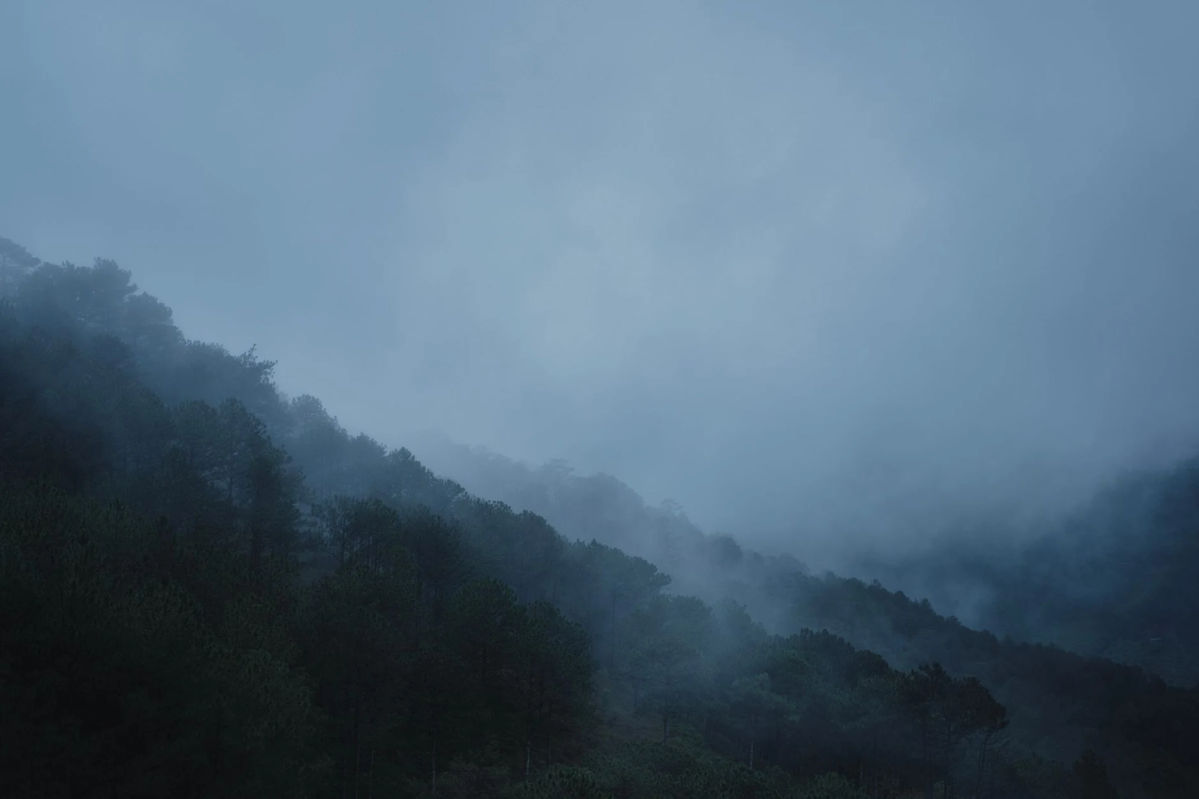
Around Meru and Embu, the relatively cool and humid conditions of the Mount Kenya foothills sustain intensive agriculture. Regional crops include tea, coffee, fruits, vegetables, and maize, alongside dairy production. Further east and north, the climate is warmer and drier; there, livestock farming carries more weight, and expanses of grassland, scrub, and semi-arid terrain appear. This transition is key to choosing which part of the east to explore: agricultural landscapes near the highlands or drier environments in the plains and north.
Localities to situate a broad region
Embu, Meru, Isiolo, Marsabit, and Machakos serve as references to orient yourself in different zones of the east. They do not form a route in themselves, nor do they represent a circuit with verified connections. Garissa, Mandera, Marsabit, and Moyale appear as urban destinations in the eastern and northeastern parts; Moyale is located on the border between Kenya and Ethiopia. Before linking localities, confirm transfers, road conditions, and current circumstances with relevant sources: geographical information does not guarantee available services. Choose a specific area first and then check how to get there.
Conservation and landscapes of the east and northeast
The region also includes conservation areas with distinct characteristics. The semi-arid landscape of Malka Mari National Park combines scrub and grassland with riparian vegetation; Arawale and Rahole are listed as national reserves. Marsabit National Park is described as having crater lakes and elephant presence. These are references for understanding the regional ecological variety, not a guarantee of access, wildlife viewing, or current visiting conditions. If one is the main reason for your trip, verify its status, current rules, and local logistics beforehand. Conservation and access must be planned as separate issues.
A territory shaped by different livelihoods
The diversity of the east is not only physical. In the wetter zones, agriculture plays an important role; in the dry areas, livestock rearing is a prominent livelihood. Regional history includes agricultural and pastoral communities whose settlement and movement patterns were linked to the availability of water and pastures. Trade and exchange networks are also part of the context. This perspective allows you to approach the territory without reducing it to a landscape to photograph: water, agriculture, and grazing help explain the differences between its areas.
What to check before finalizing the plan
Geographical breadth is not enough to deduce travel times, connections, or visiting conditions. Confirm current transport information for each leg and consult authorities or conservation administrations regarding access to parks and reserves. Weather conditions also vary significantly between the cooler, wetter foothills and the warmer, drier lowlands; do not assume that the same preparation suits the entire region. To broaden the perspective, consult the guide on Eastern Kenya’s Highlands, Drylands and Regional Distances. Define a regional priority before committing to dates or transfers.
Sources and references
Hide references
14 references
References consulted during editorial review. Times, requirements and advisories may change: always confirm with the official source.
-
Eastern KenyaLicence: CC BY-SA 4.0 Wikivoyage contributors · Eastern Kenya
-
Western KenyaLicence: CC BY-SA 4.0 Wikivoyage contributors · Western Kenya
-
Mount KenyaLicence: CC BY-SA 4.0 Wikivoyage contributors · Mount Kenya
-
Kenia - WikiviajesLicence: CC BY-SA 4.0 Wikivoyage contributors · Kenia - Wikiviajes
-
Sudán del Sur - WikiviajesLicence: CC BY-SA 4.0 Wikivoyage contributors · Sudán del Sur - Wikiviajes
-
Tanzania - WikiviajesLicence: CC BY-SA 4.0 Wikivoyage contributors · Tanzania - Wikiviajes
-
Uganda - WikiviajesLicence: CC BY-SA 4.0 Wikivoyage contributors · Uganda - Wikiviajes
-
MoyaleLicence: CC BY-SA 4.0 Fuente: Wikivoyage
-
NanyukiLicence: CC BY-SA 4.0 Fuente: Wikivoyage
-
KenyaLicence: CC BY-SA 3.0 DBpedia