Kyrgyzstan: Reading the Map Before Choosing Your Route
Mountains, alpine lakes, and agricultural valleys shape very different journeys in Kyrgyzstan. These references help you choose a region and separate the desired landscape from the logistics that still need verification.
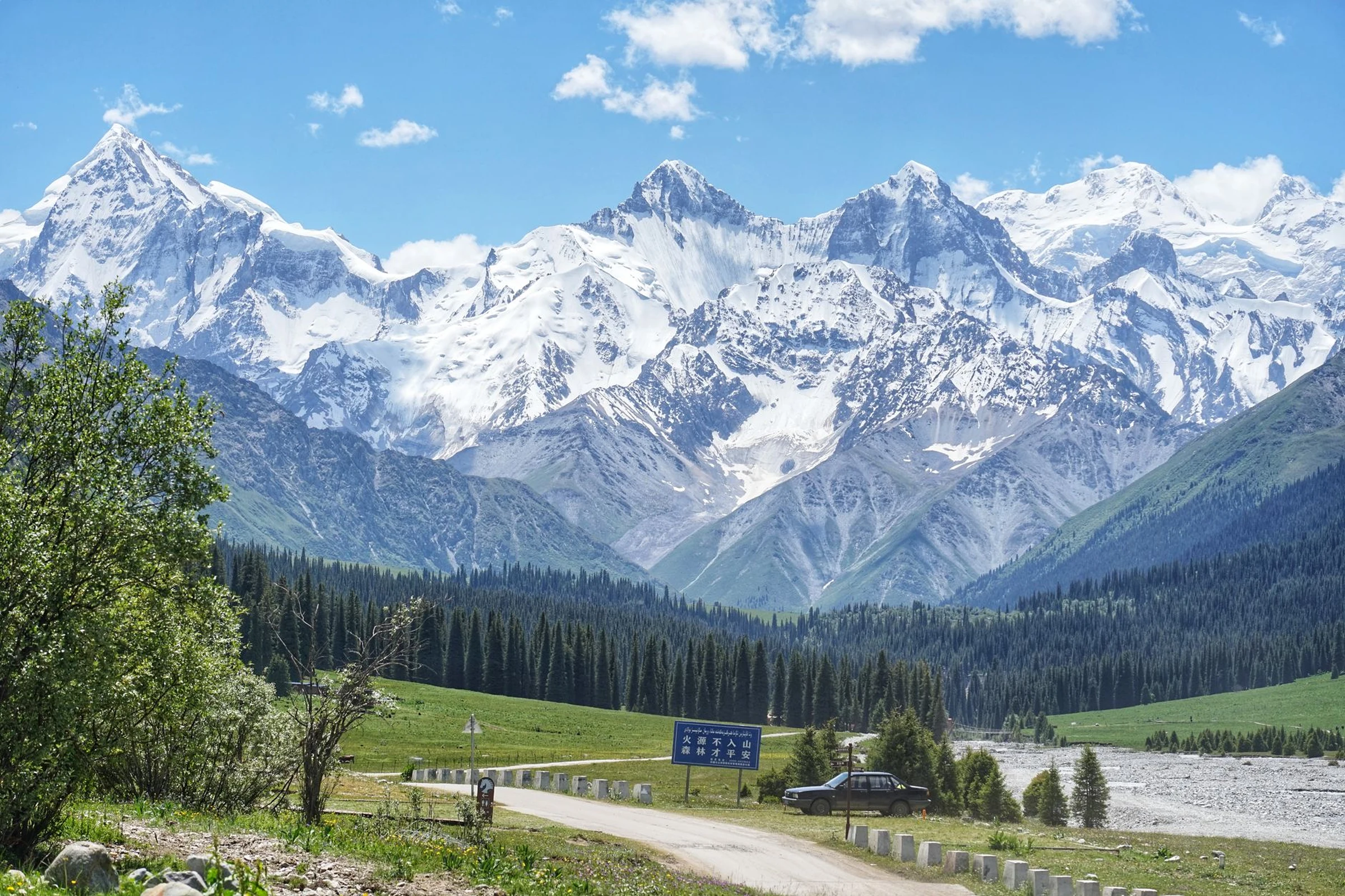
Three settings that do not equal a route
The Bishkek and northwest area combines the capital with the reference of Ala-Archa National Park. Further east, Issyk-Kul and Tian Shan define a journey centered on a large alpine lake and the mountains. In the southwest, the Kyrgyz part of the Fergana valley is lower, warmer, and more agricultural than the mountainous regions. These are differences in landscape and scale; they do not allow you to deduce travel times, road conditions, or ease of access. Choose the type of environment first and then check how to get to each stop.

Bishkek as a starting point, not a measure of the country
Bishkek is the capital and is located in the Chuy valley, at the foot of Tian Shan. Its planned urban layout, with a grid, wide avenues, and irrigation canals, offers a clear contrast with the mountainous landscapes that usually motivate the trip. It serves as an initial reference for orienting toward the Ala-Archa area, but the available information is not enough to design current connections from the city. Before setting dates or linking destinations, verify transport, departure points, and possible service changes.
Fergana: a shared and diverse region
The Fergana valley extends across Kyrgyzstan, Uzbekistan, and Tajikistan; the Kyrgyz part occupies areas in the southwest. Osh, described as a market city with a history of at least 3,000 years, helps understand the urban and historical weight of this area. Jalal-Abad and Arslanbob are also mentioned among its references. State borders cross the valley, so it is not advisable to treat it as a single practical unit: confirm with current information the crossings and the conditions of any cross-border movement.
Landscape and effort: check before committing
Ala-Archa is associated with mountain excursions; Issyk-Kul and Song-Kul, with alpine lakes; and Tian Shan, with a vast mountainous territory. Those labels describe the environment, not the difficulty of a specific hike or the access available on a given date. If the plan includes hiking, camping, or travel to remote areas, seek specific information about the chosen route and leave room to review local conditions. Do not turn a map image into a promise of simple connection.
A useful decision before the itinerary
To compare options, first formulate the priority: an urban base near mountains, a journey around an alpine lake, or a stop in the agricultural and historically diverse Fergana valley. Then contrast distances, connections, and requirements with updated sources; the available material does not allow confirming schedules, fares, bookings, or access conditions. For a first orientation on the country, also consult the geographic keys of Kyrgyzstan.
Sources and references
Hide references
14 references
References consulted during editorial review. Times, requirements and advisories may change: always confirm with the official source.
-
Central AsiaLicence: CC BY-SA 4.0 Wikivoyage contributors · Central Asia
-
Ferghana Valley (Kyrgyzstan)Licence: CC BY-SA 4.0 Wikivoyage contributors · Ferghana Valley (Kyrgyzstan)
-
KyrgyzstanLicence: CC BY-SA 4.0 Wikivoyage contributors · Kyrgyzstan
-
OshLicence: CC BY-SA 4.0 Wikivoyage contributors · Osh
-
Kirguistán - WikiviajesLicence: CC BY-SA 4.0 Wikivoyage contributors · Kirguistán - Wikiviajes
-
XinjiangLicence: CC BY-SA 4.0 Wikivoyage contributors · Xinjiang
-
Minority cultures of RussiaLicence: CC BY-SA 4.0 Wikivoyage contributors · Minority cultures of Russia
-
BishkekLicence: CC BY-SA 4.0 Wikivoyage contributors · Bishkek
-
KyrgyzstanLicence: ODbL 1.0 World countries dataset by mledoze and contributors · ODbL 1.0
-
BishkekLicence: Datos geográficos bajo CC BY 4.0; requiere atribución a GeoNames. Fuente: GeoNames
-
BishkekLicence: Datos geográficos bajo CC BY 4.0; requiere atribución a GeoNames. Fuente: GeoNames
-
Kyrgyz RepublicLicence: CC BY 4.0 World Bank
-
KyrgyzstanLicence: CC BY-SA 3.0 DBpedia
-
KirghizistanLicence: CC BY-SA 3.0 DBpedia