Madagascar: Choosing a Region by Landscape and Priorities
Madagascar features humid rainforests, dry forests, highlands, and spiny landscapes. Comparing regions by their environments and verifying transfers before fixing the itinerary helps you choose with purpose.
One island, several environments
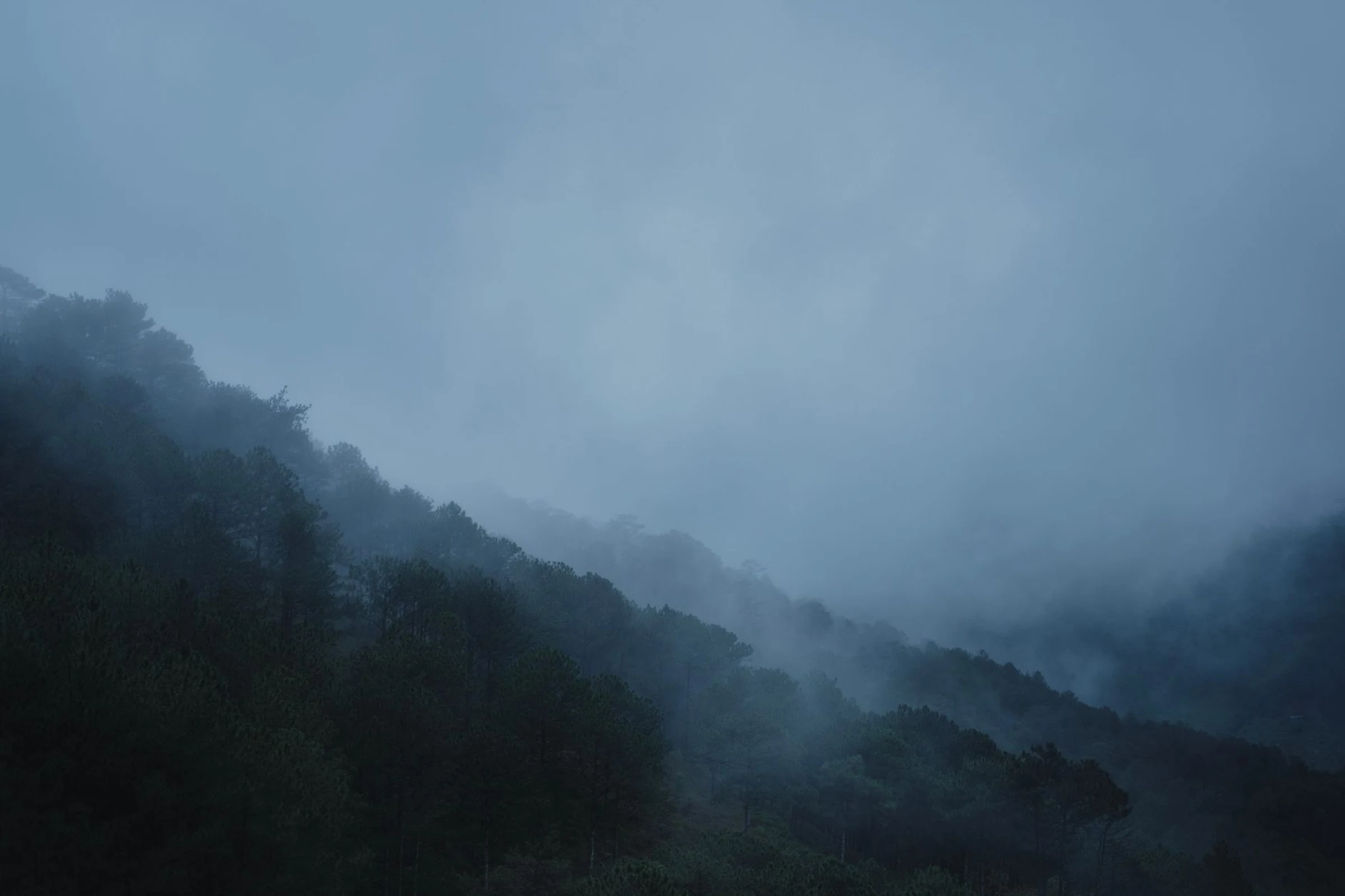
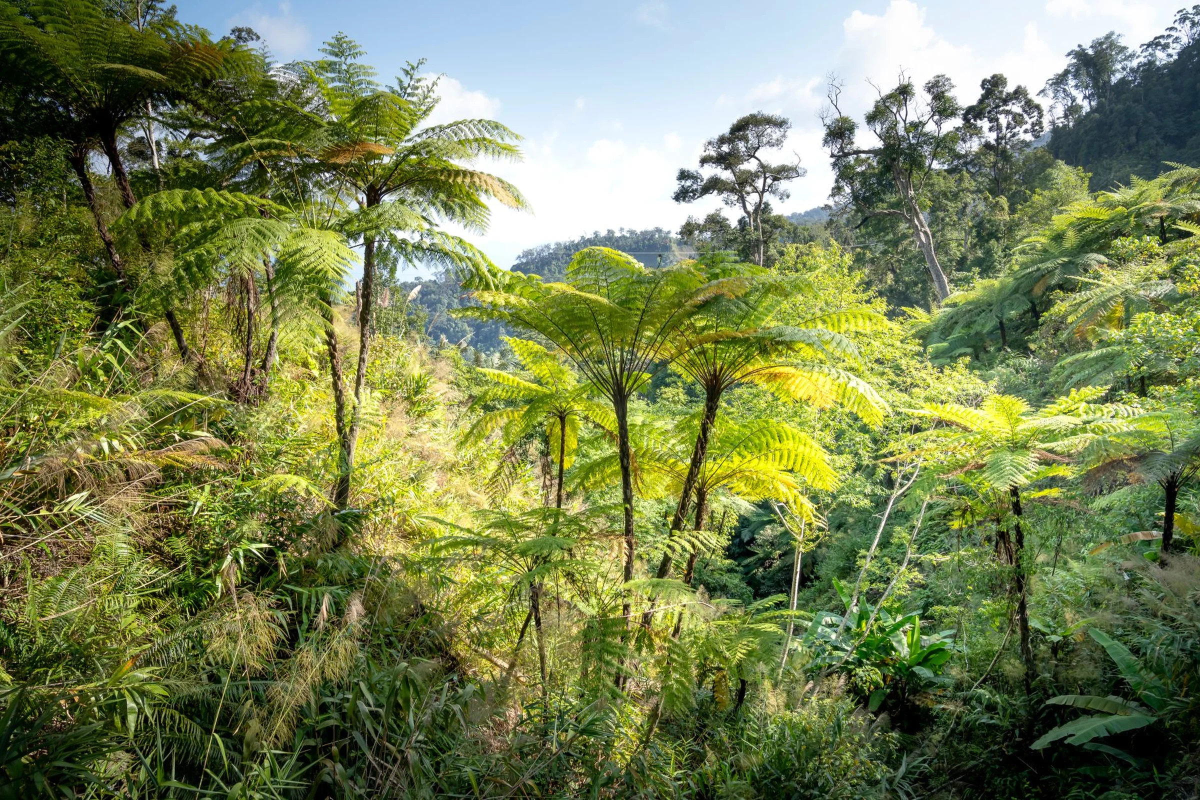
The eastern coast, exposed to the winds, has humid tropical rainforests; the west and south, leeward of the central highlands, present dry forests, spiny formations, and arid zones. Therefore, “Madagascar” does not describe a unique landscape experience: choosing a region conditions which ecosystems you can find on the trip. Distance alone is not enough to compare two destinations; the type of environment you want to prioritize also matters.
North, center, and south: different priorities
The north includes Antsiranana, Nosy Be, and parks like Masoala; the regional guide also points to Marojejy and the Tsaratanana mountain range. In the center and the capital area, the highlands appear, while south of Antananarivo, mountains and rainforests extend; the RN7 is described as a relatively direct access to that area, an observation that must be confirmed for the current trip. Further south, the landscape becomes dry and spiny. Do not try to cover all these contrasts without first checking how much time and what connections each leg requires.
Fauna as a reason for choice
Madagascar’s prolonged isolation favored a very singular flora and fauna. Lemurs are one of its most characteristic animal groups; among the places cited to observe them are Andasibe-Mantadia and Andringitra. These names serve to orient the search, not to guarantee sightings or current access conditions. If nature is the main reason, choose the park or region before adding urban stops and verify the logistics directly with updated sources.
Antananarivo and practical checks
The capital can be a reference point for arrivals and internal transport, but the available information does not allow confirming current connections between cities, schedules, or travel durations. Before closing the plan, check separately how to get to each region and how much margin the transfer requires. The country uses the ariary (MGA); Malagasy and French are among the languages of the country, useful data for preparing communication and daily handling, without by themselves indicating the availability of services in a specific place.
Sources and references
Hide references
14 references
References consulted during editorial review. Times, requirements and advisories may change: always confirm with the official source.
-
Antsiranana ProvinceLicence: CC BY-SA 4.0 Wikivoyage contributors · Antsiranana Province
-
MadagascarLicence: CC BY-SA 4.0 Wikivoyage contributors · Madagascar
-
East African IslandsLicence: CC BY-SA 4.0 Wikivoyage contributors · East African Islands
-
Wildlife of MadagascarLicence: CC BY-SA 4.0 Wikivoyage contributors · Wildlife of Madagascar
-
Madagascar - WikiviajesLicence: CC BY-SA 4.0 Wikivoyage contributors · Madagascar - Wikiviajes
-
Mauricio - WikiviajesLicence: CC BY-SA 4.0 Wikivoyage contributors · Mauricio - Wikiviajes
-
Comoras - WikiviajesLicence: CC BY-SA 4.0 Wikivoyage contributors · Comoras - Wikiviajes
-
Territorios Australes Franceses - WikiviajesLicence: CC BY-SA 4.0 Wikivoyage contributors · Territorios Australes Franceses - Wikiviajes
-
Tsingy de Bemaraha ReserveLicence: CC BY-SA 4.0 Fuente: Wikivoyage
-
Masoala National ParkLicence: CC BY-SA 4.0 Fuente: Wikivoyage
-
Zahamena National ParkLicence: CC BY-SA 4.0 Fuente: Wikivoyage
-
MadagascarLicence: CC0 1.0 Wikidata · Q1019
-
MadagascarLicence: CC0 1.0 Wikidata · Q3496405
-
MadagascarLicence: CC0 1.0 Wikidata · Q2261392