Planning a trip through the Bolivian Altiplano and Salar de Uyuni
The Altiplano combines high-altitude Andean plateaus, cities, and salt landscapes. Understanding its scale helps you choose what to explore and what to verify before you leave.
A high-altitude region, not a uniform landscape
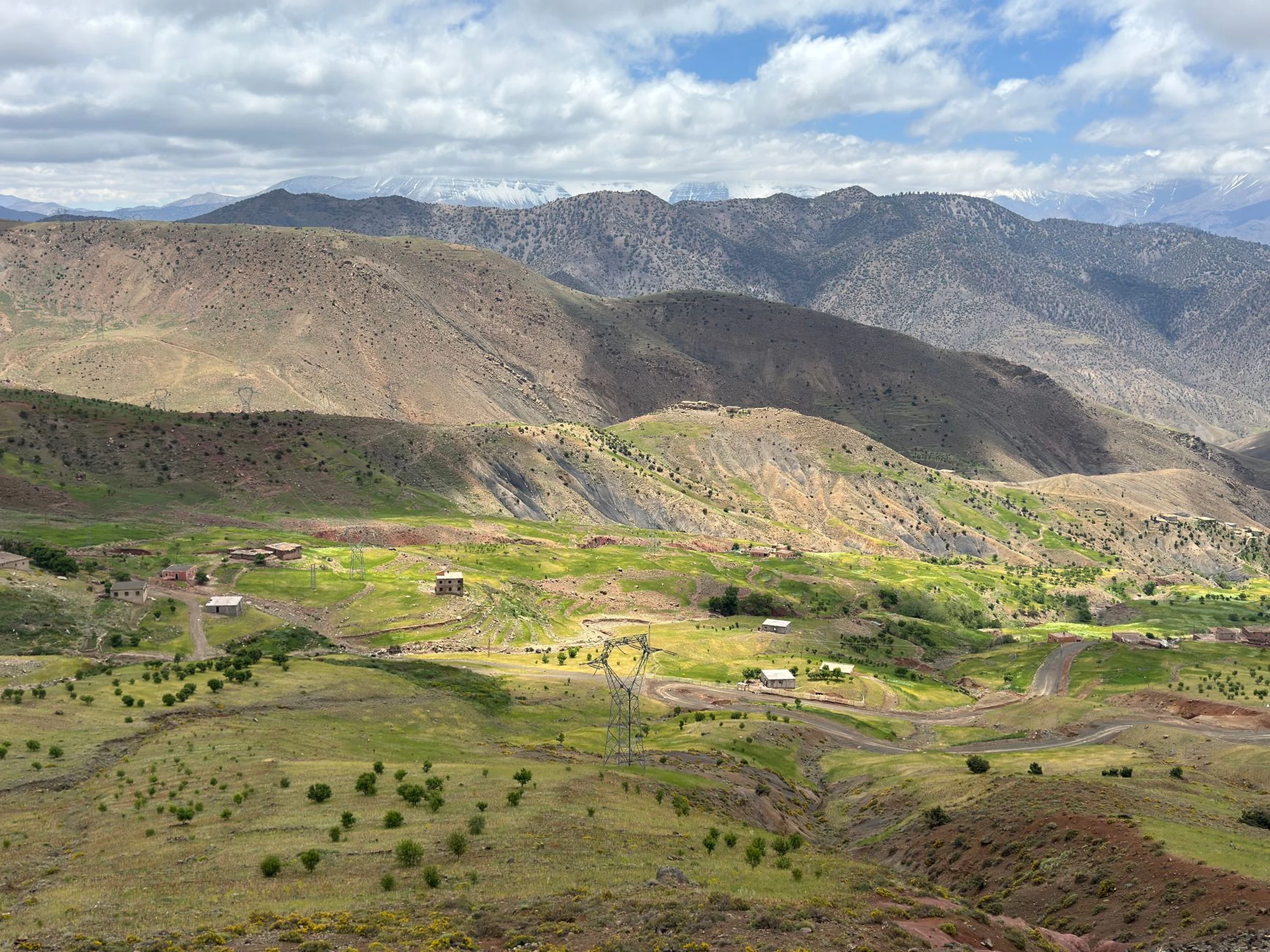
The Bolivian Altiplano exceeds approximately 3,500 meters and extends beyond the country's borders. Its terrain alternates between plateau steppe, broken ranges, gorges, and volcanoes; therefore, a general description is not enough to anticipate the character of a specific excursion. La Paz, Oruro, and Potosí are among its cities, while Lake Titicaca and the Salar de Uyuni correspond to distinct landscapes within this broad region. It is best to choose a specific zone first, rather than treating all those names as nearby stops.
The salt flat requires a scale decision
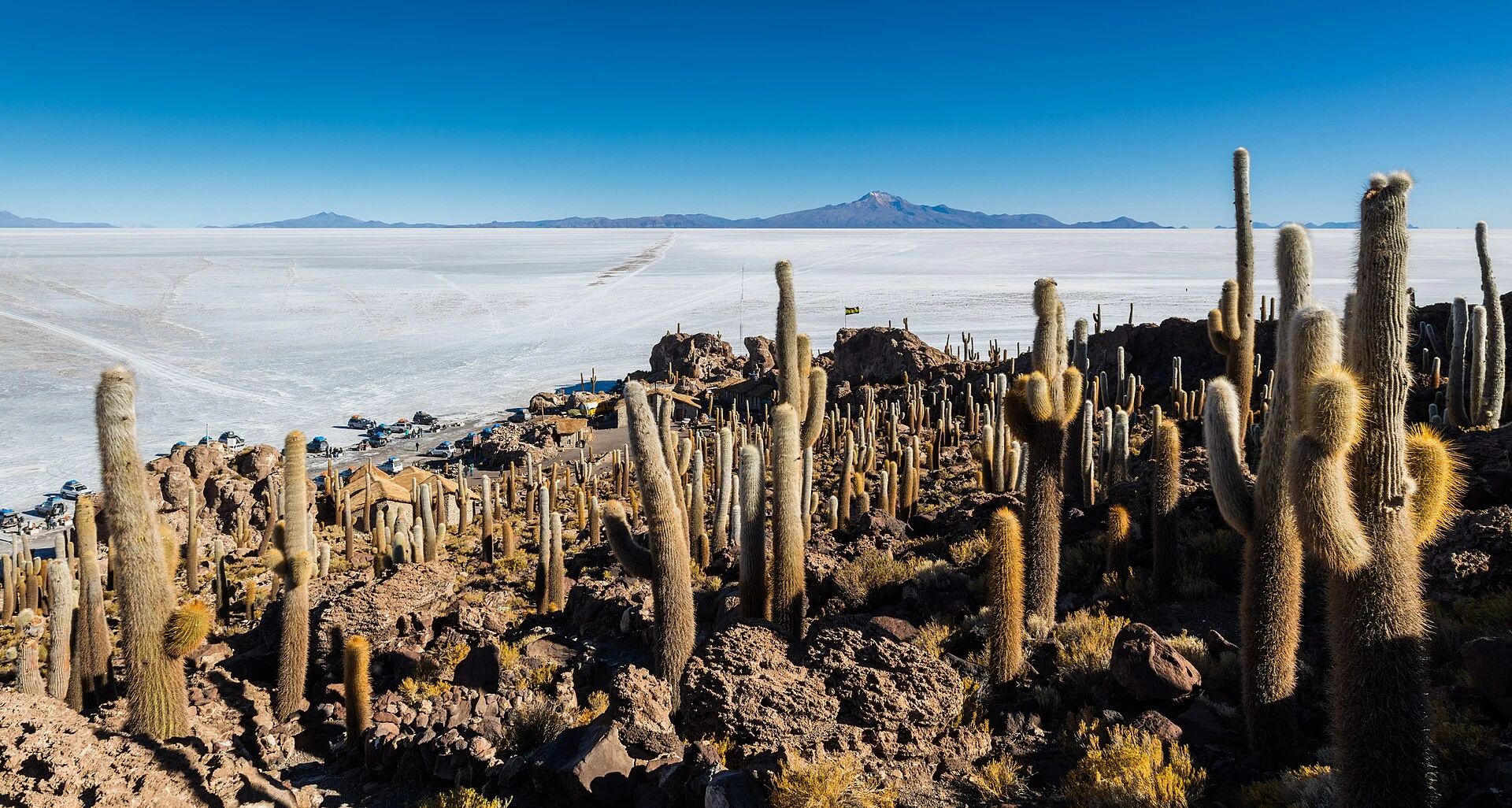
The Salar de Uyuni is located at an altitude of about 3,700 meters and is distinguished by its vast white surface. The regional surroundings also mention Laguna Colorada, Laguna Verde, and the Árbol de Piedra, but the available information does not establish current distances, connections, or times between these places. Decide whether the salt flat is the center of the trip or part of a broader regional exploration; before finalizing an itinerary, confirm with operators or local sources the available routes, duration, and current conditions. Do not assume that all landscapes fit into a single outing.
Altitude also conditions the pace
Altitude figures help understand the terrain, but by themselves they do not determine how each traveler will respond or what individual preparation is needed. In the case of the Salar de Uyuni, the reference provided is around 3,700 meters; other points on the Altiplano may have different elevations. Check the altitude of each stop and plan with margin, especially if your route includes several places. The regional source also warns that temperatures can drop significantly during the Bolivian winter, in June and July; treat this as a signal to verify the forecast and necessary equipment, not as a guaranteed weather description for each date.
What to confirm before departing
The information consulted presents a general overview, not a schedule or current transport offer. Before traveling, check how to get to the chosen point, which movements are operational, how long they take, and what conditions apply to the excursion. If you plan to combine the salt flat with lagoons or other sites, explicitly verify that the route is available and how many days it requires. For high-altitude places, also review the expected elevation and weather conditions for your dates. The utility of the map lies in narrowing the plan: a broad region becomes more manageable when a specific objective is chosen.
Sources and references
Hide references
14 references
References consulted during editorial review. Times, requirements and advisories may change: always confirm with the official source.
-
Altiplano (Bolivia)Licence: CC BY-SA 4.0 Wikivoyage contributors · Altiplano (Bolivia)
-
BoliviaLicence: CC BY-SA 4.0 Wikivoyage contributors · Bolivia
-
Santa Cruz (city, Bolivia)Licence: CC BY-SA 4.0 Wikivoyage contributors · Santa Cruz (city, Bolivia)
-
Bolivia - WikiviajesLicence: CC BY-SA 4.0 Wikivoyage contributors · Bolivia - Wikiviajes
-
Sucre (Bolivia) - WikiviajesLicence: CC BY-SA 4.0 Wikivoyage contributors · Sucre (Bolivia) - Wikiviajes
-
La Paz (Bolivia) - WikiviajesLicence: CC BY-SA 4.0 Wikivoyage contributors · La Paz (Bolivia) - Wikiviajes
-
Altiplano (Bolivia) - WikiviajesLicence: CC BY-SA 4.0 Wikivoyage contributors · Altiplano (Bolivia) - Wikiviajes
-
La PazLicence: CC BY-SA 4.0 Fuente: Wikivoyage
-
Santa Cruz (department, Bolivia)Licence: CC BY-SA 4.0 Fuente: Wikivoyage
-
BoliviaLicence: CC BY-SA 3.0 DBpedia