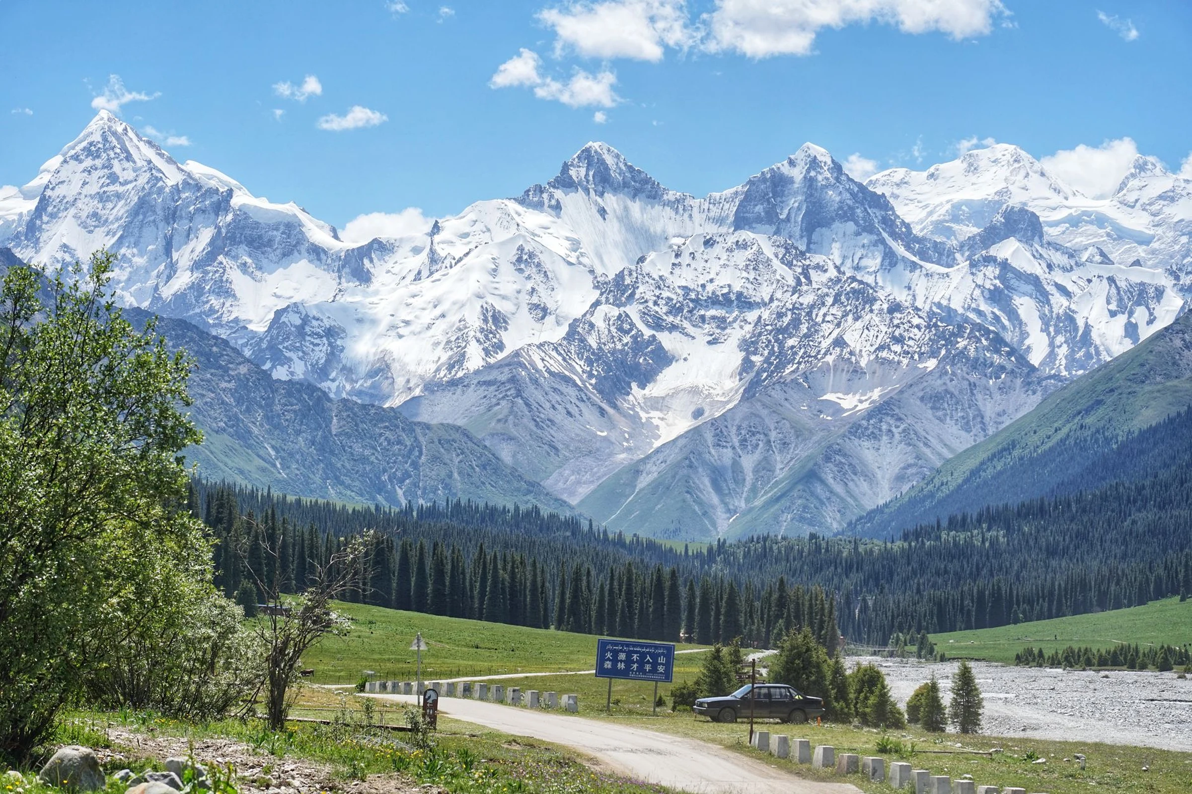
Kyrgyzstan: choosing between mountains, lake and valley
Kyrgyzstan brings together high mountains, alpine lakes and agricultural valleys. Choosing a region before planning your route helps set expectations and reminds you to check transport and local conditions.
Three regions, three different kinds of trip
Ala-Archa National Park lies near Bishkek; farther east, Issyk-Kul and the Tian Shan evoke the classic combination of alpine lake and mountains. The Kyrgyz part of the Ferghana Valley is lower, warmer and more fertile than these mountain areas, and the valley is shared geographically with Uzbekistan and Tajikistan. These contrasts can help narrow your options, but they are not enough on their own to map out a route. Before linking regions, check current transport and access information.
Bishkek for orientation; Osh as another reference point
Bishkek is the capital and a useful place to start understanding the country. In the south, Osh is a city in the Ferghana Valley and Kyrgyzstan’s second-largest city; its urban history goes back at least 3,000 years. Travel information consulted describes it as a city with a bazaar and a diverse population. Connections and services mentioned in guidebooks can change, so check current details before arranging a journey.
How to choose without confusing scenery with logistics
If mountains are your main priority, first compare the Bishkek and Ala-Archa area with the Tian Shan region and its lakes. If you are looking for agricultural landscapes and valley cities, consider the Kyrgyz part of Ferghana. Attractive scenery does not, by itself, mean a journey is straightforward: check transport, access conditions and local conditions separately for each place. Kyrgyz and Russian are useful languages to keep in mind when making enquiries; the currency is the Kyrgyz som.
Make the regional choice before planning the route
Choose a region and the kind of landscape you want first; decide the order of stops later. Kyrgyzstan borders Kazakhstan, Uzbekistan, Tajikistan and China, and the Ferghana Valley extends across several countries. If your itinerary crosses a border, check the requirements and current situation at each crossing separately. For more basic orientation, see Bishkek, languages and currency for a first look at Kyrgyzstan.
Sources and references
Hide references
14 references
References consulted during editorial review. Times, requirements and advisories may change: always confirm with the official source.
-
Central AsiaLicence: CC BY-SA 4.0 Wikivoyage contributors · Central Asia
-
Ferghana Valley (Kyrgyzstan)Licence: CC BY-SA 4.0 Wikivoyage contributors · Ferghana Valley (Kyrgyzstan)
-
KyrgyzstanLicence: CC BY-SA 4.0 Wikivoyage contributors · Kyrgyzstan
-
OshLicence: CC BY-SA 4.0 Wikivoyage contributors · Osh
-
Kirguistán - WikiviajesLicence: CC BY-SA 4.0 Wikivoyage contributors · Kirguistán - Wikiviajes
-
KyrgyzstanLicence: ODbL 1.0 World countries dataset by mledoze and contributors · ODbL 1.0
-
BishkekLicence: Datos geográficos bajo CC BY 4.0; requiere atribución a GeoNames. Fuente: GeoNames
-
BishkekLicence: Datos geográficos bajo CC BY 4.0; requiere atribución a GeoNames. Fuente: GeoNames
-
Kyrgyz RepublicLicence: CC BY 4.0 World Bank
-
KyrgyzstanLicence: CC BY-SA 3.0 DBpedia
-
KirghizistanLicence: CC BY-SA 3.0 DBpedia
-
Barak (Kirghizistan)Licence: CC BY-SA 3.0 DBpedia
-
Alliance (Kirghizistan)Licence: CC BY-SA 3.0 DBpedia
-
KTRK (Kirghizistan)Licence: CC BY-SA 3.0 DBpedia